Towns & cities · London
Peterborough
Peterborough — cathedral city in Cambridgeshire, England.

Wikimedia Commons contributors — see linked file page for photographer and licence licence
Plan your visit
- Typical visit
- 3 h–6 h
- Nearest railway station
- Peterborough · 0.5 km
- Free entry
- Family-friendly
- Dog-friendly
About
Peterborough is a town, city, village or settlement in the United Kingdom. Records date its origin to AD 655. It covers approximately 343 km². Recent population estimates put it at around 194,000 people. Address: PE. Wikidata describes it as: "cathedral city in Cambridgeshire, England". Coordinates: 52.5725°, -0.2431°.
Photo gallery
From the Wikipedia article
Peterborough ( PEE-tər-bər-ə, -burr-ə) is a cathedral city in the City of Peterborough district in the ceremonial county of Cambridgeshire, England. The city is 74 miles (119 km) north of London, on the River Nene. As of the 2021 census, the Peterborough urban area had a population of 192,178, In 2023, the Peterborough City Council estimated the population of the wider district to be 219,510. Human settlement in the area began before the Bronze Age, as can be seen at the Flag Fen archaeological site to the east of the city centre. There is evidence of Roman occupation. The Anglo-Saxon period saw the establishment of a monastery, Medeshamstede, which later became Peterborough Cathedral. In the 19th century, the population grew rapidly after the coming of the railway. The area became known for its brickworks and engineering. After the Second World War, industrial employment fell and growth was limited until Peterborough was designated a new town in the 1960s. The main economic sectors now are financial services and distribution. The city was the administrative centre of the Soke of Peterborough in the historic county of Northamptonshire, until the Soke was abolished in 1965. From 1965 to 1974, it formed part of the short-lived county of Huntingdon and Peterborough and since then has been part of Cambridgeshire. The cathedral city of Ely is 24 miles (39 km) east-southeast across the Fens and the university city of Cambridge is 30 miles (48 km) to the southeast. The local topography is flat and in places the land lies below sea level.
Excerpt from Wikipedia under CC BY-SA 4.0. See the source article linked in Sources below.
Background
History
Peterborough and its surrounding areas have been inhabited for thousands of years because it is where permanently drained land in The Fens is created by the River Nene. Remains of Iron Age settlement and what is thought to be religious activity can be seen at the Flag Fen archaeological site to the east of the city centre. The Romans established a fortified garrison town at Durobrivae on Ermine Street, 5 mi to the west in Water Newton, around the middle of the 1st century AD. Durobrivae's earliest appearance among surviving records is in the Antonine Itinerary of the late 2nd century. There was also a large 1st century Roman fort at Longthorpe, designed to house half a legion, or about…
Sourced from Wikipedia under CC BY-SA 4.0.
- Coordinates
- 52.5725, -0.2431
- District
- Peterborough
- Parish
- Peterborough, unparished area
- Postcode
- PE
- Parliamentary constituency
- Peterborough
- Population
- 194,000
- Established
- 655
- Nearest railway station
- Peterborough — 0.5 km
- Official site
- www.peterborough.gov.uk
Sources
- wikidata: Q172438 (CC0)
- wikipedia: Peterborough (CC BY-SA 4.0)
- commons: Peterborough Cathedral March 2010.jpg (CC BY-SA 4.0)
Other places nearby
Loading nearby places…
Nearby
 📷 5
📷 5Historic churches · London
City of Peterborough
The City of Peterborough, is a district with city status in the ceremonial county of Cambridgeshire, England. The district is named after its largest settlement, Peterborough, but also covers a wider
 Flagship📷 5
Historic churches · London
Church of St John the Baptist, Peterborough
Church of St John the Baptist, Peterborough — a Grade I-listed church in england-london, United Kingdom.
 📷 5
📷 5Chapels · London
Chapel Of St Thomas Of Canterbury
Chapel Of St Thomas Of Canterbury — Grade I listed chapel in Peterborough, Cambridgeshire, England, UK.
 📷 5
📷 5Memorials & monuments · London
Bridge Street War Memorial
Bridge Street War Memorial — War memorial, dating to 2012-06-25.
 📷 5
📷 5Historic houses · London
Deanery Gateway And Wall
Deanery Gateway And Wall — a Grade I-listed historic house in england-london, United Kingdom.
 📷 3
📷 3Theatres · East of England
City Cinema
City Cinema in England East, United Kingdom.
Other towns from this era
 Flagship📷 3
Towns & cities · East of England
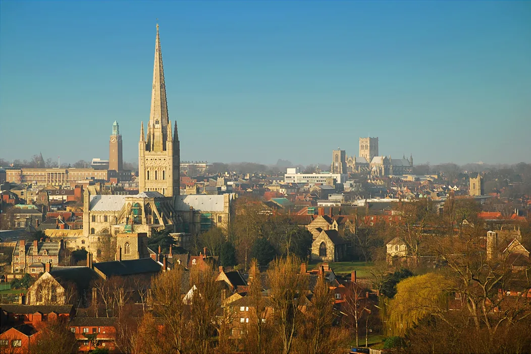
Norwich
Norwich — city in Norfolk, England.
 Flagship📷 4
Towns & cities · West Midlands
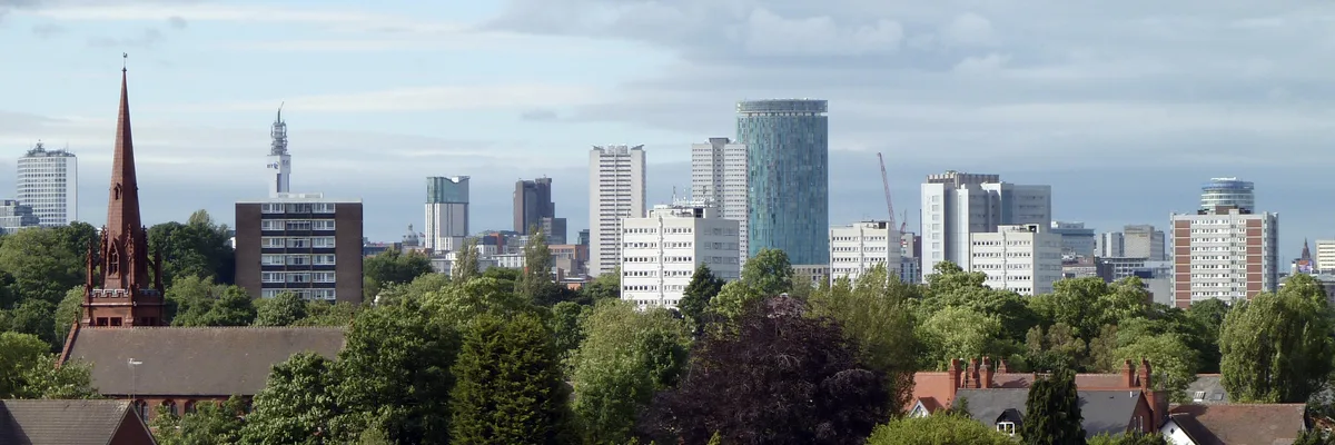
Birmingham
Birmingham — city in the West Midlands, England.
 Flagship📷 3
Towns & cities · West Midlands
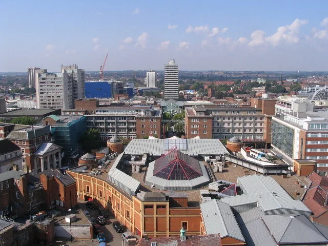
Coventry
Coventry — city in the West Midlands in England, UK.
 Flagship📷 4
Towns & cities · West Midlands
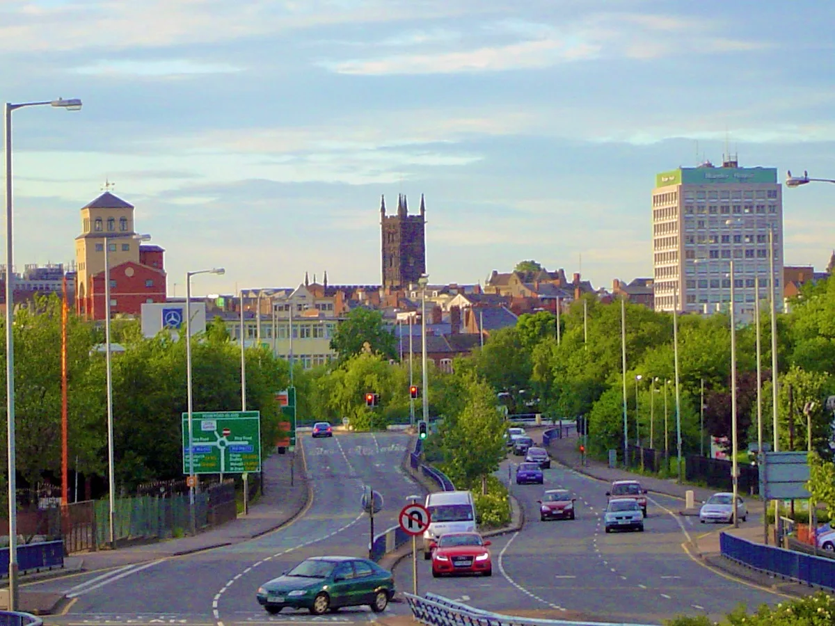
Wolverhampton
Wolverhampton — city in the West Midlands, England, United Kingdom.
More towns in this region
 Flagship📷 10
Towns & cities · London
Aldenham
Aldenham — village and civil parish in Hertfordshire, England.
 Flagship📷 10
Towns & cities · London
Ashdon
Ashdon — village and civil parish in Essex, UK.
 Flagship📷 10
Towns & cities · London
Betchworth
Betchworth — village and civil parish in the Mole Valley district of Surrey, England.
 Flagship📷 10
Towns & cities · London
Boxley
Boxley — village and civil parish in Maidstone District, Kent, England, UK.
Frequently asked questions
- Where is Peterborough?
- Peterborough is in London, United Kingdom (postcode PE), in the parish of Peterborough, unparished area.
- When was Peterborough built?
- Dates from the Anglo-Saxon period.
- Is Peterborough free to visit?
- Yes, Peterborough is free to enter.
- How do I get to Peterborough?
- The nearest railway station is Peterborough, about 0.5 km away. Drivers can navigate to postcode PE.