Towns & cities · South West England
Perranporth
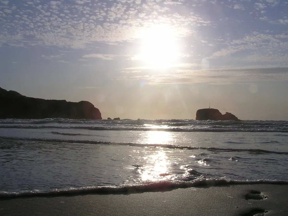
Perranporth — village in Cornwall, the United Kingdom.

Wikimedia Commons contributors — see linked file page for photographer and licence licence
Plan your visit
- Typical visit
- 3 h–6 h
- Nearest railway station
- Newlyn Halt · 7.7 km
- Free entry
- Family-friendly
- Dog-friendly
About
Perranporth is a town, city, village or settlement in the United Kingdom. Recent population estimates put it at around 3,066 people. Named after Saint Piran. Address: TR6. Wikidata describes it as: "village in Cornwall, the United Kingdom". Coordinates: 50.3455°, -5.1534°.
Photo gallery
Protected designations
- Area of Outstanding Natural Beauty: Cornwall
Designations sourced from Natural England open data under OGL v3.
From the Wikipedia article
Perranporth (Cornish: Porthperan) is a seaside resort town on the north coast of Cornwall, England, United Kingdom. It is 2.1 miles east of the St Agnes Heritage Coastline, and around 7 miles south-west of Newquay. Perranporth and its 2 miles (3 km) long beach face the Atlantic Ocean. It has a population of 3,066, and is the largest settlement in the civil parish of Perranzabuloe. It has an electoral ward in its own name whose population was 4,270 in the 2011 census. The town's modern name comes from Porth Peran, the Cornish for The Cove of Saint Piran who is the patron saint of Cornwall. He founded the St Piran's Oratory on Penhale Sands, near Perranporth, in the 7th century. The Oratory was buried under sand dunes for many centuries, being unearthed in 1835.
Excerpt from Wikipedia under CC BY-SA 4.0. See the source article linked in Sources below.
Background
History
John Woodward (1688–1728) recorded that iron ore was mined from a large vein on the beach. In the 1860s ore was moved up the cliff by a 'puffer' engine. It was then transported from Gravel Hill Mine, at the north end of Perran Beach, to a quay on the Gannel. The ship Voorspoed ran ashore in a northerly gale in Perran Bay on 7 March 1901 whilst travelling from Cardiff to Bahia. The wreck was one of the last to be looted. From 1903 Perranporth was served by a railway line. Built as the Truro and Newquay Railway, the line ran from Chacewater to Newquay and the principal intermediate stop was Perranporth station. Perranporth also had a second station, known as Perranporth Beach Halt. The line…
Sourced from Wikipedia under CC BY-SA 4.0.
- Coordinates
- 50.3455, -5.1534
- District
- Cornwall
- Parish
- Perranzabuloe
- Postcode
- TR6
- Parliamentary constituency
- Camborne and Redruth
- Population
- 3,066
- Nearest railway station
- Newlyn Halt — 7.7 km
- Official site
- www.perranporthinfo.co.uk
Sources
- wikidata: Q390260 (CC0)
- wikipedia: Perranporth (CC BY-SA 4.0)
- commons: Droskyn Point - geograph.org.uk - 23562.jpg (CC BY-SA 4.0)
Other places nearby
Loading nearby places…
Nearby
 📷 3
📷 3Museums · South West England
Perranporth Museum
Perranporth Museum — a museum in england-south-west, United Kingdom.
 📷 5
📷 5Beaches · South West England
Perranporth Beach
Perranporth Beach — beach in Cornwall, England, UK.
Hostels · South West England
Droskyn Lookout
Droskyn Lookout — a hostel in england south west.
Caravan parks · South West England
Liskey Hill Holiday Park
Liskey Hill Holiday Park — a caravan park in england south west.
Campsites · South West England
Perranporth Cp & Touring Park
Perranporth Cp & Touring Park — a campsite in england south west.
Campsites · South West England
Tollgate Farm Caravan & Camping
Tollgate Farm Caravan & Camping — a campsite in england south west.
More towns in this region
 Flagship📷 10
Towns & cities · South West England
All Saints
All Saints — village and civil parish in Devon, England, UK.
 Flagship📷 10
Towns & cities · South West England
Axmouth
Axmouth — village and civil parish in Devon, England, UK.
 ★ Iconic📷 10
Towns & cities · South West England
Beer
Beer — village and civil parish in Devon, UK.
 Flagship📷 10
Towns & cities · South West England
Branscombe
Branscombe — village and civil parish in Devon, UK.
Frequently asked questions
- Where is Perranporth?
- Perranporth is in South-West England, United Kingdom (postcode TR6), in the parish of Perranzabuloe.
- Is Perranporth a protected site?
- Yes — Perranporth is part of the Cornwall National Landscape (AONB).
- Is Perranporth free to visit?
- Yes, Perranporth is free to enter.
- How do I get to Perranporth?
- The nearest railway station is Newlyn Halt, about 7.7 km away. Drivers can navigate to postcode TR6.