Islands · South East England
Pergins Island
Pergins Island — island in Dorset, England.

Wikimedia Commons licence
Plan your visit
- Typical visit
- 4 h–12 h
- Nearest railway station
- Hamworthy · 1.5 km
- Free entry
- Dog-friendly
About
Pergins Island is a island in the United Kingdom. Wikidata describes it as: "island in Dorset, England". Coordinates: 50.7328°, -2.0014°.
Photo gallery
Protected designations
- Site of Special Scientific Interest: River Avon System SSSI
- Site of Special Scientific Interest: Poole Harbour SSSI
- Area of Outstanding Natural Beauty: Dorset
- Ramsar wetland: Poole Harbour
Designations sourced from Natural England open data under OGL v3.
From the Wikipedia article
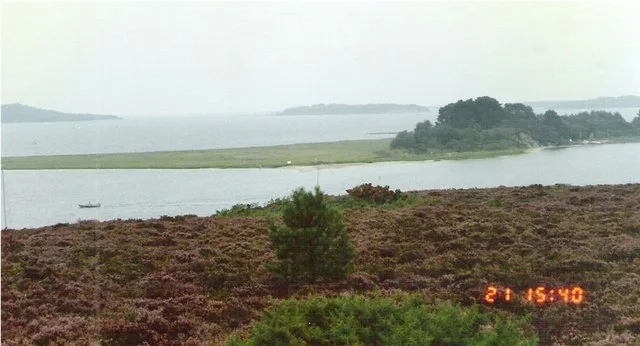
Pergins Island is a small, uninhabited island in Holes Bay, an embayment off Poole Harbour in Dorset on the south coast of England. It is not accessible to the public.
Excerpt from Wikipedia under CC BY-SA 4.0. See the source article linked in Sources below.
Background
History
Pergins Island was known for generations as 'Doughty's Island' (pronounced "Dowdy's") after Sir Edward Doughty who bought the nearby Upton House in 1828 along with its estate, which included the island. According to local hearsay, Doughty, a devout Catholic, had given permission for the poor people of Poole and Hamworthy to use the island for camping to escape the squalor of their homes. The Old Town in Poole used to contain slums which became very unhealthy during the warmer summer months and so mothers would take their children to camp on the island while the fathers continued to work, visiting their families when they could. The island, like the rest of the Upton Estate, belongs to the…
Sourced from Wikipedia under CC BY-SA 4.0.
- Coordinates
- 50.7328, -2.0014
- Parish
- Bournemouth, Christchurch and Poole, unparished area
- Postcode
- BH17 7FR
- Parliamentary constituency
- Poole
- Nearest railway station
- Hamworthy — 1.5 km
Sources
- wikidata: Q28407855 (CC0)
- wikipedia: Pergins Island (CC BY-SA 4.0)
Other places nearby
Loading nearby places…
Nearby
 📷 5
📷 5Viewpoints · South East England
Hide
Hide is a viewpoint in the United Kingdom.
 📷 5
📷 5Historic houses · South East England
Upton House
Upton House — house in Bournemouth, Christchurch and Poole, Dorset, England, UK.
 📷 5
📷 5Memorials & monuments · South East England
War Memorial in St Michael's Churchyard
War Memorial in St Michael's Churchyard — Grade II listed building-listed memorial in england-south-east, United Kingdom.
 📷 5
📷 5Gardens · South East England
RNLI College
RNLI College — a garden in england-south-east, United Kingdom.
 📷 5
📷 5Stadiums · South East England
Poole Stadium
Poole Stadium — venue and speedway track in Poole, Dorset in England.
 📷 5
📷 5Viewpoints · South East England
Lychett Bay Viewpoint
Lychett Bay Viewpoint is a viewpoint in the United Kingdom.
More places in this region
 Flagship📷 10
Islands · South East England
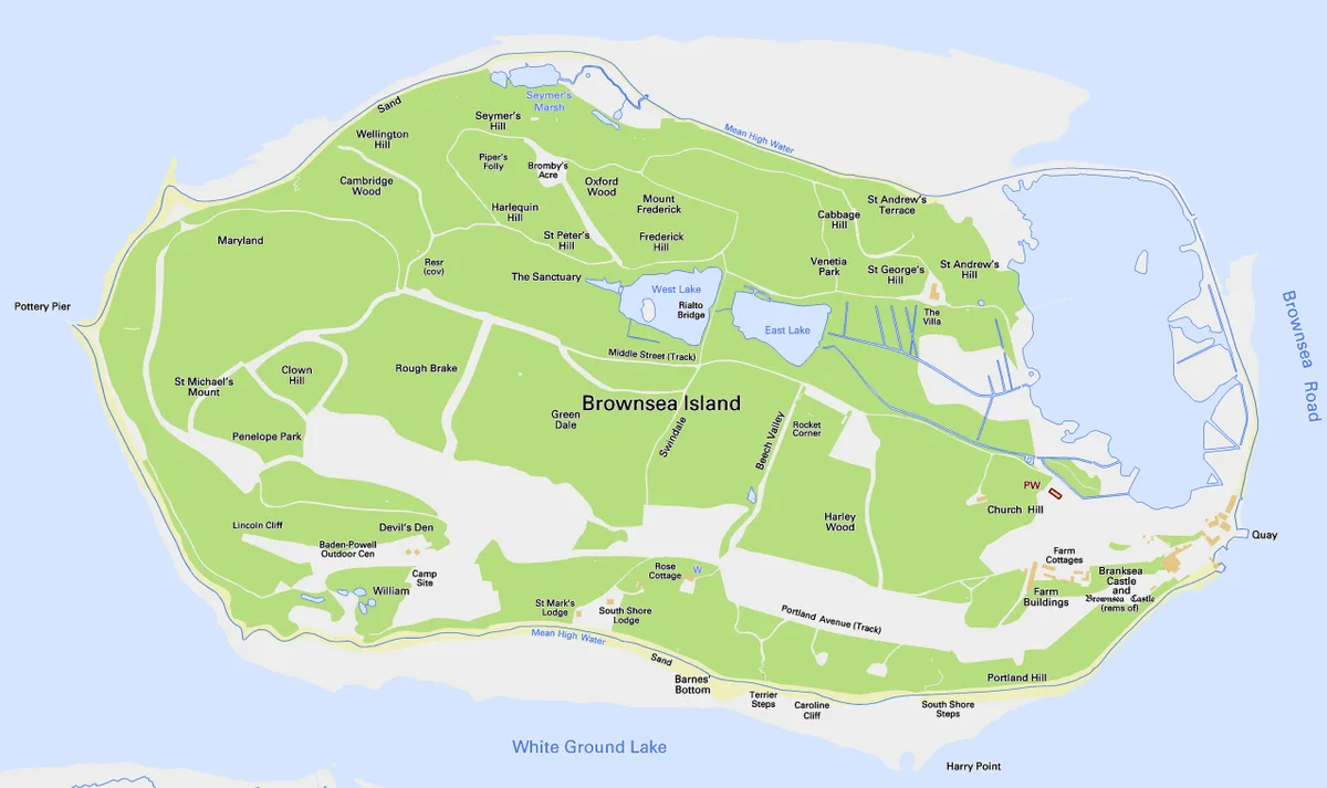
Brownsea Island
Brownsea Island — island in Poole Harbour, Dorset, England, UK.
 Flagship📷 10
Islands · South East England
Hayling Island
Hayling Island — island off the south coast of England.
 Flagship📷 7
Islands · South East England
Isle of Sheppey
Isle of Sheppey — island off the northern coast of Kent, England in the Thames Estuary.
 Flagship📷 10
Islands · South East England
Long Island
Long Island — island in Dorset, England.
Frequently asked questions
- Where is Pergins Island?
- Pergins Island is in South-East England, United Kingdom (postcode BH17 7FR), in the parish of Bournemouth, Christchurch and Poole, unparished area.
- Is Pergins Island a protected site?
- Yes — Pergins Island is part of the River Avon System SSSI Site of Special Scientific Interest and the Poole Harbour SSSI Site of Special Scientific Interest.
- Is Pergins Island free to visit?
- Yes, Pergins Island is free to enter.
- How do I get to Pergins Island?
- The nearest railway station is Hamworthy, about 1.5 km away. Drivers can navigate to postcode BH17 7FR.