Towns & cities · South East England
Pentridge
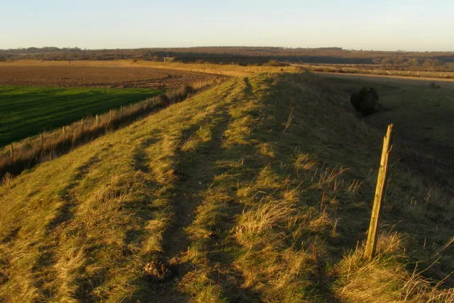
Pentridge — village in Dorset, England, UK.

Wikimedia Commons contributors — see linked file page for photographer and licence licence
Plan your visit
- Typical visit
- 3 h–6 h
- Free entry
- Family-friendly
- Dog-friendly
About
Pentridge is a town, city, village or settlement in the United Kingdom. Recent population estimates put it at around 160 people. Wikidata describes it as: "village in Dorset, England, UK". Coordinates: 50.9590°, -1.9540°.
Photo gallery
Protected designations
- Site of Special Scientific Interest: River Avon System SSSI
- Site of Special Scientific Interest: Martin and Tidpit Downs SSSI
- Site of Special Scientific Interest: Pentridge Down SSSI
- Area of Outstanding Natural Beauty: Cranborne Chase & West Wiltshire Downs
Designations sourced from Natural England open data under OGL v3.
From the Wikipedia article
Pentridge is a village and former civil parish, now in the parish of Sixpenny Handley and Pentridge, in the Dorset district, in the ceremonial county of Dorset, England, lying in the north-east of the county. It is situated on the edge of Cranborne Chase down a dead-end minor lane just south of the A354 road between the towns of Blandford Forum (ten miles to the south-west) and Salisbury (twelve miles to the northeast). In 2001 the parish had a population of 215. The civil parish was abolished on 1 April 2015 and merged with Sixpenny Handley to form "Sixpenny Handley and Pentridge". The village name derives from the Celtic pen ("hill") and twrch ("boar"), and thus means "hill of the wild boar"; its existence was first recorded (as "Pentric") in the eighth century, eighty years before the birth of Alfred the Great. The village is located amongst many Neolithic, Roman and Saxon earthworks, notably Bokerley Dyke, a long defensive ditch which was dug by the Romano-British to keep out the Saxon invaders. Saint Rumbold's church is on a slope north of the village road. One of the graves is for Roland "Bee" Beamont (1920-2001) who was a famous test pilot, and his wife. To the south is Pentridge Hill (185 metres ASL, formed by a band of more resistant chalk than the surrounding land.
Excerpt from Wikipedia under CC BY-SA 4.0. See the source article linked in Sources below.
- Coordinates
- 50.9590, -1.9540
- District
- Dorset
- Parish
- Sixpenny Handley and Pentridge
- Postcode
- SP5 5QX
- Parliamentary constituency
- North Dorset
- Population
- 160
Sources
- wikidata: Q1770564 (CC0)
- wikipedia: Pentridge (CC BY-SA 4.0)
- commons: Pentridge, parish church of St. Rumbold - geograph.org.uk - 521772.jpg (CC BY-SA 4.0)
Other places nearby
Loading nearby places…
Nearby
Vineyards · South East England
Penbury Knoll camp on Pentridge Hill
Penbury Knoll camp on Pentridge Hill — a UK vineyard in england south east, producing English or Welsh wine from cool-climate grape varieties.
 📷 4
📷 4Burial mounds & barrows · South East England
Oakley Down Barrow Cemetery
Oakley Down Barrow Cemetery — a burial mound in england-south-east, United Kingdom.
 📷 5
📷 5Hill forts · South East England
Bokerley Dyke
Bokerley Dyke — Romano-British defensive dyke.
 📷 5
📷 5Burial mounds & barrows · South East England
Wor Barrow
Wor Barrow — a burial mound in england-south-east, United Kingdom.
 📷 5
📷 5Hill forts · South East England
Dorset Cursus
Dorset Cursus — Neolithic monument in South West England.
 📷 5
📷 5Manor houses · South East England
West Woodyates Manor
West Woodyates Manor — a manor in england-south-east, United Kingdom.
More towns in this region
 Flagship📷 10
Towns & cities · South East England
Aldermaston
Aldermaston — village and civil parish in West Berkshire in England, UK.
 Flagship📷 10
Towns & cities · South East England
Aldingbourne
Aldingbourne — village and civil parish in Arun, West Sussex, UK.
 Flagship📷 10
Towns & cities · South East England
Aldington
Aldington — village and civil parish in the Ashford District of Kent, England.
 Flagship📷 10
Towns & cities · South East England
Aldworth
Aldworth — village and civil parish in the English county of Berkshire.
Frequently asked questions
- Where is Pentridge?
- Pentridge is in South-East England, United Kingdom (postcode SP5 5QX), in the parish of Sixpenny Handley and Pentridge.
- Is Pentridge a protected site?
- Yes — Pentridge is part of the River Avon System SSSI Site of Special Scientific Interest and the Martin and Tidpit Downs SSSI Site of Special Scientific Interest.
- Is Pentridge free to visit?
- Yes, Pentridge is free to enter.
- How do I get to Pentridge?
- Drivers can navigate to postcode SP5 5QX. It sits within the North Dorset parliamentary constituency.