Stately homes · North Wales
Pen y Bryn
Pen y Bryn — Grade II* listed building in Gwynedd. Building in Abergwyngregyn, Gwynedd, Wales.

Wikimedia Commons contributors — see linked file page for photographer and licence licence
%2C_Abergwyngregyn%2C_Gwynedd_-_04.jpg)
Plan your visit
- Typical visit
- 2 h–4 h
- Nearest railway station
- Llanfairfechan · 3.1 km
- Family-friendly
- Limited wheelchair access
About
Pen y Bryn is a stately home in the United Kingdom. Heritage designation: scheduled monument. Wikidata describes it as: "Grade II* listed building in Gwynedd. Building in Abergwyngregyn, Gwynedd, Wales". Coordinates: 53.2347°, -4.0117°.
Photo gallery
Heritage listing
Pen y Bryn is a two-storey manor house, in Abergwyngregyn, Gwynedd, in north-west Wales, adjacent to the A55, five miles east of Bangor and eight miles west of Conwy. It is constructed mainly of broken stone, with roughly dressed quoins and a slate roof. The house is situated within Garth Celyn, a double bank and ditch, overlooking the Menai Strait to Anglesey. A smaller house was immediately adjacent in 1811 when Sir Richard Colt-Hoare recorded it; this was demolished by 1815. The present structure incorporates a four-storey stone tower. The present roof timbers were dated by dendrochronology to 1624, when the house was refurbished.
From Cadw under OGL v3.
From the Wikipedia article
Pen y Bryn is a two-storey manor house, in Abergwyngregyn, Gwynedd, in north-west Wales, adjacent to the A55, five miles east of Bangor and eight miles west of Conwy. It is constructed mainly of broken stone, with roughly dressed quoins and a slate roof. The house is situated within Garth Celyn, a double bank and ditch, overlooking the Menai Strait to Anglesey. A smaller house was immediately adjacent in 1811 when Sir Richard Colt-Hoare recorded it; this was demolished by 1815. The present structure incorporates a four-storey stone tower. The present roof timbers were dated by dendrochronology to 1624, when the house was refurbished. There is evidence of long use with multiple rebuildings before 1624, but there is disagreement on the duration and nature of its mediaeval use.
Excerpt from Wikipedia under CC BY-SA 4.0. See the source article linked in Sources below.
Background
Architecture
In 1303–06 building works at "Aber" were carried out on a large scale, including the importation of broken stone and of lime for mortar. The remains of the other candidate for such work, the high-status early mediaeval site, on and near the mound known as the Mŵd, do not now have masonry of broken stone and may not have been large enough to justify the quantities of material recorded. In 1553 Rhys Thomas and his wife Jane acquired the house from the Crown. The present roof timbers were felled between 1619 and 1624. The tower may be a slightly later addition, and there were further additions in the early eighteenth and nineteenth centuries.
Sourced from Wikipedia under CC BY-SA 4.0.
- Coordinates
- 53.2347, -4.0117
- District
- Gwynedd
- Parish
- Aber
- Postcode
- LL33 0LA
- Parliamentary constituency
- Bangor Aberconwy
- Nearest railway station
- Llanfairfechan — 3.1 km
Sources
- wikidata: Q7162120 (CC0)
- wikipedia: Pen y Bryn (CC BY-SA 4.0)
- commons: Pen y Bryn (yn anghywir - Garth Celyn), Abergwyngregyn, Gwynedd - 04.jpg (CC BY-SA 4.0)
Other places nearby
Loading nearby places…
Nearby
 📷 5
📷 5Historic churches · North Wales
Abergwyngregyn
Abergwyngregyn (Welsh: [abɛrɡwɨnˈɡrɛɡɨn]) is a village and community of historical note in Gwynedd, a county and principal area in Wales. Under its historic name of Aber Garth Celyn it was the seat of
 📷 3
📷 3Hill forts · North Wales
Maes-y-Gaer Hillfort
Maes-y-Gaer Hillfort — a hill fort in wales-north, United Kingdom.
Vineyards · North Wales
Maes-y-Gaer
Maes-y-Gaer — a UK vineyard in wales north, producing English or Welsh wine from cool-climate grape varieties.
 📷 3
📷 3Distilleries · North Wales
Aber Falls Distillery
Aber Falls Distillery — Whisky/spirit distillery.
 📷 3
📷 3Mountains & hills · North Wales
Pen y Cydgoed
Pen y Cydgoed — a mountain in wales-north, United Kingdom, 287 m.
 📷 3
📷 3Forests & woodlands · North Wales
Gwarchodfa Natur Genedlaethol Coedydd Aber
Gwarchodfa Natur Genedlaethol Coedydd Aber is a forest or woodland in the United Kingdom.
More places in this region
 📷 3
📷 3Stately homes · North Wales
Burton Manor
Burton Manor — Grade II listed building in Burton, near Neston, Cheshire, England, UK.
 📷 5
📷 5Stately homes · North Wales
Bretton Hall, Flintshire
Bretton Hall, Flintshire — former fortified manor house on the England/Wales border.
 📷 3
📷 3Stately homes · North Wales
Brymbo Hall
Brymbo Hall — Demolished manor house near Wrexham, Wales.
 Flagship📷 3
Stately homes · North Wales
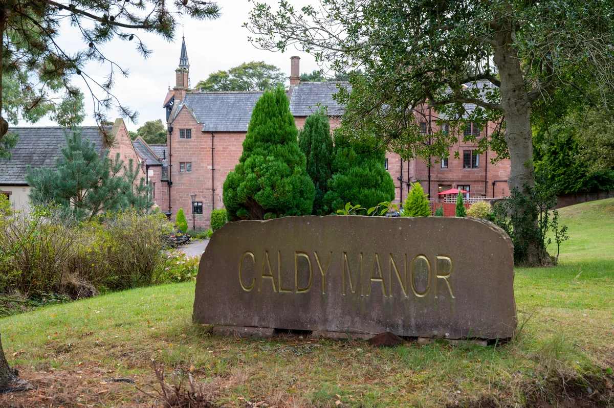
Caldy Manor
Caldy Manor — manor house in Wirral, Merseyside, England, UK.
Frequently asked questions
- Where is Pen y Bryn?
- Pen y Bryn is in North Wales, United Kingdom (postcode LL33 0LA), in the parish of Aber.
- Who owns Pen y Bryn?
- Pen y Bryn is owned by | location = Abergwyngregyn, Aber, in Gwynedd, north Wales.
- Is Pen y Bryn a listed building?
- Pen y Bryn is officially recognised as scheduled monument listed.
- How do I get to Pen y Bryn?
- The nearest railway station is Llanfairfechan, about 3.1 km away. Drivers can navigate to postcode LL33 0LA.