Historic churches · North West England
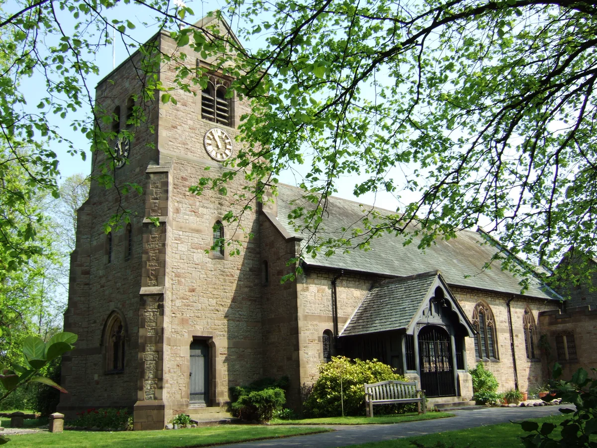
Pemberton, Greater Manchester
Pemberton is an area of Wigan, in Greater Manchester, England. It lies on the southwestern bank of the River Douglas, and east of the M6 motorway. The area is contiguous with Orrell and as a ward has

Alex McGregor — CC BY-SA 2.0 via Wikimedia Commons licence
Plan your visit
- Typical visit
- 30 min–1 h
- Free entry
About
Pemberton is an area of Wigan, in Greater Manchester, England. It lies on the southwestern bank of the River Douglas, and east of the M6 motorway. The area is contiguous with Orrell and as a ward has a population of 13,638, increasing to 13,982 at the 2011 Census. Historically a part of Lancashire, Pemberton was formerly a township and parish in the hundred of West Derby. Following the Industrial Revolution, Pemberton became a densely populated industrial district comprising a variety of coal mines, stone-quarries, brick manufactories, and cotton mills. Coal mining was the principal industry of what was described in 1911 as an "unpicturesque, bare and open" area. The former Pemberton Urban District, along with Wigan Municipal Borough merged to form the County Borough of Wigan in 1904.
Photo gallery
From the Wikipedia article
Pemberton is an area of Wigan, in Greater Manchester, England. It lies on the southwestern bank of the River Douglas, and east of the M6 motorway. The area is contiguous with Orrell and as a ward has a population of 13,638, increasing to 13,982 at the 2011 Census. Historically a part of Lancashire, Pemberton was formerly a township and parish in the hundred of West Derby. Following the Industrial Revolution, Pemberton became a densely populated industrial district comprising a variety of coal mines, stone-quarries, brick manufactories, and cotton mills. Coal mining was the principal industry of what was described in 1911 as an "unpicturesque, bare and open" area. The former Pemberton Urban District, along with Wigan Municipal Borough merged to form the County Borough of Wigan in 1904.
Excerpt from Wikipedia under CC BY-SA 4.0. See the source article linked in Sources below.
Background
History
The name Pemberton derives from Penn-bere-tūn, which is believed to be a combination of the Celtic penn meaning hill, the Old English bere meaning barley plus the Old English suffix of -ton meaning a farm or settlement. Unmentioned in the Domesday Book of 1086, Pemberton does not appear in records until 1212, when it was documented to have been a thegnage estate, or manor, comprising "two plough-lands", with an annual rate of 20 shillings payable by the tenant, Alan de Windle, to King John. There were several collieries in the area, and sandstone was also quarried. At Newtown were cotton mills and iron works. The area is served by Pemberton railway station.
Sourced from Wikipedia under CC BY-SA 4.0.
- Coordinates
- 53.5360, -2.6738
- District
- Wigan
- Parish
- Wigan, unparished area
- Postcode
- WN5 9LQ
- Parliamentary constituency
- Wigan
Sources
- wikipedia: Pemberton, Greater Manchester (CC BY-SA 4.0)
Other places nearby
Loading nearby places…
Nearby
 📷 3
📷 3Theatres · North West England
Unit Four Cinemas
Unit Four Cinemas in England North West, United Kingdom.
 📷 3
📷 3Historic churches · North West England
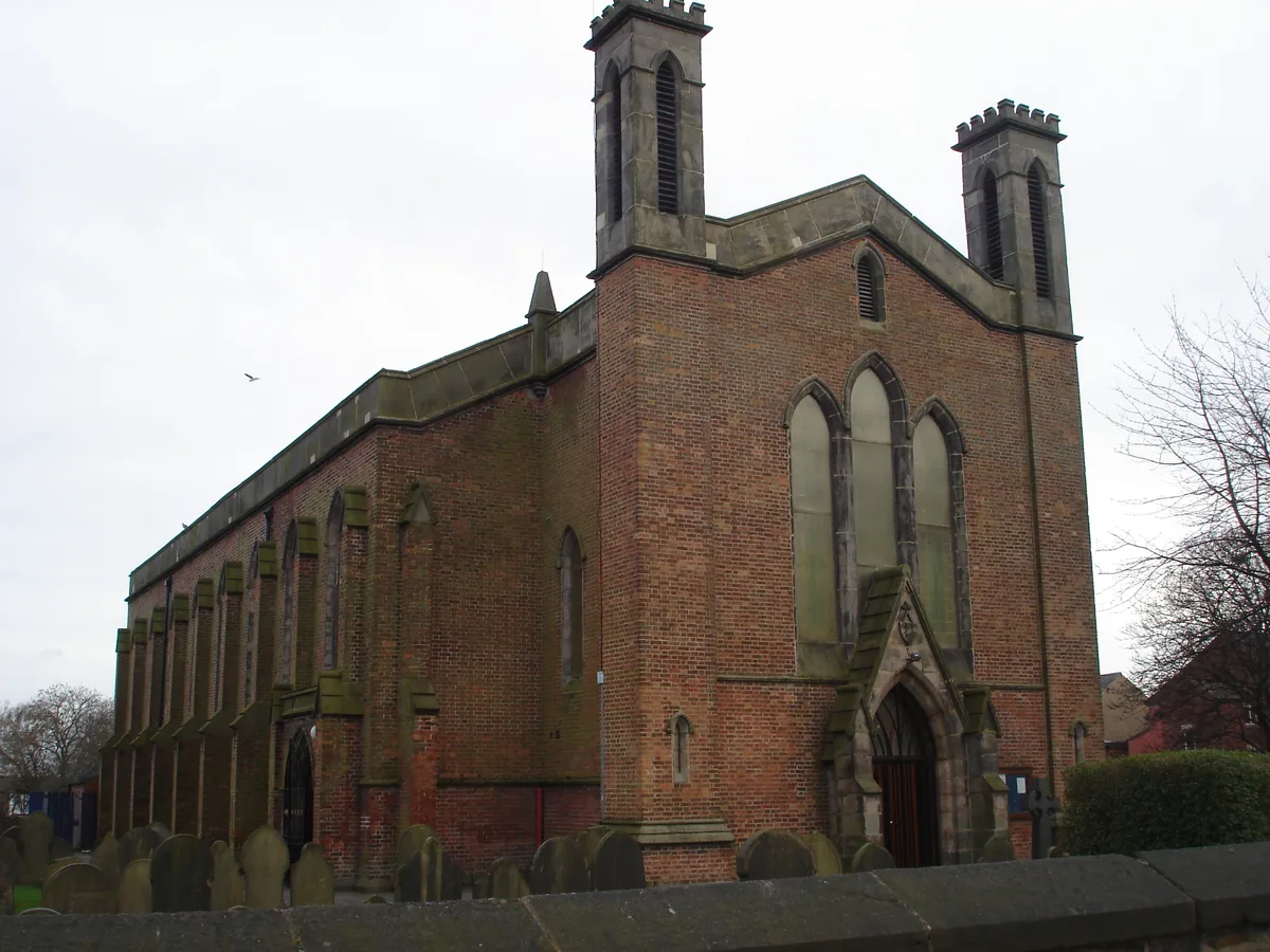
St John the Divine's Church, Pemberton
St John the Divine's Church, Pemberton — church in Pemberton, Greater Manchester, England, UK.
 📷 3
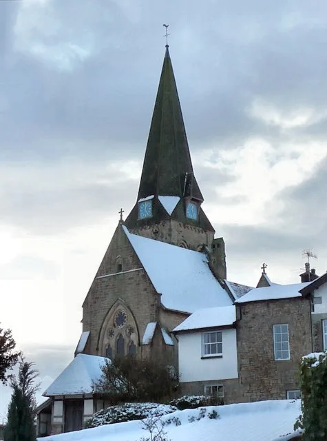
📷 3Historic churches · North West England
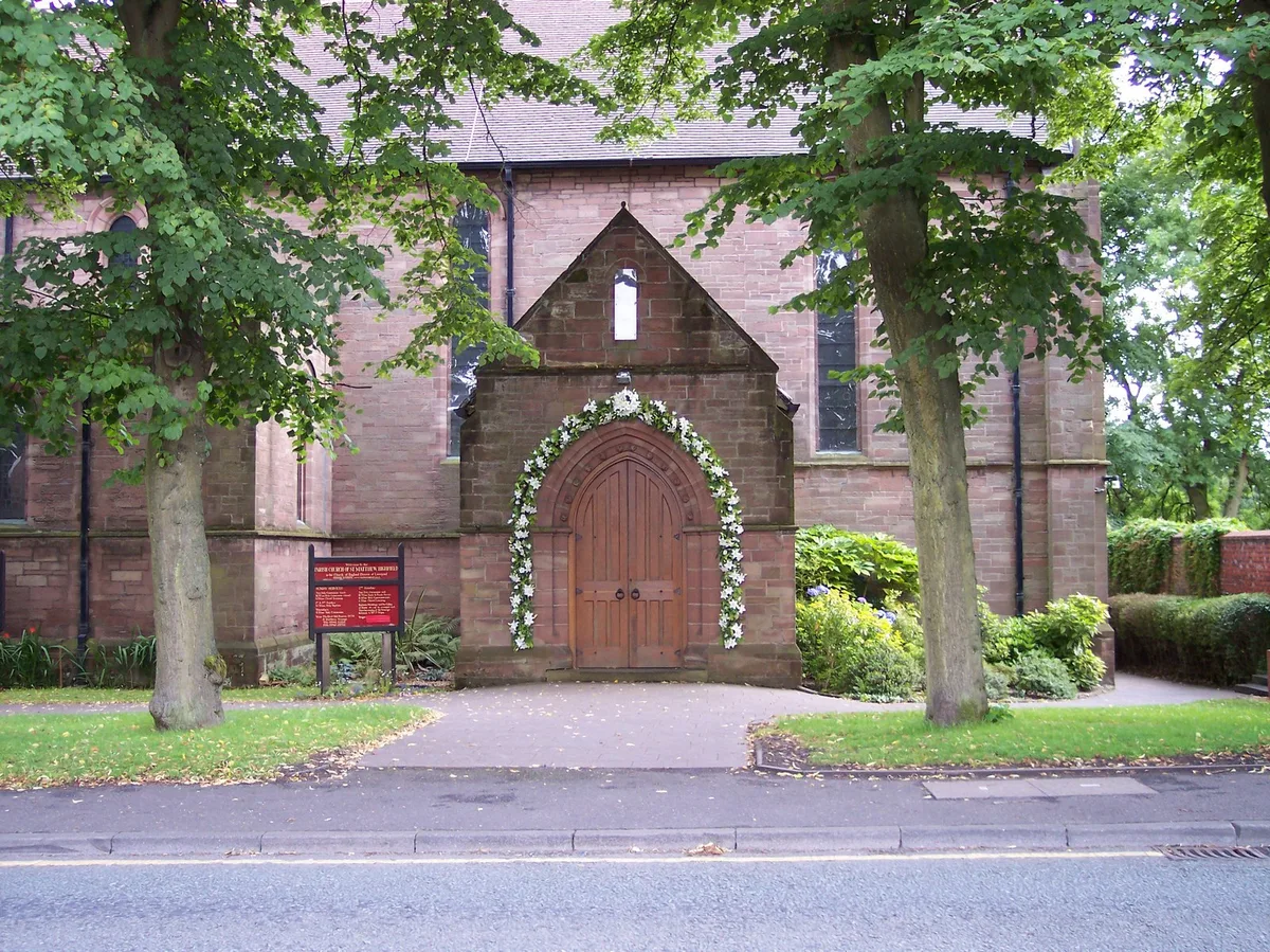
St Matthew's Church, Wigan
St Matthew's Church, Wigan — church in Wigan, Greater Manchester, England, UK.
 📷 3
📷 3Memorials & monuments · North West England
Blundell Monument
Blundell Monument — a memorial in england-north-west, United Kingdom.
 📷 3
📷 3Historic bridges · North West England
Skew Bridge
Skew Bridge is a historic bridge in the United Kingdom.
Cinemas · North West England
Omniplex Cinema
Omniplex Cinema — a cinema in england north west.
More places in this region
 📷 3
📷 3Historic churches · North West England
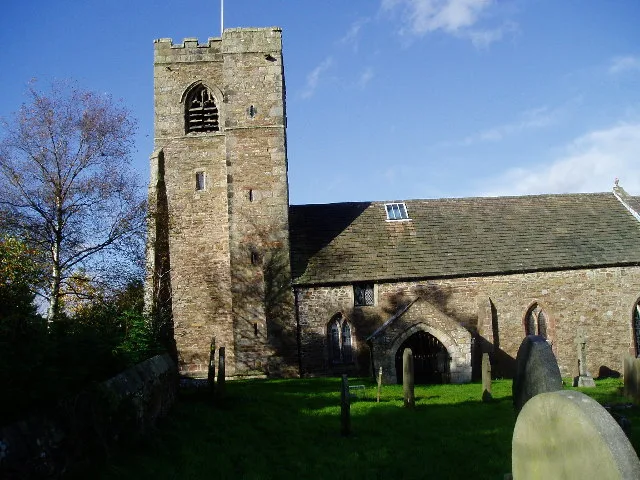
All Hallows Church, Great Mitton
All Hallows Church, Great Mitton — church in the village of Great Mitton, Lancashire, England, UK.
 📷 3
📷 3Historic churches · North West England
All Saints Church, Barnacre
All Saints Church, Barnacre — grade II listed church in Barnacre-with-Bonds, Wyre, Lancashire, England, UK.
 📷 3
📷 3Historic churches · North West England
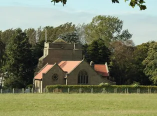
All Saints Church, Becconsall
All Saints Church, Becconsall — church in United Kingdom.
 📷 3
📷 3Historic churches · North West England
All Saints Church, Burton in Lonsdale
All Saints Church, Burton in Lonsdale — church in Burton in Lonsdale, North Yorkshire, England, UK.
Frequently asked questions
- Where is Pemberton, Greater Manchester?
- Pemberton, Greater Manchester is in North-West England, United Kingdom (postcode WN5 9LQ), in the parish of Wigan, unparished area.
- Is Pemberton, Greater Manchester free to visit?
- Yes, Pemberton, Greater Manchester is free to enter.
- How do I get to Pemberton, Greater Manchester?
- Drivers can navigate to postcode WN5 9LQ. It sits within the Wigan parliamentary constituency.