Towns & cities · London
Pegsdon
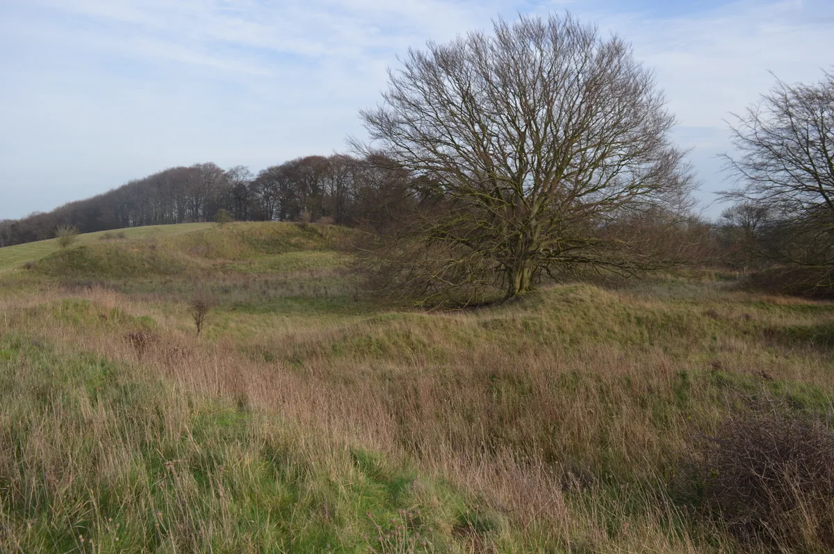
Pegsdon — village in Bedfordshire, England, UK.

Wikimedia Commons contributors — see linked file page for photographer and licence licence
Plan your visit
- Typical visit
- 3 h–6 h
- Nearest railway station
- Hitchin · 7.7 km
- Free entry
- Family-friendly
- Dog-friendly
About
Pegsdon is a town, city, village or settlement in the United Kingdom. Address: SG5. Wikidata describes it as: "village in Bedfordshire, England, UK". Coordinates: 51.9635°, -0.3746°.
Photo gallery
Protected designations
- Area of Outstanding Natural Beauty: Chilterns
Designations sourced from Natural England open data under OGL v3.
From the Wikipedia article
Pegsdon is a hamlet located in the Central Bedfordshire district of Bedfordshire, England. It is part of the Shillington civil parish, and is almost encircled by the county border with Hertfordshire. Pegsdon Hills are located south and east of Pegsdon. They form the north-eastern end of the Chiltern Hills, and are managed as a nature reserve by the Wildlife Trust for Bedfordshire, Cambridgeshire and Northamptonshire. They adjoin Deacon Hill, and Deacon Hill and half of Pegsdon Hills are designated a Site of Special Scientific Interest. Knocking Hoe is accessed by a footpath from Hitchin Road. It is a national nature reserve and a Site of Special Scientific Interest.
Excerpt from Wikipedia under CC BY-SA 4.0. See the source article linked in Sources below.
Background
History
One of the earliest pieces of evidence for settlement in the Pegsdon area is a polished greenstone Neolithic axe, found about 1880 (Her 407).
Sourced from Wikipedia under CC BY-SA 4.0.
- Coordinates
- 51.9635, -0.3746
- District
- Central Bedfordshire
- Parish
- Shillington
- Postcode
- SG5
- Parliamentary constituency
- Mid Bedfordshire
- Nearest railway station
- Hitchin — 7.7 km
Sources
- wikidata: Q1519306 (CC0)
- wikipedia: Pegsdon (CC BY-SA 4.0)
- commons: Live and Let Live Pegsdon - geograph.org.uk - 204490.jpg (CC BY-SA 4.0)
Other places nearby
Loading nearby places…
Nearby
 📷 5
📷 5Forests & woodlands · London
Pegsdon Hills
Pegsdon Hills is a forest or woodland in the United Kingdom.
📷 5Wildlife reserves · London
Pegsdon Hills
Pegsdon Hills — nature reserve in Bedfordshire, England, UK.
 📷 5
📷 5Forests & woodlands · London
Hexton Chalk Pits
Hexton Chalk Pits is a forest or woodland in the United Kingdom.
 📷 5
📷 5Forests & woodlands · London
Knocking Hoe National Nature Reserve
Knocking Hoe National Nature Reserve is a forest or woodland in the United Kingdom.
 📷 5
📷 5Burial mounds & barrows · London
Knocking Knoll Long Barrow
Knocking Knoll Long Barrow — a burial mound in england-london, United Kingdom.
 📷 5
📷 5Wildlife reserves · London
Barton Gravel Pit
Barton Gravel Pit — nature reserve in the United Kingdom.
More towns in this region
 Flagship📷 10
Towns & cities · London
Aldenham
Aldenham — village and civil parish in Hertfordshire, England.
 Flagship📷 10
Towns & cities · London
Ashdon
Ashdon — village and civil parish in Essex, UK.
 Flagship📷 10
Towns & cities · London
Betchworth
Betchworth — village and civil parish in the Mole Valley district of Surrey, England.
 Flagship📷 10
Towns & cities · London
Boxley
Boxley — village and civil parish in Maidstone District, Kent, England, UK.
Frequently asked questions
- Where is Pegsdon?
- Pegsdon is in London, United Kingdom (postcode SG5), in the parish of Shillington.
- Is Pegsdon a protected site?
- Yes — Pegsdon is part of the Chilterns National Landscape (AONB).
- Is Pegsdon free to visit?
- Yes, Pegsdon is free to enter.
- How do I get to Pegsdon?
- The nearest railway station is Hitchin, about 7.7 km away. Drivers can navigate to postcode SG5.