Towns & cities · Central Scotland
Pathhead
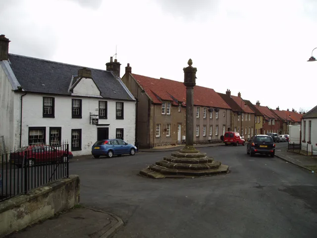
Pathhead — village in Fife, Scotland, UK.

Wikimedia Commons contributors — see linked file page for photographer and licence licence
Plan your visit
- Typical visit
- 3 h–6 h
- Nearest railway station
- Kirkcaldy · 1.6 km
- Free entry
- Family-friendly
- Dog-friendly
About
Pathhead is a town, city, village or settlement in the United Kingdom. Recent population estimates put it at around 960 people. Wikidata describes it as: "village in Fife, Scotland, UK". Coordinates: 56.1208°, -3.1464°.
Photo gallery
From the Wikipedia article
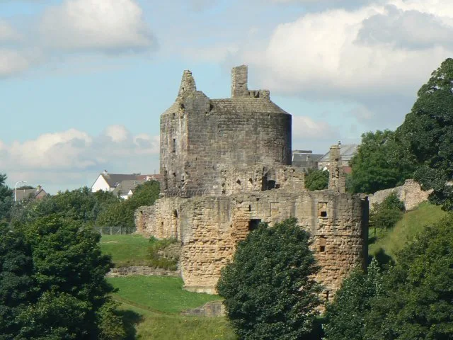
Pathhead (Scots: Paithheid) is an area of Kirkcaldy, in Fife, Scotland. Pathhead was an independent village before it was incorporated into the Royal burgh of Kirkcaldy. In Jan Blaeu's map of Scotland from the 17th century reference is made to the village of Peth-heed, present day Pathhead. With the Firth of Forth to the south, Kirkcaldy to the 'west', Dysart to the east, and Gallatown, Sinclairtown and Dunnikier to the north. According to Robert Brodie's Historical Sketches of Pathhead and Vicinity, "Whatever time it may have begun to appear as a town, we know from good authority that in 1666 there were eighty houses in it. The estate had passed through a number of hands; but, notwithstanding, the feuers had evidently been increasing in numbers. In that year, John Watson, sen., went to law with the feuers for the purpose of depriving them of their privilege of taking stones and clay, fail and divet, from the whole muir of Dunnikier, which they had enjoyed since the year 1608." The town houses the historic Ravenscraig Castle commissioned by James II in 1460; many of the former premises of the Nairn's Linoleum Factories; and, the Manse in which both O. Douglas and John Buchan grew up. Historically, the village was a centre for nailmaking, Adam Smith's "very trifling manufacture" inspiring his division of labour principle from An Inquiry into the Nature and Causes of the Wealth of Nations (1776). It looks out over the neglected Pathhead Sands, and industry today is centred on Hutchison's Flour Mill and the Forbo-Nairn Plant. The historic centre of Pathhead is a trio of streets running parallel with the coast: Nether Street, Mid Street and what used to be Back Street, now Commercial Street. Water was supplied from wells at either end of Mid Street and vibrant commerce was centred on the Pathhead and Sinclairtown Reform Co-operative Society of present-day Branning Court, which was established in 1914. Ecclesiastical life focuses on Pathhead Parish Church, a Dysart…
Excerpt from Wikipedia under CC BY-SA 4.0. See the source article linked in Sources below.
- Coordinates
- 56.1208, -3.1464
- District
- Fife
- Postcode
- KY1 2PH
- Parliamentary constituency
- Cowdenbeath and Kirkcaldy
- Population
- 960
- Nearest railway station
- Kirkcaldy — 1.6 km
Sources
- wikidata: Q1009731 (CC0)
- wikipedia: Pathhead (CC BY-SA 4.0)
- commons: Pathhead roundabout.jpg (CC BY-SA 4.0)
Other places nearby
Loading nearby places…
Nearby
 📷 4
📷 4Historic houses · Scottish Highlands
Path House (Pathhead Medical Centre), 3-9 Nether Street, Kirkcaldy
Path House (Pathhead Medical Centre), 3-9 Nether Street, Kirkcaldy in Scotland Islands, United Kingdom.
📷 5Historic churches · Central Scotland
Pathhead Evangelical Union Congregational Church, Pathhead Court, Kirkcaldy
Pathhead Evangelical Union Congregational Church, Pathhead Court, Kirkcaldy — category C listed building-listed church in scotland-central, United Kingdom.
 📷 3
📷 3Castles · Central Scotland
Ravenscraig Castle
Ravenscraig Castle — castle in Fife, Scotland, UK.
 📷 5
📷 5Historic churches · Central Scotland
Pathhead Parish Church, Church Street, Kirkcaldy
Pathhead Parish Church, Church Street, Kirkcaldy — category B listed building-listed church in scotland-central, United Kingdom.
 📷 3
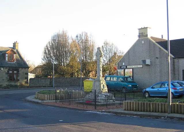
📷 3Memorials & monuments · Central Scotland
Melville Brodie Engineering Memorial
Melville Brodie Engineering Memorial — a memorial in scotland-central, United Kingdom.
 📷 5
📷 5Historic bridges · Central Scotland
East Bridge, East Bridge Flour Mills, The Path, Kirkcaldy
East Bridge, East Bridge Flour Mills, The Path, Kirkcaldy — category B listed building-listed bridge in scotland-central, United Kingdom.
More towns in this region
 Flagship📷 3
Towns & cities · Central Scotland
Airth
Airth — village in Falkirk, Scotland, UK.
 Flagship📷 5
Towns & cities · Central Scotland
Avonbridge
Avonbridge — village in Falkirk, Scotland, UK.
 Flagship📷 3
Towns & cities · Central Scotland
Banknock
Banknock — village in Falkirk, Scotland, UK.
 Flagship📷 3
Towns & cities · Central Scotland
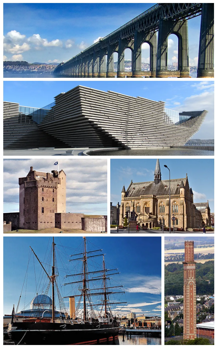
Dundee
Dundee — city in Scotland, UK.
Frequently asked questions
- Where is Pathhead?
- Pathhead is in central Scotland, United Kingdom (postcode KY1 2PH).
- Is Pathhead free to visit?
- Yes, Pathhead is free to enter.
- How do I get to Pathhead?
- The nearest railway station is Kirkcaldy, about 1.6 km away. Drivers can navigate to postcode KY1 2PH.