Archaeological sites · South East England
Part of the linear boundary known as the Wansdyke 285m north west of Manor Farm
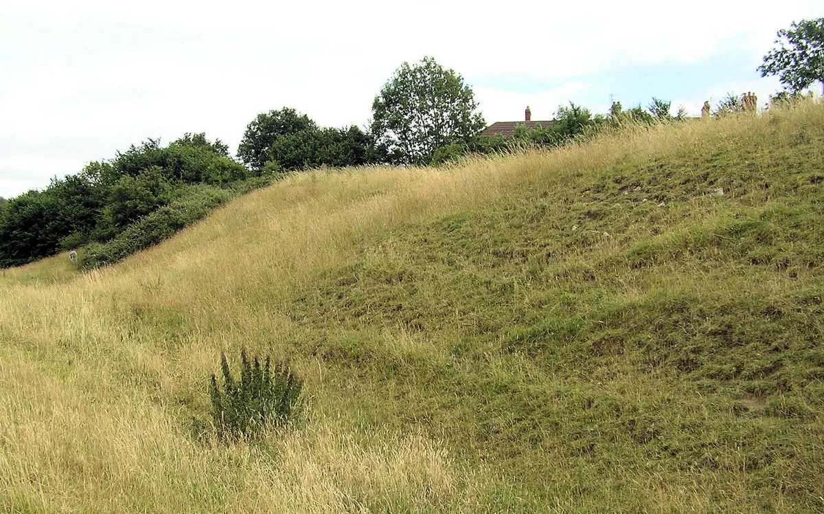
Part of the linear boundary known as the Wansdyke 285m north west of Manor Farm — archaeological site in Englishcombe, Bath and North East Somerset, England, UK.

Wikimedia Commons contributors — see linked file page for photographer and licence licence
Plan your visit
- Typical visit
- 45 min–1.5 h
- Nearest railway station
- Oldfield Park · 2.9 km
- Free entry
- Dog-friendly
About
Part of the linear boundary known as the Wansdyke 285m north west of Manor Farm is a place of interest in South-East England. Officially recognised as scheduled monument. The site is within the Cotswolds National Landscape (AONB). It sits within the Frome and East Somerset parliamentary constituency. The nearest railway station is Oldfield Park, about 2.9 km away. Postcode area BA2.
Photo gallery
Protected designations
- Area of Outstanding Natural Beauty: Cotswolds
Designations sourced from Natural England open data under OGL v3.
Place summary
Part of the linear boundary known as the Wansdyke is located 285m north-west of Manor Farm in Englishcombe, South-East England. This archaeological site is designated as a scheduled monument and lies within the Cotswolds Area of Outstanding Natural Beauty.
AI-generated from the structured facts on this page (operator, designation, listing, era). Not a substitute for visiting.
- Coordinates
- 51.3649, -2.4142
- District
- Bath and North East Somerset
- Parish
- Englishcombe
- Postcode
- BA2 9DU
- Parliamentary constituency
- Frome and East Somerset
- Nearest railway station
- Oldfield Park — 2.9 km
Sources
- wikidata: Q17641987 (CC0)
- commons: Wansdyke earthworks, Englishcombe, November 2014.JPG (CC BY-SA 4.0)
Other places nearby
Loading nearby places…
Nearby
_St_Peter's_Church_-_geograph.org.uk_-_67724.jpg?width=1200) 📷 5
📷 5Historic churches · South East England
Church of St Peter, Englishcombe
Church of St Peter, Englishcombe — church in Bath and North East Somerset, England, UK.
 📷 5
📷 5Castles · South East England
Englishcombe
Englishcombe is a village and civil parish in Bath and North East Somerset just south-west of Bath, England. The parish, which also includes the hamlets of Inglesbatch and Nailwell, had a population o
 📷 5
📷 5Castles · South East England
Culverhay Castle
Culverhay Castle — castle in Englishcombe, Somerset, England, UK.
 📷 5
📷 5Memorials & monuments · South East England
War Memorial in Haycombe Cemetery
War Memorial in Haycombe Cemetery — Grade II listed building-listed memorial in england-south-east, United Kingdom.
.jpg?width=1200) 📷 5
📷 5Cemeteries · South East England
Haycombe Cemetery
Haycombe Cemetery is a cemetery in the United Kingdom.
Campsites · South East England
Centenary Wood Campsite
Centenary Wood Campsite — a campsite in england south east.
More archaeological sites in this region
 Flagship📷 6
Archaeological sites · South East England
America Wood
America Wood — biological Site of Special Scientific Interest on the Isle of Wight.
 Flagship📷 10
Archaeological sites · South East England
Bisham Woods
Bisham Woods — woodland in Berkshire, England.
 Flagship📷 10
Archaeological sites · South East England
Savernake Forest
Savernake Forest — 4500 acre forest in Wiltshire, England.
 📷 5
📷 5Archaeological sites · South East England
A quadrangular castle and its landscaped setting, an associated millpond, medieval crofts and cultivation earthworks, and a World War II pillbox at Bodiam
A quadrangular castle and its landscaped setting, an associated millpond, medieval crofts and cultivation earthworks, and a World War II pillbox at Bodiam — archaeological site in Bodiam, Rother, England, UK.
Frequently asked questions
- Where is Part of the linear boundary known as the Wansdyke 285m north west of Manor Farm?
- Part of the linear boundary known as the Wansdyke 285m north west of Manor Farm is in South-East England, United Kingdom (postcode BA2 9DU), in the parish of Englishcombe.
- Is Part of the linear boundary known as the Wansdyke 285m north west of Manor Farm a listed building?
- Part of the linear boundary known as the Wansdyke 285m north west of Manor Farm is officially recognised as scheduled monument listed.
- Is Part of the linear boundary known as the Wansdyke 285m north west of Manor Farm a protected site?
- Yes — Part of the linear boundary known as the Wansdyke 285m north west of Manor Farm is part of the Cotswolds National Landscape (AONB).
- How do I get to Part of the linear boundary known as the Wansdyke 285m north west of Manor Farm?
- The nearest railway station is Oldfield Park, about 2.9 km away. Drivers can navigate to postcode BA2 9DU.