Mountains & hills · North West England
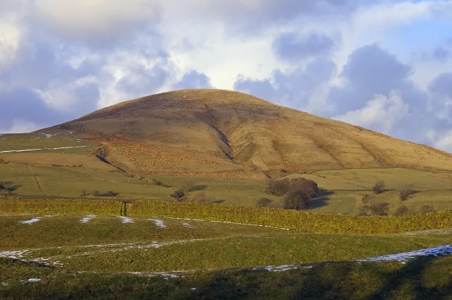
Parlick
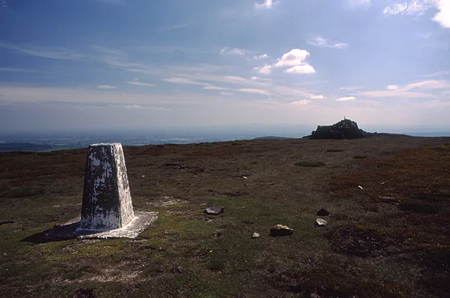
Parlick — Named summit at 432 m.

Wikimedia Commons contributors — see linked file page for photographer and licence licence
Plan your visit
- Typical visit
- 3 h–8 h
- Best time of year
- Late spring – early autumn (May–Oct)
- Free entry
- Dog-friendly
About
Parlick is a named summit in the United Kingdom. Wikidata describes it as: "Named summit at 432 m.". Coordinates: 53.8998°, -2.6167°.
Photo gallery
Protected designations
- Site of Special Scientific Interest: Bowland Fells SSSI
- Area of Outstanding Natural Beauty: Forest Of Bowland
Designations sourced from Natural England open data under OGL v3.
From the Wikipedia article
Parlick (also known as Parlick Pike) is an approximately cone-shaped steep-sided hill at the extreme south of the main range of Bowland fells in Lancashire, England. It has an elevation of 432 metres (1,417 ft) above sea level.
Excerpt from Wikipedia under CC BY-SA 4.0. See the source article linked in Sources below.
- Coordinates
- 53.8998, -2.6167
- County
- Lancashire
- District
- Ribble Valley
- Parish
- Chipping
- Postcode
- PR3 2WP
- Parliamentary constituency
- Ribble Valley
Sources
- osm: n29517109 (ODbL)
- wikipedia: Parlick (CC BY-SA 4.0)
- commons: Parlick - geograph.org.uk - 359497.jpg (CC BY-SA 4.0)
Other places nearby
Loading nearby places…
Nearby
 📷 5
📷 5Natural landmarks · North West England
Parlick
Parlick — mountain in the United Kingdom.
 📷 3
📷 3Archaeological sites · North West England
Bleasdale Timber Circle
Bleasdale Timber Circle — a archaeological in england-north-west, United Kingdom.
 📷 5
📷 5Natural landmarks · North West England
Fair Snape Fell
Fair Snape Fell — mountain in the United Kingdom.
 📷 5
📷 5Mountains & hills · North West England
Fair Snape Fell
Fair Snape Fell — Named summit at 520 m.
Hostels · North West England
Clark House Camping Barn
Clark House Camping Barn — a hostel in england north west.
 📷 3
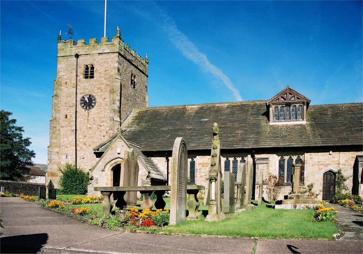
📷 3Historic churches · North West England
St Bartholomew's Church, Chipping
St Bartholomew's Church, Chipping — church in Chipping, Ribble Valley, Lancashire, England, UK.
More mountains in this region
 📷 3
📷 3Mountains & hills · North West England
Allen Crags
Allen Crags — Named summit at 785 m.
 📷 3
📷 3Mountains & hills · North West England
Alum Pot
Alum Pot — Open shaft pothole in North Yorkshire.
 📷 3
📷 3Mountains & hills · North West England
Arnside Knott
Arnside Knott — Named summit at 159 m.
 📷 3
📷 3Mountains & hills · North West England
Aye Gill Pike
Aye Gill Pike — Named summit at 556.3 m.
Frequently asked questions
- Where is Parlick?
- Parlick is in Lancashire, North-West England, United Kingdom (postcode PR3 2WP), in the parish of Chipping.
- Is Parlick a protected site?
- Yes — Parlick is part of the Bowland Fells SSSI Site of Special Scientific Interest and the Forest Of Bowland National Landscape (AONB).
- Is Parlick free to visit?
- Yes, Parlick is free to enter.
- How do I get to Parlick?
- Drivers can navigate to postcode PR3 2WP. It sits within the Ribble Valley parliamentary constituency.