Museums · North East England
Oxclose
Oxclose in England North East, United Kingdom.

Guy Barrett — CC BY-SA 2.0 via Wikimedia Commons licence
Plan your visit
- Typical visit
- 1.5 h–3 h
- Best time of year
- Year-round
- Family-friendly
- Limited wheelchair access
About
Oxclose is a place of interest in England North East, United Kingdom — drawn from open-data sources for visitor reference. See the linked Wikipedia article for the full description.
Photo gallery
From the Wikipedia article
Oxclose is an area of Washington, Tyne and Wear, England. It is located between the A1231, A182 and A195 highways, close to Sunderland, and is well served by links from the A1(M) which passes within 1 mile (1.6 km) of Oxclose's boundaries. Oxclose covers an area of approximately 0.1 square miles (300,000 m2) and has a population of around 3800 (2001 Census). There are two churches, a 'Multi-Purpose' Centre and a village centre which contains a shop, newsagents, fish and chip shop and a local pub called The Ox and Plough. It is also near to the Galleries Shopping Centre.
Excerpt from Wikipedia under CC BY-SA 4.0. See the source article linked in Sources below.
- Coordinates
- 54.8972, -1.5450
- District
- Sunderland
- Parish
- Sunderland, unparished area
- Postcode
- NE38 0LZ
- Parliamentary constituency
- Washington and Gateshead South
Sources
Other places nearby
Loading nearby places…
Nearby
📷 3Other places · North East England
Oxclose Community Academy
Oxclose Community Academy in England North East, United Kingdom.
 📷 3
📷 3Castles · North East England
Lambton
Lambton in England North East, United Kingdom.
 📷 4
📷 4Museums · North East England
Washington Galleries bus station
Washington Galleries bus station in England North East, United Kingdom.
📷 4Museums · North East England
Galleries Shopping Centre, Washington
Galleries Shopping Centre, Washington in England North East, United Kingdom.
 📷 4
📷 4Museums · North East England
Blackfell
Blackfell in England North East, United Kingdom.
 Flagship📷 4
Cathedrals · North East England
Washington and Gateshead South
Washington and Gateshead South in England North East, United Kingdom.
More museums in this region
 📷 3
📷 3Museums · North East England
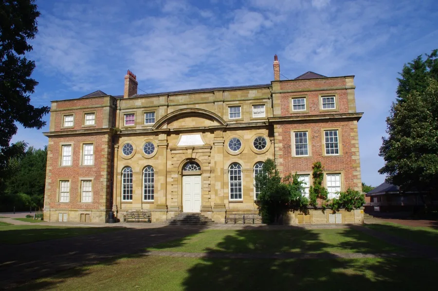
Kirkleatham Museum
Kirkleatham Museum — museum in the Tees Valley, United Kingdom.
 📷 3
📷 3Museums · North East England
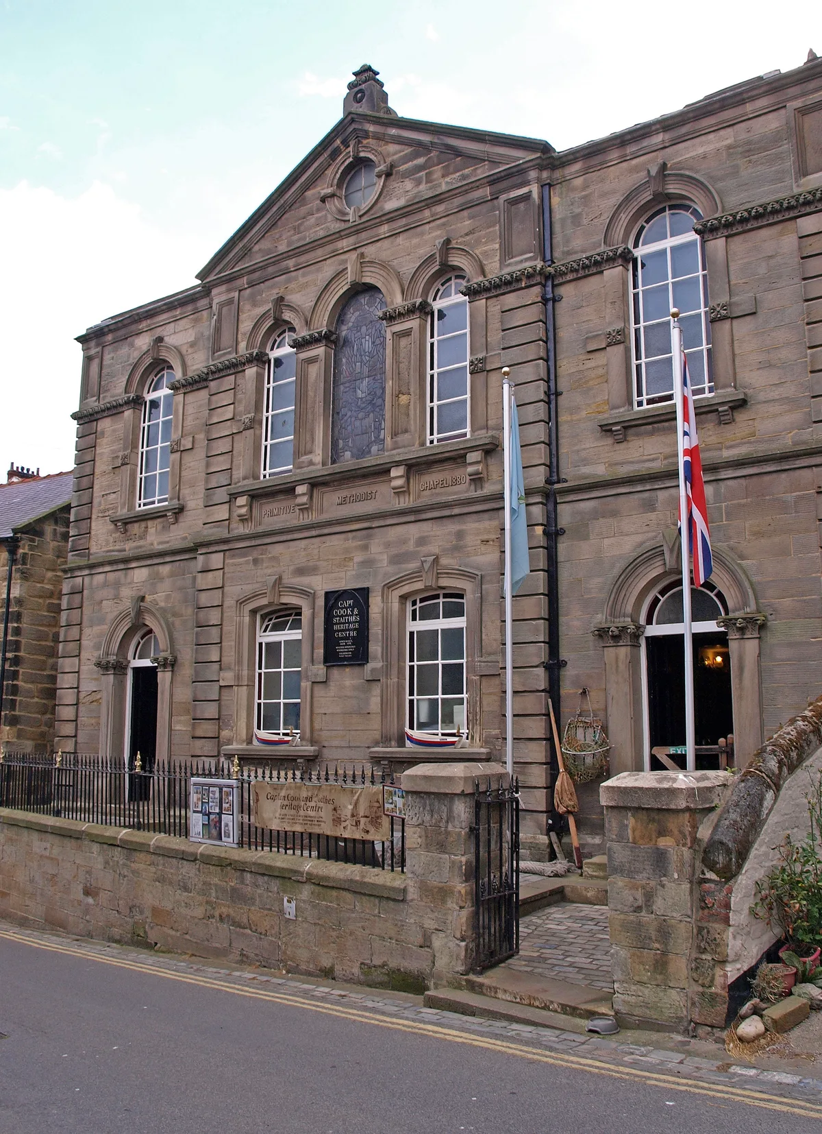
Staithes Museum
Staithes Museum — museum in Staithes, North Yorkshire, England, UK.
 📷 3
📷 3Museums · North East England
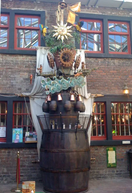
The Rum Story
The Rum Story — museum in Whitehaven, England.
 📷 4
📷 4Museums · North East England
Former Chapel School
Former Chapel School in England North East, United Kingdom.
Frequently asked questions
- Where is Oxclose?
- Oxclose is in North East England, in the United Kingdom — coordinates 54.8972°, -1.5450°.
- Is Oxclose wheelchair accessible?
- Partially — OpenStreetMap notes limited wheelchair access at Oxclose. Check ahead for specific facilities.