Historic bridges · South West England
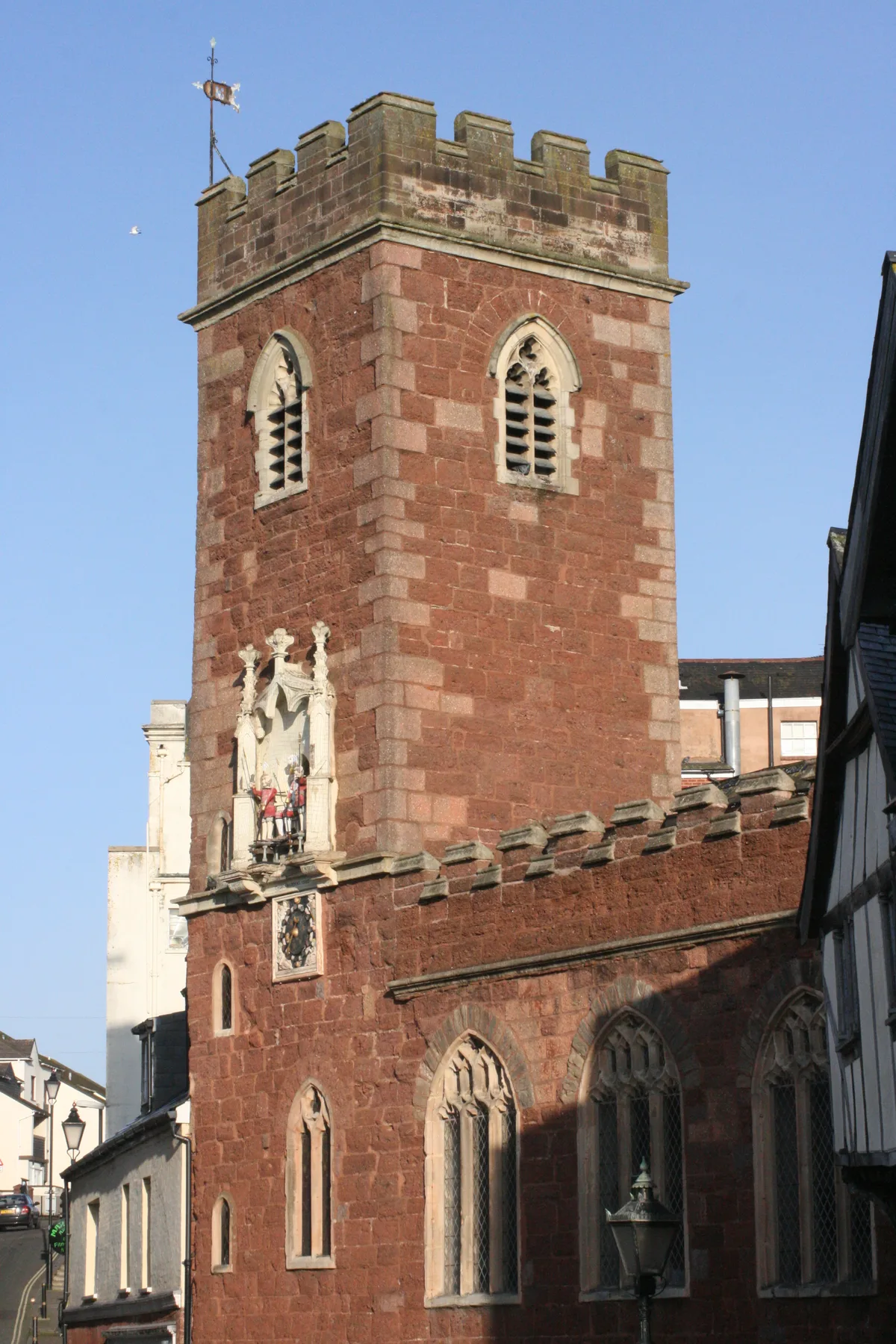
Old Exe Bridge
Old Exe Bridge is a historic bridge in the United Kingdom.

Wikimedia Commons contributors — see linked file page for photographer and licence licence
Plan your visit
- Typical visit
- 15 min–30 min
- Nearest railway station
- Exeter St Thomas · 0.3 km
- Free entry
- Dog-friendly
About
Old Exe Bridge is a named historic bridge in the United Kingdom. Coordinates: 50.7190°, -3.5360°. This entry is part of The Great Britain Guide, a free, ad-free, open-data tourist directory.
Photo gallery
Heritage listing
The Old Exe Bridge is a ruined medieval bridge in Exeter in south-western England. Construction of the bridge began in 1190, and was completed by 1214. The bridge is the oldest surviving bridge of its size in England and the oldest bridge in Britain with a chapel still on it. It replaced several rudimentary crossings which had been in use sporadically since Roman times. The project was the idea of Nicholas and Walter Gervase, father and son and influential local merchants, who travelled the country to raise funds. No known records survive of the bridge's builders. The result was a bridge at least 590 feet (180 metres) long, which probably had 17 or 18 arches, carrying the road diagonally from the west gate of the city wall across the River Exe and its wide, marshy flood plain.
From the Historic England List Entry under OGL v3.
From the Wikipedia article
The Old Exe Bridge is a ruined medieval bridge in Exeter in south-western England. Construction of the bridge began in 1190, and was completed by 1214. The bridge is the oldest surviving bridge of its size in England and the oldest bridge in Britain with a chapel still on it. It replaced several rudimentary crossings which had been in use sporadically since Roman times. The project was the idea of Nicholas and Walter Gervase, father and son and influential local merchants, who travelled the country to raise funds. No known records survive of the bridge's builders. The result was a bridge at least 590 feet (180 metres) long, which probably had 17 or 18 arches, carrying the road diagonally from the west gate of the city wall across the River Exe and its wide, marshy flood plain. St Edmund's Church, the bridge chapel, was built into the bridge at the time of its construction, and St Thomas's Church was built on the riverbank at about the same time. The Exe Bridge is unusual among British medieval bridges for having had secular buildings on it as well as the chapel. Timber-framed shops, with houses above, were in place from at least the early 14th century and, later in the bridge's life, all but the most central section carried buildings. As the river silted up, land was reclaimed, allowing a wall to be built from the side of St Edmund's which protected a row of houses and shops which became known as Frog Street. Walter Gervase also commissioned a chantry chapel, built opposite the church, which came into use after 1257 and continued until the Reformation in the mid-16th century. The medieval bridge partially collapsed and had to be rebuilt several times; the first recorded rebuilding was in 1286. By 1447 the bridge was severely dilapidated, and the mayor of Exeter appealed for funds to repair it. By the 16th century, it was again in need of repairs. Nonetheless, the bridge was in use for almost 600 years, until a replacement was built in 1778 and the arches across the…
Excerpt from Wikipedia under CC BY-SA 4.0. See the source article linked in Sources below.
Background
History
Exeter was founded as Isca Dumnoniorum by the Romans in the first century CE. It became an important administrative centre for the south west of England, but travel further west (to the remainder of Devon and the whole of Cornwall) required crossing the River Exe. At Exeter, the Exe was naturally broad and shallow, making this the lowest reliable crossing point before the river's tidal estuary. There are records of a crossing from Roman times, most likely in the form of a timber bridge. No trace of any Roman bridge survives; it is likely that, once replaced, the bridge deck was simply left to degrade and any masonry supports would have been washed away by floodwaters. Bridge building was…
Architecture
About half of the bridge's original length survives unburied—eight and a half arches over about 87 m. Another three and a half arches, spanning 25 m remain buried. The visible arches vary in span from 3.7 m to 5.7 m. Two of them form the crypt of the bridge chapel, St Edmund's Church. It spanned the river diagonally in a north-westerly direction from what is now Exeter city centre to St Thomas (now a suburb of Exeter but originally outside the city), terminating outside St Thomas's Church, which was built at around the same time. The bridge was 5 m wide on average. The roadway on the bridge was about 12 ft wide between the parapets at its peak, wide enough for two carts to pass side by…
Sourced from Wikipedia under CC BY-SA 4.0.
- Coordinates
- 50.7190, -3.5360
- County
- Devon
- District
- Exeter
- Parish
- Exeter, unparished area
- Postcode
- EX4 3DB
- Parliamentary constituency
- Exeter
- Nearest railway station
- Exeter St Thomas — 0.3 km
- Opening
- pre-1214
Sources
- osm: w1023106911 (ODbL)
- wikipedia: Old Exe Bridge (CC BY-SA 4.0)
- commons: Old Exe Bridge, Exeter 04.jpg (CC BY-SA 4.0)
Featured in these 2 guides
Other places nearby
Loading nearby places…
Nearby
 📷 3
📷 3Historic bridges · South West England
Exe Bridge Balustrades And Arch
Exe Bridge Balustrades And Arch — Grade II listed building-listed bridge in england-south-west, United Kingdom.
 📷 5
📷 5Gardens · South West England
24, West Street
24, West Street — a garden in england-south-west, United Kingdom.
 📷 5
📷 5Historic churches · South West England
Church of St Mary Steps
Church of St Mary Steps — Grade I listed church in Exeter, Devon, England, UK.
_03.jpg?width=1200) 📷 5
📷 5Historic houses · South West England
Old Tudor House Tiddy House
Old Tudor House Tiddy House — house in Exeter, Devon, England, UK.
 📷 3
📷 3Theatres · South West England
Exeter Picturehouse
Exeter Picturehouse in England South West, United Kingdom.
 📷 5
📷 5Watermills · South West England
Cricklepit Mill
Cricklepit Mill is a watermill in the United Kingdom.
More bridges in this region
 📷 5
📷 5Historic bridges · South West England
Albert Road Viaduct
Albert Road Viaduct is a historic bridge in the United Kingdom.
 📷 5
📷 5Historic bridges · South West England
Angarrack Viaduct
Angarrack Viaduct is a historic bridge in the United Kingdom.
 📷 5
📷 5Historic bridges · South West England
Avon Bridge
Avon Bridge is a historic bridge in the United Kingdom.
 📷 5
📷 5Historic bridges · South West England
Bailey Bridge
Bailey Bridge is a historic bridge in the United Kingdom.
Frequently asked questions
- Where is Old Exe Bridge?
- Old Exe Bridge is in Devon, South-West England, United Kingdom (postcode EX4 3DB), in the parish of Exeter, unparished area.
- Is Old Exe Bridge a listed building?
- Old Exe Bridge is officially recognised as scheduled monument listed.
- Is Old Exe Bridge free to visit?
- Yes, Old Exe Bridge is free to enter.
- How do I get to Old Exe Bridge?
- The nearest railway station is Exeter St Thomas, about 0.3 km away. Drivers can navigate to postcode EX4 3DB.