Towns & cities · South East England
Odiham
Odiham — village and civil parish in Hampshire, England, UK.

Wikimedia Commons contributors — see linked file page for photographer and licence licence
Plan your visit
- Typical visit
- 3 h–6 h
- Nearest railway station
- Hook · 3.9 km
- Free entry
- Family-friendly
- Dog-friendly
About
Odiham is a town, city, village or settlement in the United Kingdom. Recent population estimates put it at around 4,959 people. Address: RG29. Wikidata describes it as: "village and civil parish in Hampshire, England, UK". Coordinates: 51.2457°, -0.9478°.
Photo gallery
From the Wikipedia article
Odiham ( ) is a large historic village and civil parish in the Hart district of Hampshire, England. It has been twinned with Sourdeval in the Manche Department of France since 1993. The 2011 population was 4,406. The parish in 1851 had an area of 7,354 acres with 50 acres covered by water. The nearest railway station is at Hook, on the South West main line. The village had its own hundred, named The Hundred of Odiham. The village is situated slightly south of the M3 motorway and approximately midway between the north Hampshire towns of Fleet and Basingstoke, some 37 miles (59.5 km) north-northeast of Southampton and 43 miles (69 km) southwest of London. RAF Odiham, home of the Royal Air Force's Chinook heavy lift helicopter fleet, lies to the south of the village.
Excerpt from Wikipedia under CC BY-SA 4.0. See the source article linked in Sources below.
Background
History
The first written record of Odiham's existence is in the Domesday Book (1086), where it appears with its current spelling, although the spellings Odiam and Wudiham have sometimes been used since.
Sourced from Wikipedia under CC BY-SA 4.0.
- Coordinates
- 51.2457, -0.9478
- County
- Hampshire
- District
- Hart
- Parish
- Odiham
- Postcode
- RG29
- Parliamentary constituency
- North East Hampshire
- Population
- 4,959
- Nearest railway station
- Hook — 3.9 km
- Official site
- www.odiham.org.uk
Sources
- wikidata: Q928816 (CC0)
- wikipedia: Odiham (CC BY-SA 4.0)
- commons: High Street, Odiham - geograph.org.uk - 956256.jpg (CC BY-SA 4.0)
Other places nearby
Loading nearby places…
Nearby
 📷 5
📷 5Museums · South East England
The Pest House
The Pest House — a museum in england-south-east, United Kingdom.
 📷 5
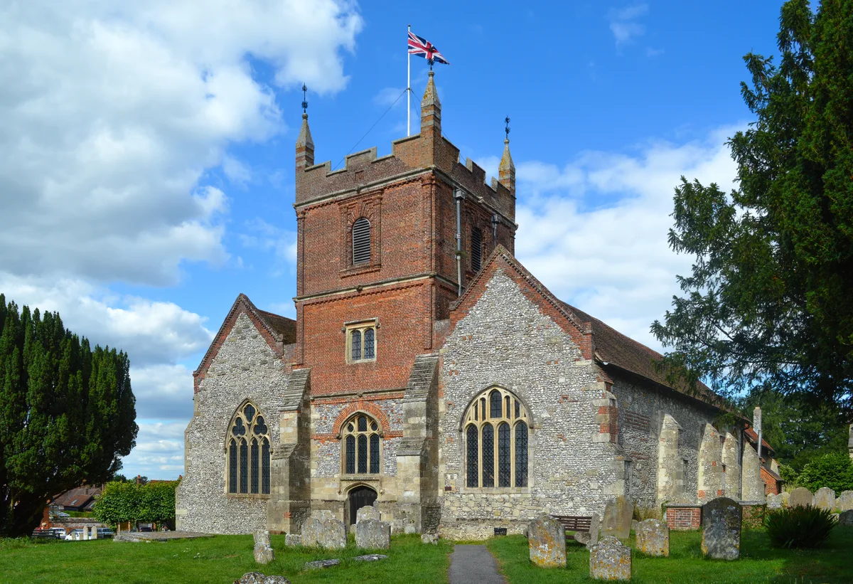
📷 5Historic churches · South East England
All Saints Church
All Saints Church — Anglican church in Odiham.
.jpg?width=1200) 📷 5
📷 5Historic houses · South East England
The Old House
The Old House — house in Odiham, Hart, England, UK.
 📷 5
📷 5Memorials & monuments · South East England
Odiham War Memorial
Odiham War Memorial — Grade II listed building-listed memorial in england-south-east, United Kingdom.
 📷 5
📷 5Memorials & monuments · South East England
The Wallace Memorial Reserve
The Wallace Memorial Reserve — a memorial in england-south-east, United Kingdom.
 📷 5
📷 5Harbours & ports · South East England
Colt Hill Wharf
Colt Hill Wharf is a harbour in the United Kingdom.
More towns in this region
 Flagship📷 10
Towns & cities · South East England
Aldermaston
Aldermaston — village and civil parish in West Berkshire in England, UK.
 Flagship📷 10
Towns & cities · South East England
Aldingbourne
Aldingbourne — village and civil parish in Arun, West Sussex, UK.
 Flagship📷 10
Towns & cities · South East England
Aldington
Aldington — village and civil parish in the Ashford District of Kent, England.
 Flagship📷 10
Towns & cities · South East England
Aldworth
Aldworth — village and civil parish in the English county of Berkshire.
Frequently asked questions
- Where is Odiham?
- Odiham is in Hampshire, South-East England, United Kingdom (postcode RG29), in the parish of Odiham.
- Is Odiham free to visit?
- Yes, Odiham is free to enter.
- How do I get to Odiham?
- The nearest railway station is Hook, about 3.9 km away. Drivers can navigate to postcode RG29.