Historic churches · East Midlands
Nottinghamshire
Also known as: Swydd Nottingham
Nottinghamshire (; abbreviated Notts.) is a ceremonial county in the East Midlands of England. The county is bordered by South Yorkshire to the north-west, Lincolnshire to the east, Leicestershire to

JThomas — CC BY-SA 2.0 via Wikimedia Commons licence
Plan your visit
- Typical visit
- 30 min–1 h
- Free entry
About
Nottinghamshire (; abbreviated Notts.) is a ceremonial county in the East Midlands of England. The county is bordered by South Yorkshire to the north-west, Lincolnshire to the east, Leicestershire to the south, and Derbyshire to the west. The largest settlement is the city of Nottingham. The county has an area of 2,160 km2 (830 sq mi) and had an estimated population of 1,188,090 in 2024. Nottingham is in the south-west of the county, which is the most densely populated area. Other settlements include Worksop in the north-east, Newark-on-Trent in the east, and Mansfield in the west. For local government purposes Nottinghamshire comprises a non-metropolitan county, with seven districts, and the Nottingham unitary authority area. The East Midlands Combined County Authority includes Nottinghamshire County Council and Nottingham City Council. The geography of Nottinghamshire is largely defined by the River Trent, which forms a wide valley which crosses the county from the south-west to the north-east. North of this, in the centre of the county, is Sherwood Forest, the remnant of a large ancient woodland.
Photo gallery
From the Wikipedia article
Nottinghamshire (; abbreviated Notts.) is a ceremonial county in the East Midlands of England. The county is bordered by South Yorkshire to the north-west, Lincolnshire to the east, Leicestershire to the south, and Derbyshire to the west. The largest settlement is the city of Nottingham. The county has an area of 2,160 km2 (830 sq mi) and had an estimated population of 1,188,090 in 2024. Nottingham is in the south-west of the county, which is the most densely populated area. Other settlements include Worksop in the north-east, Newark-on-Trent in the east, and Mansfield in the west. For local government purposes Nottinghamshire comprises a non-metropolitan county, with seven districts, and the Nottingham unitary authority area. The East Midlands Combined County Authority includes Nottinghamshire County Council and Nottingham City Council. The geography of Nottinghamshire is largely defined by the River Trent, which forms a wide valley which crosses the county from the south-west to the north-east. North of this, in the centre of the county, is Sherwood Forest, the remnant of a large ancient woodland.
Excerpt from Wikipedia under CC BY-SA 4.0. See the source article linked in Sources below.
Background
History
Nottinghamshire lies on the Roman Fosse Way, and there are Roman settlements in the county; for example at Mansfield, and forts such as at the Broxtowe Estate in Bilborough. The county was settled by Angles around the 5th century, and became part of the Kingdom, and later Earldom, of Mercia. However, there is evidence of Saxon settlement at the Broxtowe Estate, Oxton, near Nottingham, and Tuxford, east of Sherwood Forest. The name first occurs in 1016, but until 1568, the county was administratively united with Derbyshire, under a single Sheriff. In Norman times, the county developed malting and woollen industries. The village of Edwinstowe close to Sherwood Forest took the name from Edwin…
Sourced from Wikipedia under CC BY-SA 4.0.
- Coordinates
- 53.0000, -1.0000
- County
- Nottinghamshire
- District
- Newark and Sherwood
- Parish
- Gunthorpe
- Postcode
- NG14 7EQ
- Parliamentary constituency
- Sherwood Forest
Sources
- wikipedia: Nottinghamshire (CC BY-SA 4.0)
Other places nearby
Loading nearby places…
Nearby
 📷 4
📷 4Heritage railway stations · East Midlands
Lowdham railway station
Lowdham railway station — a Grade II*-listed railway station in england-east-midlands, United Kingdom.
 📷 3
📷 3Memorials & monuments · East Midlands
Lowdham War Memorial
Lowdham War Memorial — Grade II listed building-listed memorial in england-east-midlands, United Kingdom.
📷 5Castles · East Midlands
Lowdham
Lowdham — a castle in england-east-midlands, United Kingdom.
 📷 3
📷 3Historic churches · East Midlands
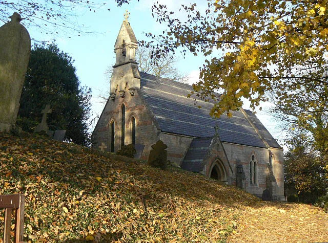
St Aidan's Church, Caythorpe
St Aidan's Church, Caythorpe — church in Caythorpe, Newark and Sherwood, Nottinghamshire, England, UK.
 📷 3
📷 3Historic churches · East Midlands
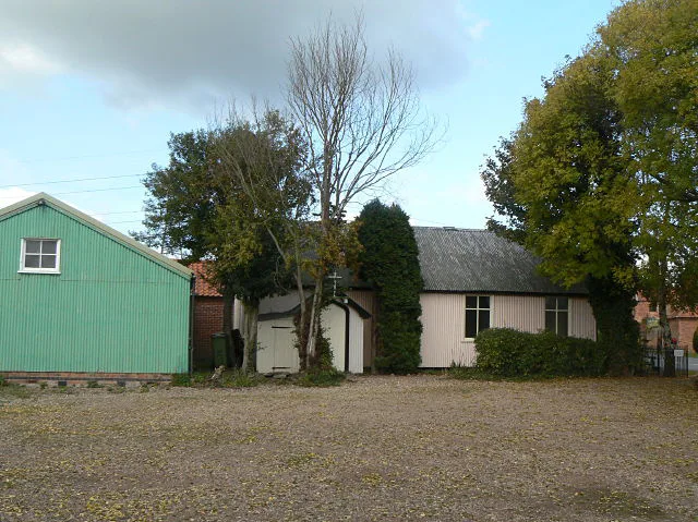
Holy Trinity Church, Bulcote
Holy Trinity Church, Bulcote — grade II listed church in Bulcote, Newark and Sherwood, Nottinghamshire, England, UK.
Caravan parks · East Midlands
Riverdale Caravan Park
Riverdale Caravan Park — a caravan park in england east midlands.
More places in this region
 📷 3
📷 3Historic churches · East Midlands
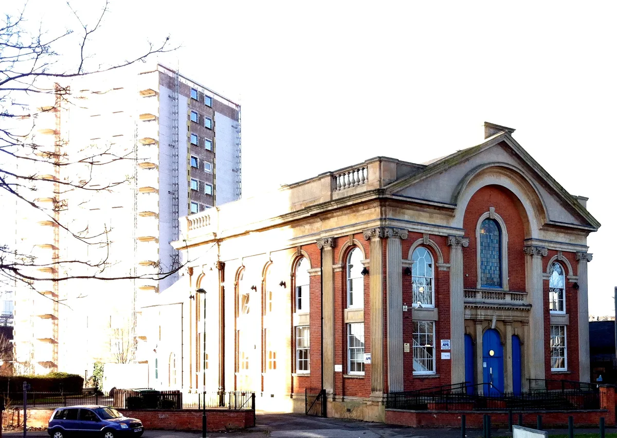
Addison Street Congregational Church
Addison Street Congregational Church — church in United Kingdom.
 📷 3
📷 3Historic churches · East Midlands
Albion Congregational Church
Albion Congregational Church — church building in Nottingham, Nottinghamshire, England, UK.
 📷 3
📷 3Historic churches · East Midlands
All Hallows' Church, Ordsall
All Hallows' Church, Ordsall — Grade I listed church in Bassetlaw, Nottinghamshire, England, UK.
 📷 3
📷 3Historic churches · East Midlands
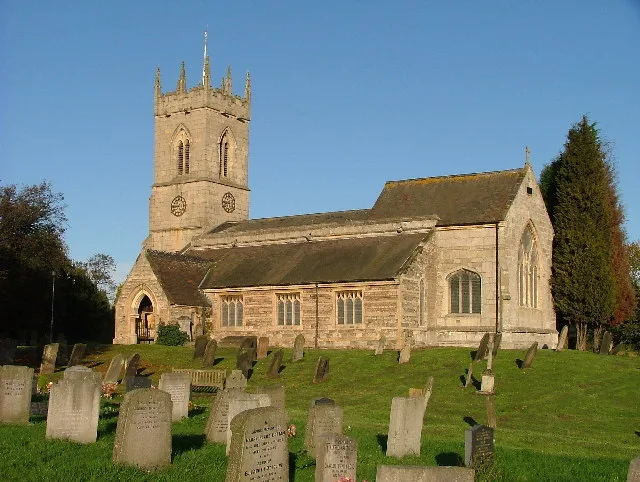
All Saints Church
All Saints Church — church in Barrowby, Lincolnshire, England, UK.
Frequently asked questions
- Where is Nottinghamshire?
- Nottinghamshire is in Nottinghamshire, the East Midlands, United Kingdom (postcode NG14 7EQ), in the parish of Gunthorpe.
- Is Nottinghamshire free to visit?
- Yes, Nottinghamshire is free to enter.
- How do I get to Nottinghamshire?
- Drivers can navigate to postcode NG14 7EQ. It sits within the Sherwood Forest parliamentary constituency.