Other places · East of England
Norwich Market
Norwich Market is a place of interest in the United Kingdom.

Wikimedia Commons contributors — see linked file page for photographer and licence licence
Plan your visit
- Typical visit
- 1 h–2 h
- Nearest railway station
- Norwich · 1.0 km
- Wheelchair accessible
About
Norwich Market is a place of interest in the United Kingdom. Address: Gentlemans Walk, Norwich. Wheelchair accessible (per OpenStreetMap). Coordinates: 52.6284°, 1.2929°.
Photo gallery
From the Wikipedia article
Norwich Market (also known as Norwich Provision Market) is an outdoor market consisting of around 200 stalls in central Norwich, England. Founded in the latter part of the 11th century to supply Norman merchants and settlers moving to the area following the Norman conquest of England, it replaced an earlier market a short distance away. It has been in operation on the present site for over 900 years. By the 14th century, Norwich was one of the largest and most prosperous cities in England, and Norwich Market was a major trading hub. Control of, and income from, the market was ceded by the monarchy to the city of Norwich in 1341, from which time it provided a significant source of income for the local council. Freed from royal control, the market was reorganised to benefit the city as much as possible. Norwich and the surrounding region were devastated by plague and famine in the latter half of the 14th century, with the population falling by over 50%. Following the plague years, Norwich came under the control of local merchants and the economy was rebuilt. In the early 15th century, a Guildhall was built next to the market to serve as a centre for local government and law enforcement. The largest surviving mediaeval civic building in Britain outside London, it remained the seat of local government until 1938 and in use as a law court until 1985. In the Georgian era, Norwich became an increasingly popular destination with travellers and developed into a fashionable shopping town. Buildings around the market were developed into luxury shops and coaching inns. The eastern side of the market was particularly fashionable and became known as Gentleman's Walk. The area around the market had become very congested by the 19th century, but the council was unable to raise funds for improvement and few alterations were made. Because many of the market's stalls were privately owned, the council was unable to rearrange the market into a more rational layout. Following the First…
Excerpt from Wikipedia under CC BY-SA 4.0. See the source article linked in Sources below.
Background
History
The county town of Norfolk, Norwich is a city on the River Wensum in the East of England. Its origins are unclear, but by the reign of King Æthelstan (924–939) the city was a major trading centre and one of the most important boroughs in England. The Anglo-Saxon settlement was centred around Tombland, a large open space at the point where the roads into Norwich converged. The plain of Tombland was the site of Norwich's market. Following the Norman conquest of England (1066–1071), Norwich was radically redesigned. Norwich Cathedral was built immediately to the east of Tombland and much of the old town to the southwest of Tombland was cleared for the motte of Norwich Castle. A new Norman town…
Architecture
The market had by this time taken on roughly the layout it retains today. It was a long rectangular open space aligned north–south, with the tollhouse (the Guildhall after 1413) marking the northern end and the very large church of St Peter Mancroft marking the southern end. (St Peter Mancroft was built in 1430–1455 incorporating an earlier church built in 1075 and was financed by the market's merchants. It retains its association with the market; all stallholders retain the right to hold their weddings in the church and to be buried in the churchyard.) The marketplace sloped downwards from west to east. A long straight passageway called the Nethererowe or Nether Row (later renamed…
Sourced from Wikipedia under CC BY-SA 4.0.
- Coordinates
- 52.6284, 1.2929
- County
- Norfolk
- District
- Norwich
- Parish
- Norwich, unparished area
- Postcode
- NR2 1ND
- Parliamentary constituency
- Norwich South
- Phone
- +44 1603 213537
- Nearest railway station
- Norwich — 1 km
- Official site
- www.norwich.gov.uk
Sources
- osm: w27303588 (ODbL)
- wikipedia: Norwich Market (CC BY-SA 4.0)
- commons: Norwich City Market - geograph.org.uk - 1259414.jpg (CC BY-SA 4.0)
Other places nearby
Loading nearby places…
Nearby
 Flagship📷 3
Towns & cities · East of England
Norwich
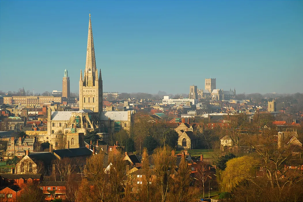
Norwich — city in Norfolk, England.
 📷 3
📷 3Galleries · East of England
The Undercroft
The Undercroft — a gallery in england-east, United Kingdom.
 📷 5
📷 5Memorials & monuments · East of England
Norwich War Memorial
Norwich War Memorial is a memorial in the United Kingdom.
 📷 3
📷 3Memorials & monuments · East of England
Norwich Roll of Honour
Norwich Roll of Honour — a memorial in england-east, United Kingdom.
Cafés · East of England
Gong Cha
Gong Cha — a café in england east.
 📷 3
📷 3Public art & sculpture · East of England
City coat of arms mosaic
City coat of arms mosaic — a public art in england-east, United Kingdom.
More places in this region
 📷 3
📷 3Other places · East of England
A120 Ghost Tree
A120 Ghost Tree — Public artwork by Clive Wakeford.
 📷 3
📷 3Other places · East of England
Broomhill Pool
Broomhill Pool — Outdoor swimming pool / lido.
 📷 3
📷 3Other places · East of England
Freethorpe Village Sign
Freethorpe Village Sign — Public artwork (woodcarving) by Suzanne Burman.
 📷 3
📷 3Other places · East of England
Giles Family
Giles Family — Public artwork (statue) by Miles Robinson.
Frequently asked questions
- Where is Norwich Market?
- Norwich Market is in East of England, in the United Kingdom — coordinates 52.6284°, 1.2929°. The nearest railway station is Norwich, around 1 km away.
- Is Norwich Market wheelchair accessible?
- Yes — Norwich Market is tagged in OpenStreetMap as wheelchair-accessible.