Forts · West Midlands
Northampton 1460
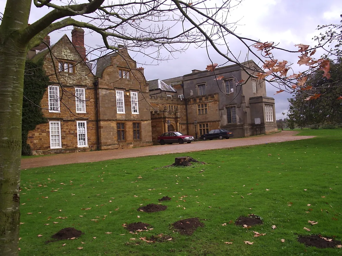
Northampton 1460 is a fort in the United Kingdom.

Burgess Von Thunen — CC BY-SA 2.0 via Wikimedia Commons licence
Plan your visit
- Typical visit
- 45 min–1.5 h
- Nearest railway station
- Northampton · 1.7 km
About
Northampton 1460 is a historic fort or fortified site in the United Kingdom. Coordinates: 52.2284°, -0.8866°. This entry is part of The Great Britain Guide, a free, ad-free, open-data tourist directory.
Photo gallery
Place summary
Northampton 1460 is a historical fort located in the West Midlands, within the parishes of Far Cotton and Delapre. It is notable for its significance during the Wars of the Roses.
AI-generated from the structured facts on this page (operator, designation, listing, era). Not a substitute for visiting.
- Coordinates
- 52.2284, -0.8866
- District
- West Northamptonshire
- Parish
- Far Cotton and Delapre
- Postcode
- NN1 5PA
- Parliamentary constituency
- Northampton South
- Nearest railway station
- Northampton — 1.7 km
Sources
- osm: n5844218636 (ODbL)
Other places nearby
Loading nearby places…
Nearby
 📷 3
📷 3Public art & sculpture · West Midlands
Geometry and Stone
Geometry and Stone — a public art in england-west-midlands, United Kingdom.
📷 3Public art & sculpture · West Midlands
The Guardians II
The Guardians II — a public art in england-west-midlands, United Kingdom.
 📷 3
📷 3Public art & sculpture · West Midlands
Woman and the Fish
Woman and the Fish — a public art in england-west-midlands, United Kingdom.
 📷 3
📷 3Memorials & monuments · West Midlands
Nunn Mills
Nunn Mills — a memorial in england-west-midlands, United Kingdom.
Flagship📷 5Cathedrals · South East England
Delapré Abbey
Delapré Abbey is a cathedral in the United Kingdom.
 Flagship📷 4
Abbeys & priories · West Midlands
Delapré Abbey
Delapré Abbey — abbey and hamlet in Northampton, UK.
More forts in this region
 📷 3
📷 3Forts · West Midlands
Battle of Birmingham (Camp Hill) 1643
Battle of Birmingham (Camp Hill) 1643 — Battlefield site, dating to 1643-04-03.
 📷 3
📷 3Forts · West Midlands
Battle of Blore Heath (A.D. 1459)
Battle of Blore Heath (A.D. 1459) is a fort in the United Kingdom.
 📷 5
📷 5Forts · West Midlands
Battle of Bosworth 1485
Battle of Bosworth 1485 is a fort in the United Kingdom.
 📷 3
📷 3Forts · West Midlands
Battle of Chalgrove Field
Battle of Chalgrove Field — Battlefield site, dating to 1643-06-18.
Frequently asked questions
- Where is Northampton 1460?
- Northampton 1460 is in West Midlands, in the United Kingdom — coordinates 52.2284°, -0.8866°. The nearest railway station is Northampton, around 1.7 km away.