Mountains & hills · West Midlands
Nibley Knoll
Nibley Knoll — Named summit at 203 m.

Wikimedia Commons contributors — see linked file page for photographer and licence licence
Plan your visit
- Typical visit
- 3 h–8 h
- Best time of year
- Late spring – early autumn (May–Oct)
- Nearest railway station
- Cam and Dursley · 6.6 km
- Free entry
- Dog-friendly
About
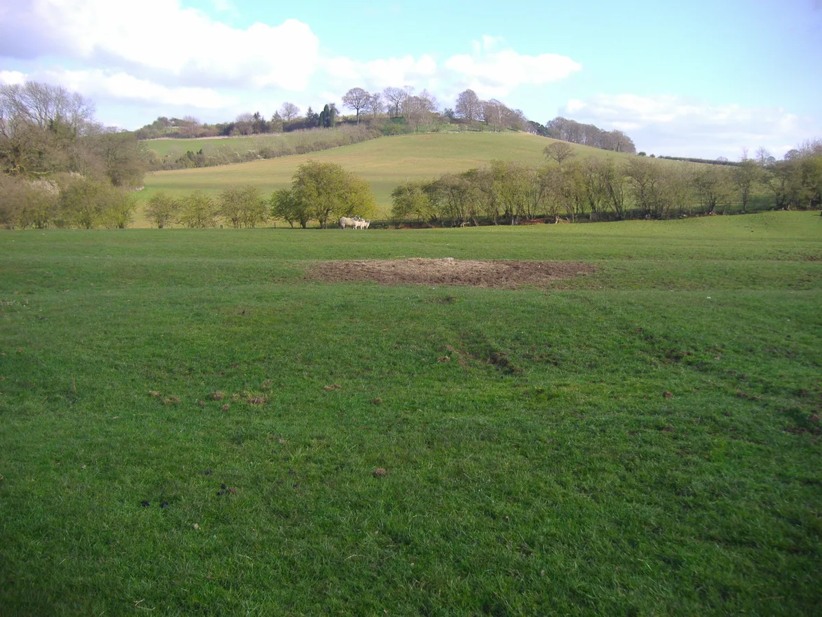
Nibley Knoll is a named summit in the United Kingdom. Wikidata describes it as: "Named summit at 203 m.". Coordinates: 51.6586°, -2.3706°.
Photo gallery
Protected designations
- Area of Outstanding Natural Beauty: Cotswolds
Designations sourced from Natural England open data under OGL v3.
From the Wikipedia article
Nibley Knoll (grid reference ST744956) is a 3.2-hectare (7.9-acre) geological Site of Special Scientific Interest in Gloucestershire, notified in 1974. The site is listed in the ‘Stroud District’ Local Plan, adopted November 2005, Appendix 6 (online for download) as an SSSI and a Regionally Important Geological Site (RIGS).
Excerpt from Wikipedia under CC BY-SA 4.0. See the source article linked in Sources below.
- Coordinates
- 51.6586, -2.3706
- County
- Gloucestershire
- District
- Stroud
- Parish
- North Nibley
- Postcode
- GL11 6DX
- Parliamentary constituency
- Stroud
- Nearest railway station
- Cam and Dursley — 6.6 km
Sources
- osm: n602385092 (ODbL)
- wikipedia: Nibley Knoll (CC BY-SA 4.0)
- commons: Sheep on Nibley Knoll - geograph.org.uk - 1654030.jpg (CC BY-SA 4.0)
Other places nearby
Loading nearby places…
Nearby
 📷 5
📷 5Memorials & monuments · West Midlands
Tyndale Monument
Tyndale Monument is a memorial in the United Kingdom.
.jpg?width=1200) 📷 3
📷 3Historic houses · West Midlands
Nibley House
Nibley House — house of historical significance in North Nibley, Gloucestershire, England, UK.
 📷 3
📷 3Manor houses · West Midlands
Pitt Court Manor
Pitt Court Manor — Grade II listed building-listed manor in england-west-midlands, United Kingdom.
 📷 3
📷 3Hill forts · West Midlands
Brackenbury Ditches Hillfort
Brackenbury Ditches Hillfort — a hill fort in england-west-midlands, United Kingdom.
Vineyards · West Midlands
Brackenbury camp
Brackenbury camp — a UK vineyard in england west midlands, producing English or Welsh wine from cool-climate grape varieties.
 📷 3
📷 3Memorials & monuments · West Midlands
Unidentified Monument In The Churchyard Approximately 7 Metres North Of Vestry To Church Of St Martin
Unidentified Monument In The Churchyard Approximately 7 Metres North Of Vestry To Church Of St Martin — Grade II* listed building-listed memorial in england-west-midlands, United Kingdom.
More mountains in this region
 📷 5
📷 5Mountains & hills · West Midlands
Arbury Hill
Arbury Hill — Named summit at 224.3 m.
Mountains & hills · West Midlands
Barr Beacon
Barr Beacon — Named summit at 227 m.
 📷 3
📷 3Mountains & hills · West Midlands
Barrow Hill
Barrow Hill — Named summit at 179 m.
Mountains & hills · West Midlands
Beacon Hill
Beacon Hill — Named summit at 237 m.
Frequently asked questions
- Where is Nibley Knoll?
- Nibley Knoll is in Gloucestershire, the West Midlands, United Kingdom (postcode GL11 6DX), in the parish of North Nibley.
- Is Nibley Knoll a protected site?
- Yes — Nibley Knoll is part of the Cotswolds National Landscape (AONB).
- Is Nibley Knoll free to visit?
- Yes, Nibley Knoll is free to enter.
- How do I get to Nibley Knoll?
- The nearest railway station is Cam and Dursley, about 6.6 km away. Drivers can navigate to postcode GL11 6DX.