Natural landmarks · North Wales
Mynydd Tarw
Mynydd Tarw — mountain (679.4m) in Powys.

Wikimedia Commons contributors — see linked file page for photographer and licence licence
Plan your visit
- Typical visit
- 1 h–2 h
- Free entry
- Dog-friendly
About
Mynydd Tarw is a named natural landmark in the United Kingdom. Part of Berwyn range. Wikidata describes it as: "mountain (679.4m) in Powys". Coordinates: 52.8821°, -3.3201°.
Photo gallery
From the Wikipedia article
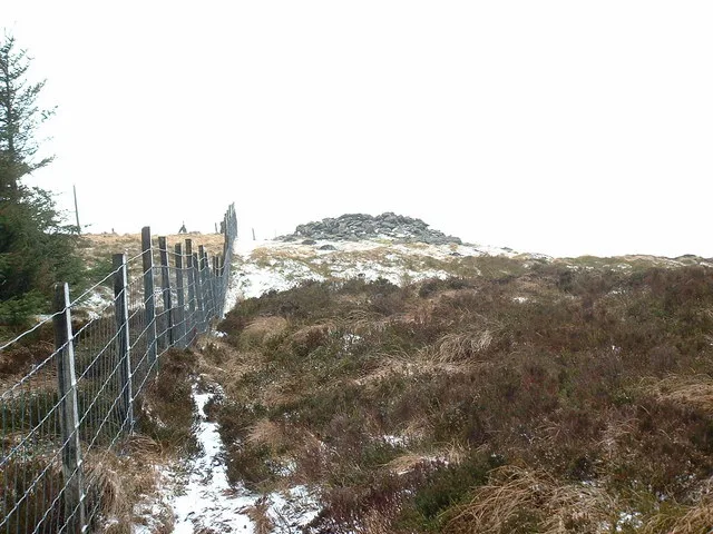
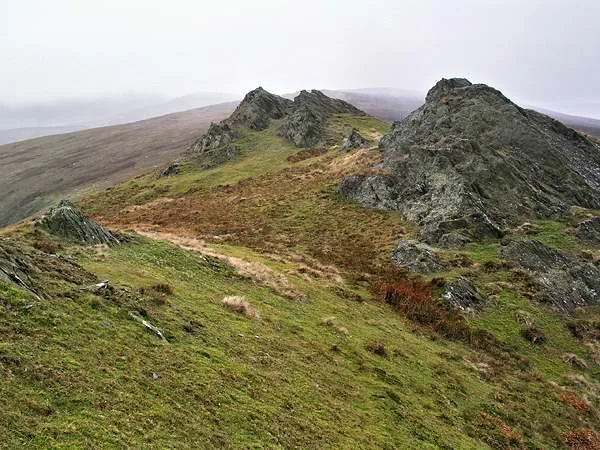
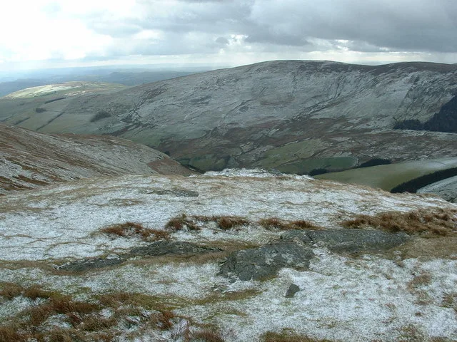
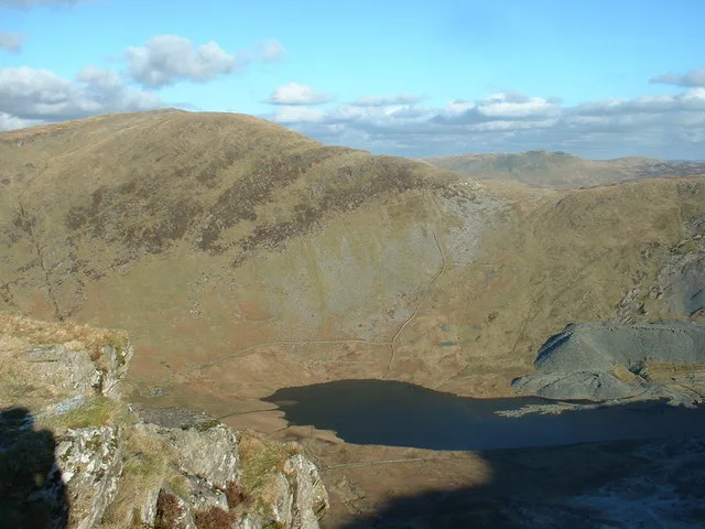
Mynydd Tarw (pronounced [ˈmənɨð ˈtaru]) is a subsidiary summit of Cadair Berwyn in north east Wales. It used to have a top: Rhos which has now been deleted as a Nuttall. The summit has a large shelter cairn. The views are extensive, with the lower; northern and western Berwyns visible, including Pen Bwlch Llandrillo. Cadair Berwyn, Godor, Moel yr Ewig and Foel Wen are also in view.
Excerpt from Wikipedia under CC BY-SA 4.0. See the source article linked in Sources below.
- Coordinates
- 52.8821, -3.3201
- Address
- Denbighshire / Powys, Wales
Sources
- wikidata: Q6947871 (CC0)
- wikipedia: Mynydd Tarw (CC BY-SA 4.0)
- commons: Cairn on Mynydd Tarw - geograph.org.uk - 648576.jpg (CC BY-SA 4.0)
Other places nearby
Loading nearby places…
Nearby
 📷 3
📷 3Mountains & hills · North Wales
Mynydd Tarw
Mynydd Tarw — Named summit at 681 m.
 📷 3
📷 3Mountains & hills · North Wales
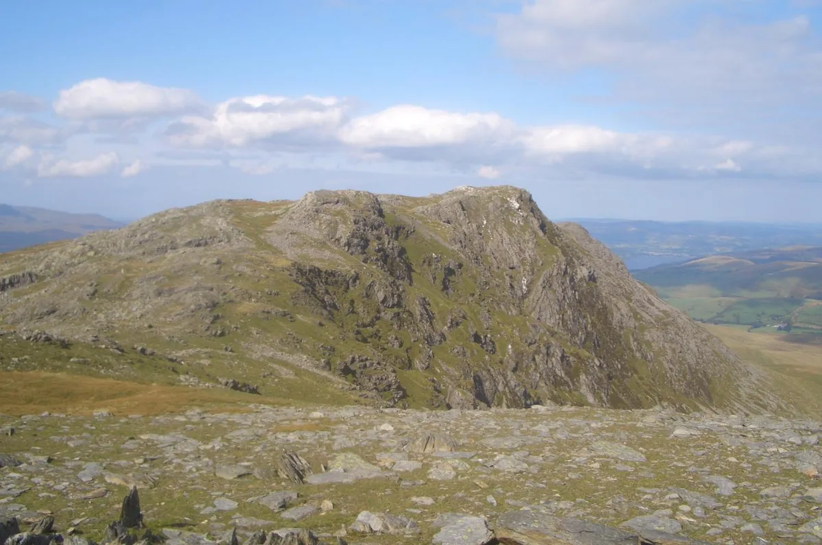
Foel Wen South Top
Foel Wen South Top — Named summit at 687 m.
 📷 3
📷 3Mountains & hills · North Wales
Rhos
Rhos — a mountain in wales-north, United Kingdom, 619 m.
 📷 3
📷 3Natural landmarks · North Wales
Foel Wen
Foel Wen — mountain (690.6m) in Powys.
 📷 3
📷 3Mountains & hills · North Wales
Foel Wen
Foel Wen — Named summit at 691 m.
 📷 3
📷 3Mountains & hills · North Wales
Godor
Godor — Named summit at 679 m.
More natural landmarks in this region
 Flagship📷 5
Natural landmarks · North Wales
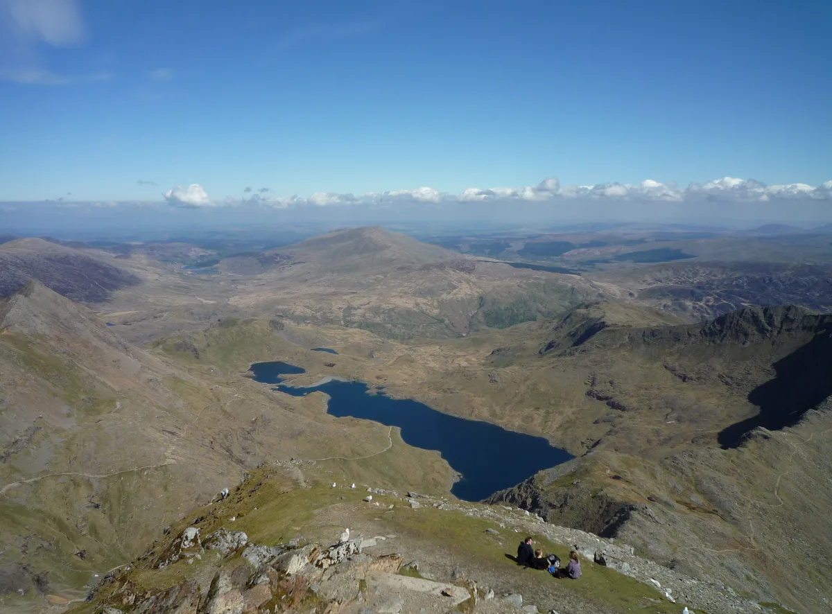
Llyn Llydaw
Llyn Llydaw is a natural landmark in the United Kingdom.
 📷 5
📷 5Natural landmarks · North Wales
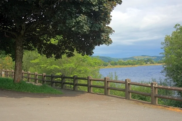
Llyn Tegid
Llyn Tegid is a natural landmark in the United Kingdom.
 📷 3
📷 3Natural landmarks · North Wales
Allt-fawr
Allt-fawr — mountain (698m) in Gwynedd, Wales.
 📷 3
📷 3Natural landmarks · North Wales
Aran Benllyn
Aran Benllyn — mountain (885m) in Gwynedd.
Frequently asked questions
- Where is Mynydd Tarw?
- Mynydd Tarw is in North Wales, in the United Kingdom — coordinates 52.8821°, -3.3201°.
- Is Mynydd Tarw free to visit?
- Yes — admission to Mynydd Tarw is free.