Natural landmarks · South Wales
Mynydd Merthyr
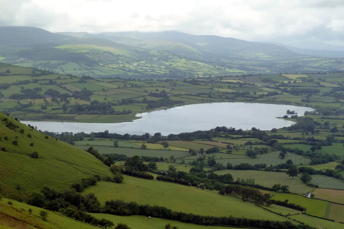
Mynydd Merthyr — mountain in south Wales, UK.

Wikimedia Commons contributors — see linked file page for photographer and licence licence
Plan your visit
- Typical visit
- 1 h–2 h
- Nearest railway station
- Troed-y-rhiw · 2.0 km
- Free entry
- Dog-friendly
About
Mynydd Merthyr is a named natural landmark in the United Kingdom. Wikidata describes it as: "mountain in south Wales, UK". Coordinates: 51.7050°, -3.3731°.
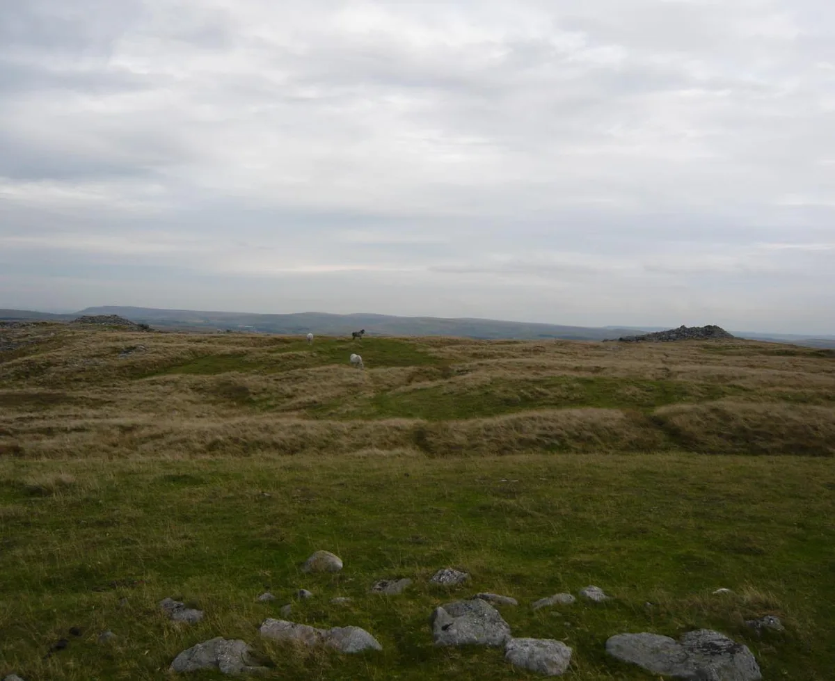
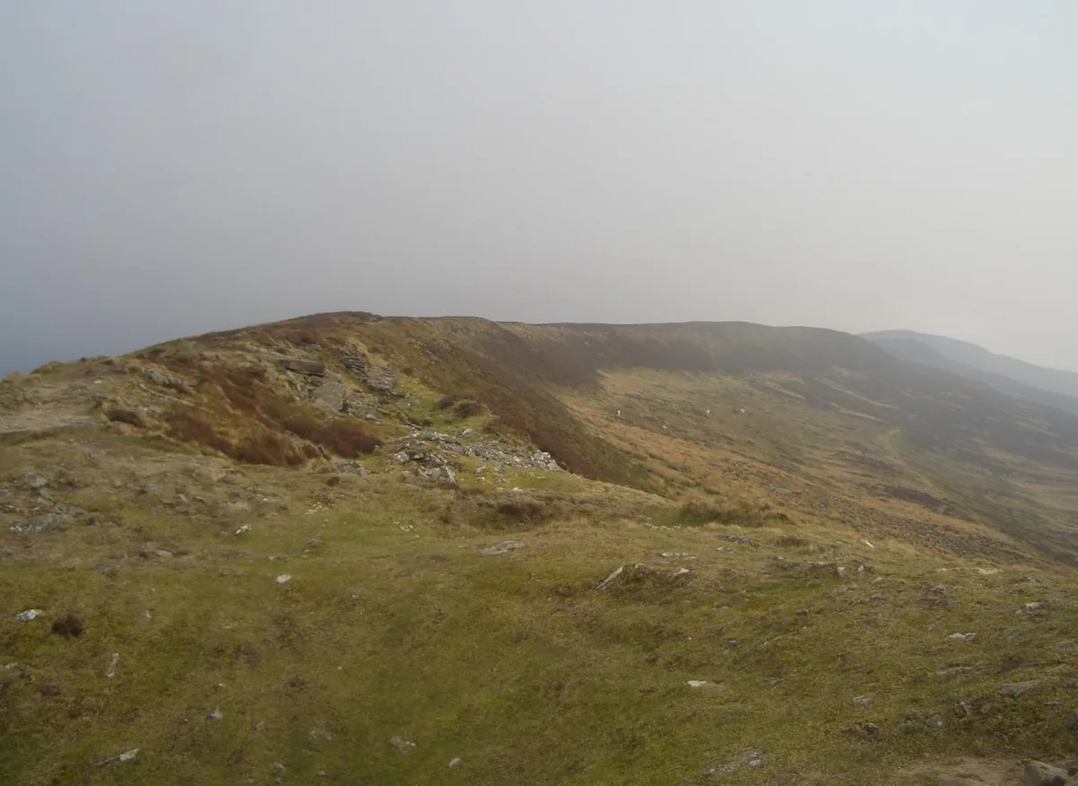
Photo gallery
From the Wikipedia article
Mynydd Merthyr is a broad ridge of high ground between Taff Vale (Welsh Cwm Taf) and the Cwm Cynon in the Valleys region of South Wales. It forms the boundary between the unitary authorities of Rhondda Cynon Taff to the west and Merthyr Tydfil to the east. The high point of 493m is at Mynydd Gethin (OS grid reference SO 044025) (though the summit trig point is at the lower height of 491m) is the culmination of a long ridge which extends northwestwards from the confluence of the Afon Cynon and the River Taff at Abercynon. The ridge includes the subsidiary summits of Twyn Brynbychan and Twyn Sych. To the northwest lies Mynydd Aberdâr. Much of the hill has been planted with coniferous forest. Its flanks are heavily scarred by mining. The village of Aberfan sits at the foot of its eastern slopes, the scene of the Aberfan disaster on 21 October 1966 when a coal tip above the village slipped and engulfed the village school killing 144 people of whom 116 were children.
Excerpt from Wikipedia under CC BY-SA 4.0. See the source article linked in Sources below.
Background
Visiting
Virtually all of the afforested areas and some adjoining areas of moorland are classed as open country under the CRoW Act giving a right of access to walkers. In addition there is a limited network of public footpaths and other public rights of way which give access to parts of the hill.
Sourced from Wikipedia under CC BY-SA 4.0.
- Coordinates
- 51.7050, -3.3731
- District
- Rhondda Cynon Taf
- Parish
- Mountain Ash East
- Postcode
- CF45 4DP
- Parliamentary constituency
- Pontypridd
- Nearest railway station
- Troed-y-rhiw — 2 km
Sources
- wikidata: Q6947865 (CC0)
- wikipedia: Mynydd Merthyr (CC BY-SA 4.0)
- commons: Mynydd Merthyr - geograph.org.uk - 994891.jpg (CC BY-SA 4.0)
Other places nearby
Loading nearby places…
Nearby
 📷 3
📷 3Mountains & hills · South Wales
Mynydd Gethin
Mynydd Gethin — a mountain in wales-south, United Kingdom, 491 m.
 📷 2
📷 2Theatres · South Wales
Workmen's Hall
Workmen's Hall in Wales South, United Kingdom.
 📷 5
📷 5Historic bridges · South Wales
Gethin Tramway Bridge
Gethin Tramway Bridge — Grade II listed building-listed bridge in wales-south, United Kingdom.
 📷 5
📷 5Memorials & monuments · South Wales
Mountain Ash War Memorial
Mountain Ash War Memorial — Grade II listed building-listed memorial in wales-south, United Kingdom.
 📷 5
📷 5Memorials & monuments · South Wales
Troed-y-rhiw War Memorial
Troed-y-rhiw War Memorial — Grade II listed building-listed memorial in wales-south, United Kingdom.
 📷 3
📷 3Memorials & monuments · South Wales
Aberfan Disaster Memorial Garden
Aberfan Disaster Memorial Garden — a memorial in wales-south, United Kingdom.
More natural landmarks in this region
 📷 3
📷 3Natural landmarks · South Wales
Llangorse Lake
Llangorse Lake — lake near Brecon, Powys, Wales, UK.
 📷 3
📷 3Natural landmarks · South Wales
Cefn yr Ystrad
Cefn yr Ystrad — mountain (619m) in Powys.
 📷 3
📷 3Natural landmarks · South Wales
Chwarel y Fan
Chwarel y Fan — mountain (679m) in Monmouthshire.
.jpg?width=1200) 📷 3
📷 3Natural landmarks · South Wales
Copper Flame
Copper Flame — Public artwork (installation) by Robin Campbell (designer), Martin Williams (sculptor), Andrew Rowe, Theo Grunewald (metal workers).
Frequently asked questions
- Where is Mynydd Merthyr?
- Mynydd Merthyr is in South Wales, United Kingdom (postcode CF45 4DP), in the parish of Mountain Ash East.
- Is Mynydd Merthyr free to visit?
- Yes, Mynydd Merthyr is free to enter.
- How do I get to Mynydd Merthyr?
- The nearest railway station is Troed-y-rhiw, about 2.0 km away. Drivers can navigate to postcode CF45 4DP.