Forests & woodlands · West Midlands
Moseley Bog
Moseley Bog is a forest or woodland in the United Kingdom.

Wikimedia Commons contributors — see linked file page for photographer and licence licence
Plan your visit
- Typical visit
- 1 h–3 h
- Nearest railway station
- Hall Green · 1.3 km
- Free entry
- Family-friendly
- Dog-friendly
About
Moseley Bog is a named forest, woodland or nature reserve in the United Kingdom. Coordinates: 52.4366°, -1.8649°. This entry is part of The Great Britain Guide, a free, ad-free, open-data tourist directory.
Photo gallery
From the Wikipedia article
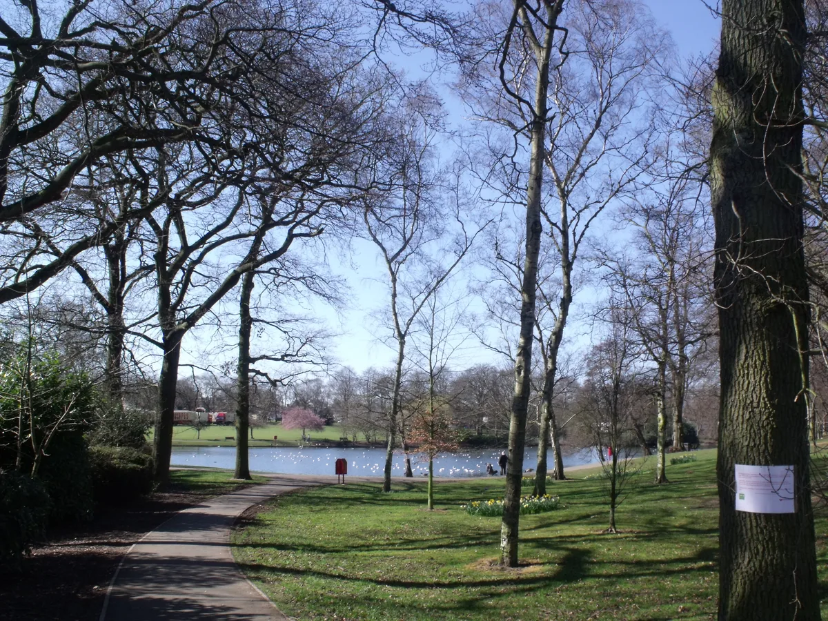
Moseley Bog and Joy's Wood Local Nature Reserve, formerly The Dell, is a Local Nature Reserve in the Moseley area of Birmingham, England, with an area of about 12 ha (29 acres). Along with the nearby Sarehole Mill, and a number of other sites, it forms part of the Shire Country Park.
Excerpt from Wikipedia under CC BY-SA 4.0. See the source article linked in Sources below.
Background
History
Evidence of human activity at Moseley Bog dates back some three thousand years, to the Bronze Age, in the form of burnt mounds on the banks of Coldbath Brook, which runs through the bog. Comprising piles of cracked stones and burnt wood, archaeologists believe them to be the remains of sweat lodges – huts, or bender tents, in which water was poured over heated stones to create a sauna, often for the purpose of spiritual purification, followed by a cold bath. The mounds and their surrounding area are Scheduled Ancient Monuments. The forested area of the bog is a surviving fragment of primeval wildwood, much of the surrounding parts of which had been cleared by the time of the Domesday Book…
Sourced from Wikipedia under CC BY-SA 4.0.
- Coordinates
- 52.4366, -1.8649
- District
- Birmingham
- Parish
- Birmingham, unparished area
- Postcode
- B13 9YF
- Parliamentary constituency
- Birmingham Hall Green and Moseley
- Nearest railway station
- Hall Green — 1.3 km
- Opening
- | website = {{URL|www.bbcwildlife.org.uk/Moseley-Bog}}
- Official site
- www.bbcwildlife.org.uk
Sources
- osm: w23795467 (ODbL)
- wikipedia: Moseley Bog (CC BY-SA 4.0)
- commons: Log-bench at Moseley bog.jpg (CC BY-SA 4.0)
Other places nearby
Loading nearby places…
Nearby
 📷 3
📷 3Memorials & monuments · West Midlands
Joy's Wood
Joy's Wood — a memorial in england-west-midlands, United Kingdom.
 📷 5
📷 5Country parks · West Midlands
Swanshurst Park
Swanshurst Park — Public park in Moseley, Birmingham, England.
 📷 3
📷 3Memorials & monuments · West Midlands
Blue Plaque: Matthew Boulton
Blue Plaque: Matthew Boulton — a memorial in england-west-midlands, United Kingdom.
 📷 3
📷 3Museums · West Midlands
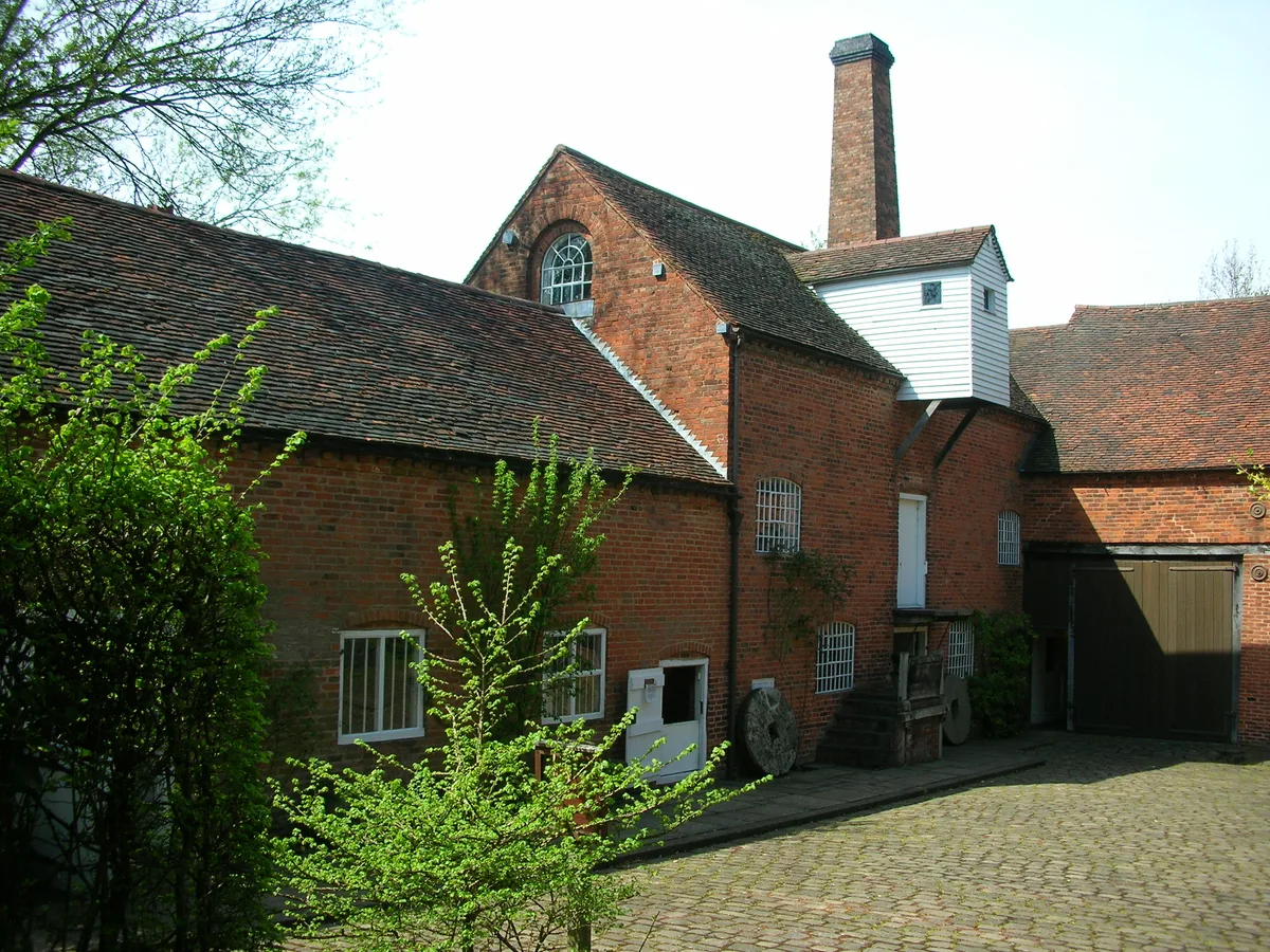
Sarehole Mill
Sarehole Mill — water mill on the River Cole in Hall Green, Birmingham, West Midlands, England, UK.
 📷 3
📷 3Parks · West Midlands
Shire Country Park
Shire Country Park — park south of Birmingham, England.
 📷 5
📷 5Historic churches · West Midlands
Jamatia Islamic Centre
Jamatia Islamic Centre — a church in england-west-midlands, United Kingdom.
More forests in this region
 📷 3
📷 3Forests & woodlands · West Midlands
Abington Meadows Nature Reserve
Abington Meadows Nature Reserve is a forest or woodland in the United Kingdom.
_(geograph_2935627).jpg?width=1200) 📷 3
📷 3Forests & woodlands · West Midlands
Adderbury Lakes
Adderbury Lakes is a forest or woodland in the United Kingdom.
 📷 3
📷 3Forests & woodlands · West Midlands
Alcott Wood
Alcott Wood is a forest or woodland in the United Kingdom.
 📷 3
📷 3Forests & woodlands · West Midlands
Alvecote Meadows Nature Reserve
Alvecote Meadows Nature Reserve is a forest or woodland in the United Kingdom.
Frequently asked questions
- Where is Moseley Bog?
- Moseley Bog is in the West Midlands, United Kingdom (postcode B13 9YF), in the parish of Birmingham, unparished area.
- Who owns Moseley Bog?
- Moseley Bog is owned by Wildlife Trust for Birmingham and the Black Country.
- Is Moseley Bog free to visit?
- Yes, Moseley Bog is free to enter.
- How do I get to Moseley Bog?
- The nearest railway station is Hall Green, about 1.3 km away. Drivers can navigate to postcode B13 9YF.