Towns & cities · Central Scotland
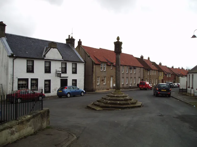
Moodiesburn
Moodiesburn — village in North Lanarkshire, Scotland, UK.

Wikimedia Commons contributors — see linked file page for photographer and licence licence
Plan your visit
- Typical visit
- 3 h–6 h
- Nearest railway station
- Gartcosh · 2.6 km
- Free entry
- Family-friendly
- Dog-friendly
About
Moodiesburn is a town, city, village or settlement in the United Kingdom. Recent population estimates put it at around 6,890 people. Wikidata describes it as: "village in North Lanarkshire, Scotland, UK". Coordinates: 55.9086°, -4.0821°.
Photo gallery
From the Wikipedia article
Moodiesburn is a village in Scotland, located 8 miles (13 kilometres) northeast of Glasgow, in the North Lanarkshire council area. It is situated on the north side of the A80 road and between the M73 and M80 motorways which converge nearby. Moodiesburn does not directly adjoin any other settlements, though the contiguous villages of Chryston and Muirhead are located a short distance to the west (the boundary being the Strathkelvin railway path) with Stepps just beyond, while outer parts of Cumbernauld lie to the east; however, its centre is about 5 miles (8 kilometres) from Moodiesburn. The village's economic standing greatly declined in the latter half of the 20th century, following the Auchengeich mining disaster and the disintegration of local employment. In the early 21st century the economic demographic of the population has improved; good transport links enable a significant proportion of the population travel to Glasgow or nearby large towns for employment in the professional and commercial sphere. The village is also located near several historical and cultural landmarks, including the Antonine Wall, a UNESCO World Heritage Site that was built by the Romans in the 2nd century AD. The area is popular with hikers and outdoor enthusiasts due to its scenery and proximity to the Scottish countryside.
Excerpt from Wikipedia under CC BY-SA 4.0. See the source article linked in Sources below.
Background
History
The etymology of the name is probably from the common Scottish surname Moody. Several old documents show Moodiesburn with various spellings including maps by Richardson, Forrest, and William Roy. Moodiesburn (or Mudiesburn) was formerly part of the parish of Cadder. The New Statistical Accounts recorded 30 families and 143 people in 1836. In 1846 there were reported to be 35 houses with 220 people living in them. Towards the end of the 19th century the population fell to as low as 150. The village was developed in the 20th century with employment in coal mining and around psychiatric institution Stoneyetts Hospital. In the 1930s, wooden houses were constructed on the estate of Gartferry…
Sourced from Wikipedia under CC BY-SA 4.0.
- Coordinates
- 55.9086, -4.0821
- District
- North Lanarkshire
- Postcode
- G69 0AP
- Parliamentary constituency
- Coatbridge and Bellshill
- Population
- 6,890
- Nearest railway station
- Gartcosh — 2.6 km
Sources
- wikidata: Q1011148 (CC0)
- wikipedia: Moodiesburn (CC BY-SA 4.0)
- commons: The Silver Larch, Moodiesburn - geograph.org.uk - 128119.jpg (CC BY-SA 4.0)
Other places nearby
Loading nearby places…
Nearby
 📷 3
📷 3Public art & sculpture · Central Scotland
Bedlay Well
Bedlay Well — a public art in scotland-central, United Kingdom.
 📷 3
📷 3Castles · Central Scotland
Bedlay Castle
Bedlay Castle — castle in North Lanarkshire, Scotland, UK.
 📷 3
📷 3Memorials & monuments · Central Scotland
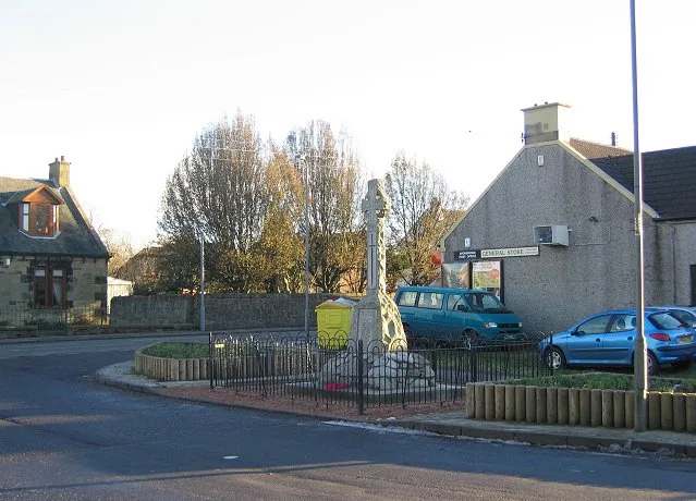
Auchengeich Colliery Disaster Memorial
Auchengeich Colliery Disaster Memorial — a memorial in scotland-central, United Kingdom.
 📷 5
📷 5Historic churches · Central Scotland
Chryston Parish Church, Main Street, Chryston
Chryston Parish Church, Main Street, Chryston — category C listed building-listed church in scotland-central, United Kingdom.
.jpg?width=1200) 📷 3
📷 3Towns & cities · Central Scotland
Chryston
Chryston — village in North Lanarkshire, Scotland, UK.
 📷 3
📷 3Memorials & monuments · Central Scotland
Chryston War Memorial
Chryston War Memorial — a memorial in scotland-central, United Kingdom.
More towns in this region
 Flagship📷 3
Towns & cities · Central Scotland
Airth
Airth — village in Falkirk, Scotland, UK.
 Flagship📷 5
Towns & cities · Central Scotland
Avonbridge
Avonbridge — village in Falkirk, Scotland, UK.
 Flagship📷 3
Towns & cities · Central Scotland
Banknock
Banknock — village in Falkirk, Scotland, UK.
 Flagship📷 3
Towns & cities · Central Scotland
Dundee
Dundee — city in Scotland, UK.
Frequently asked questions
- Where is Moodiesburn?
- Moodiesburn is in central Scotland, United Kingdom (postcode G69 0AP).
- Is Moodiesburn free to visit?
- Yes, Moodiesburn is free to enter.
- How do I get to Moodiesburn?
- The nearest railway station is Gartcosh, about 2.6 km away. Drivers can navigate to postcode G69 0AP.