Abbeys & priories · Scottish Highlands
Monifieth
Also known as: Monadh Fotha
Monifieth in Scotland Islands, United Kingdom.

Maigheach-gheal — CC BY-SA 2.0 via Wikimedia Commons licence
Plan your visit
- Typical visit
- 45 min–1.5 h
- Family-friendly
- Limited wheelchair access
About
Monifieth is a place of interest in Scotland Islands, United Kingdom — drawn from open-data sources for visitor reference. See the linked Wikipedia article for the full description.
Photo gallery
From the Wikipedia article
Monifieth (Scottish Gaelic: Monadh Fotha) is a town and former police burgh in the council area of Angus, Scotland. It is situated on the north bank of the Firth of Tay on the east coast. In 2020, the population of Monifieth was estimated at 8,860, making it the fifth largest town in Angus. The presence of a number of class II and III Pictish stones points to Monifieth having had some importance as an ecclesiastical centre in the early medieval period. The lands were a possession of the Céli Dé monastic order until they were granted to the Tironensian monks of Arbroath Abbey in the early 13th century. Until the early 19th century, Monifieth remained a small village but grew rapidly due to the expansion of the local textile industry. Monifieth is considered a commuter town and suburb of its closest city, Dundee, which it is physically attached to.The town falls within the boundaries of Angus Council but was part of Dundee City Council from 1975 to 1996. The local constituency boundary and whether Monifieth should fall within Angus or Dundee council areas continues to be a source of debate. Public transport consists mainly of bus services operated by Stagecoach Buses. The town is served by Monifieth railway station, with hourly trains to Dundee & Edinburgh and North to Arbroath. Its nearest major road is the A92 and the town is connected to Dundee by the A930.
Excerpt from Wikipedia under CC BY-SA 4.0. See the source article linked in Sources below.
Background
History
]]The earliest evidence for occupation of the area surrounding Monifieth dates to the Mesolithic period. Midden pits of that age have been found nearby at Stannergate, and worked flints apparently of that age have been found at Balmossie. More tangible evidence for settlement can be found from the Neolithic period, for example with the Cursus monument, identified from cropmarks near Woodhill, between Monifieth and Carnoustie. This cursus is of a similar scale to the well characterised, mid 4th century BC enclosure found nearby at Douglasmuir near Friockheim. Numerous stones incised with cup and ring marks have also been found in the surrounding area. Approximately 1 mi to the north of…
Sourced from Wikipedia under CC BY-SA 4.0.
- Coordinates
- 56.4810, -2.8200
- District
- Angus
- Postcode
- DD5 4DB
- Parliamentary constituency
- Arbroath and Broughty Ferry
Sources
Other places nearby
Loading nearby places…
Nearby
 📷 5
📷 5Historic churches · Central Scotland
St Rule's Parish Church, Church Street, Monifieth, Dundee
St Rule's Parish Church, Church Street, Monifieth, Dundee — category B listed building-listed church in scotland-central, United Kingdom.
📷 5Historic churches · Central Scotland
South United Free Church, Hill Street, Monifieth, Dundee
South United Free Church, Hill Street, Monifieth, Dundee — category C listed building-listed church in scotland-central, United Kingdom.
Caravan parks · Central Scotland
TayView Caravan & Camping Park
TayView Caravan & Camping Park — a caravan park in scotland central.
📷 3Memorials & monuments · Central Scotland
Monifieth War Memorial
Monifieth War Memorial — a memorial in scotland-central, United Kingdom.
📷 5Memorials & monuments · Central Scotland
War Memorial, Maule Street, Monifieth
War Memorial, Maule Street, Monifieth — category B listed building-listed memorial in scotland-central, United Kingdom.
📷 5Historic churches · Central Scotland
Holy Trinity Episcopal Church, High Street, Monifieth, Dundee
Holy Trinity Episcopal Church, High Street, Monifieth, Dundee — category B listed building-listed church in scotland-central, United Kingdom.
More abbeys in this region
 📷 3
📷 3Abbeys & priories · Scottish Highlands
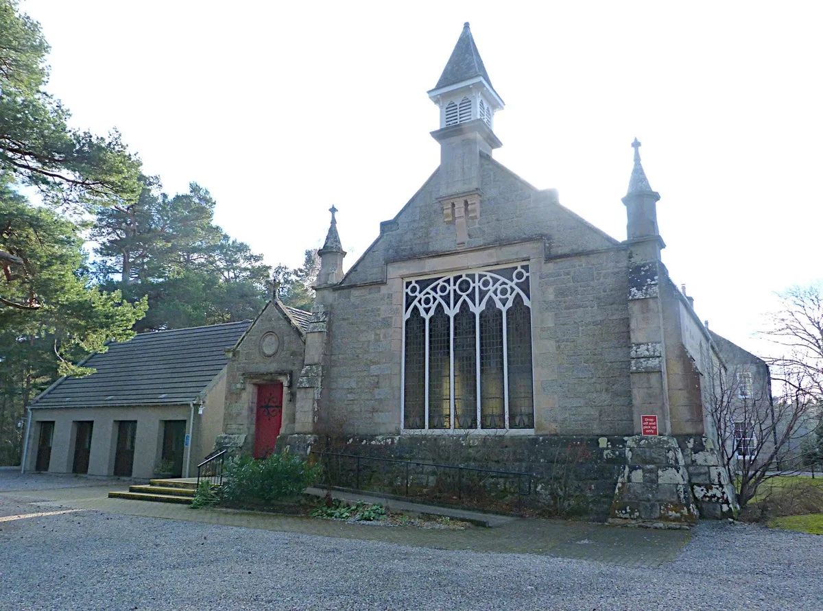
Abernethy Parish Church, Nethybridge
Abernethy Parish Church, Nethybridge — church building in Highland, Scotland, UK.
 ★ Iconic📷 3
Abbeys & priories · Scottish Highlands
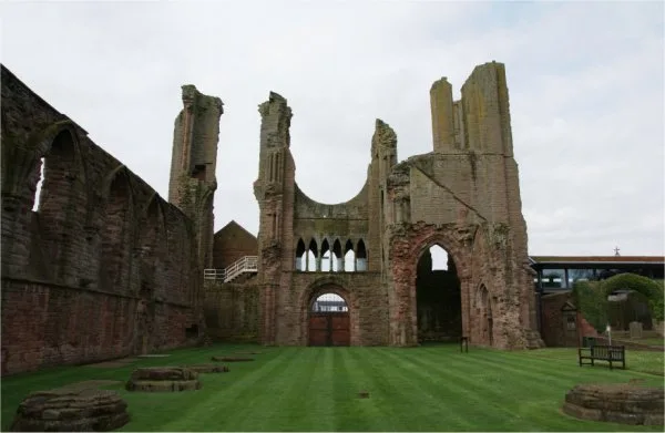
Arbroath Abbey
Arbroath Abbey — abbey in Arbroath, Scotland, United Kingdom.
 ★ Iconic📷 5
Abbeys & priories · Scottish Highlands
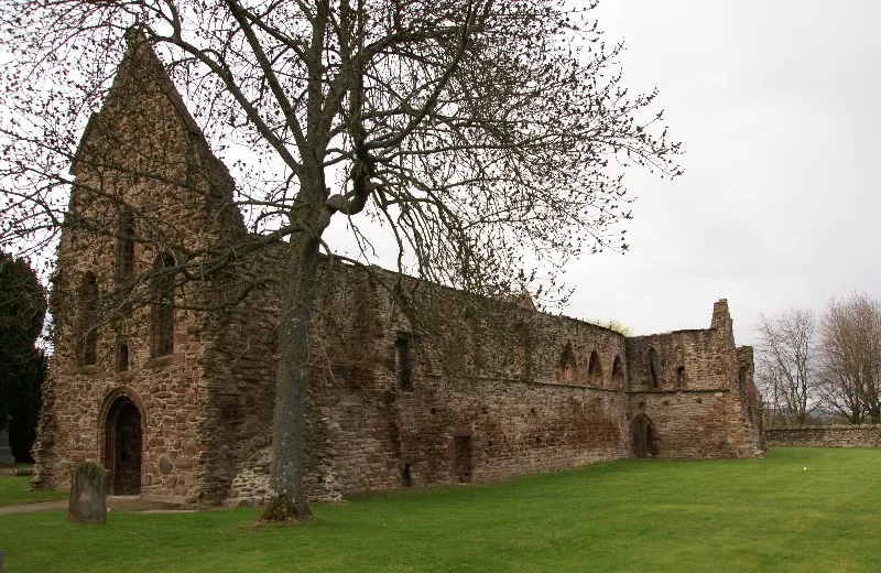
Beauly Priory
Beauly Priory — monastery in Highland, Scotland, UK.
 📷 3
📷 3Abbeys & priories · Scottish Highlands
Brechin Monastery
Brechin Monastery is a abbey in the United Kingdom.
Frequently asked questions
- Where is Monifieth?
- Monifieth is in Scottish Highlands, in the United Kingdom — coordinates 56.4810°, -2.8200°.
- Is Monifieth wheelchair accessible?
- Partially — OpenStreetMap notes limited wheelchair access at Monifieth. Check ahead for specific facilities.