Natural landmarks · North Wales
Moel y Cerrig Duon
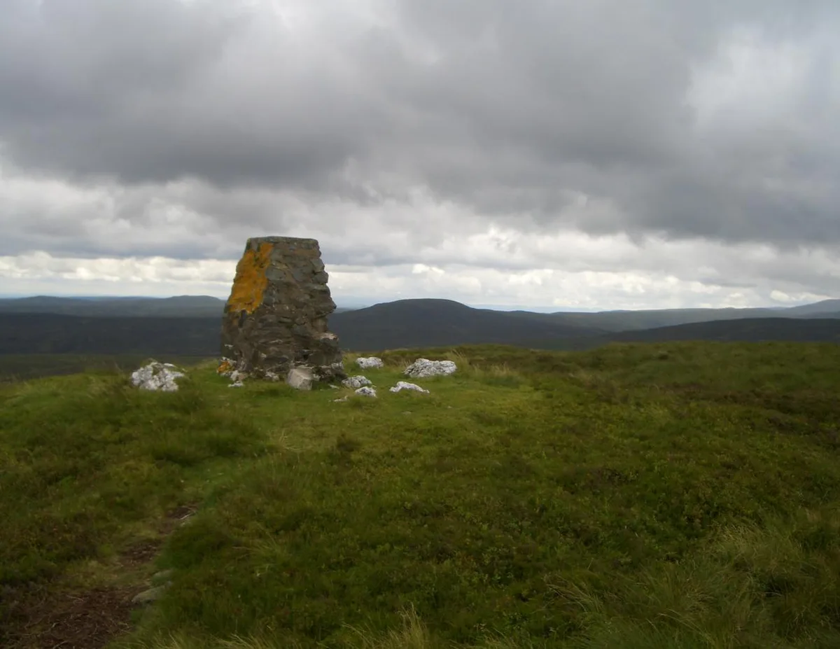
Moel y Cerrig Duon — mountain (625m) in Gwynedd.

Wikimedia Commons contributors — see linked file page for photographer and licence licence
Plan your visit
- Typical visit
- 1 h–2 h
- Nearest railway station
- Llanuwchllyn · 7.3 km
- Free entry
- Dog-friendly
About
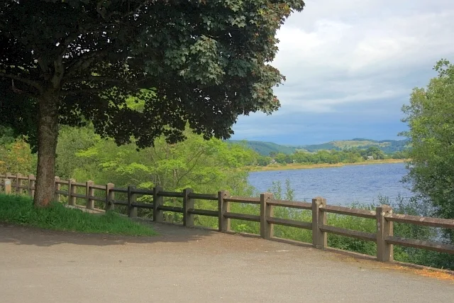
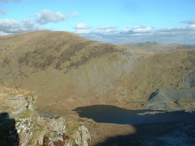
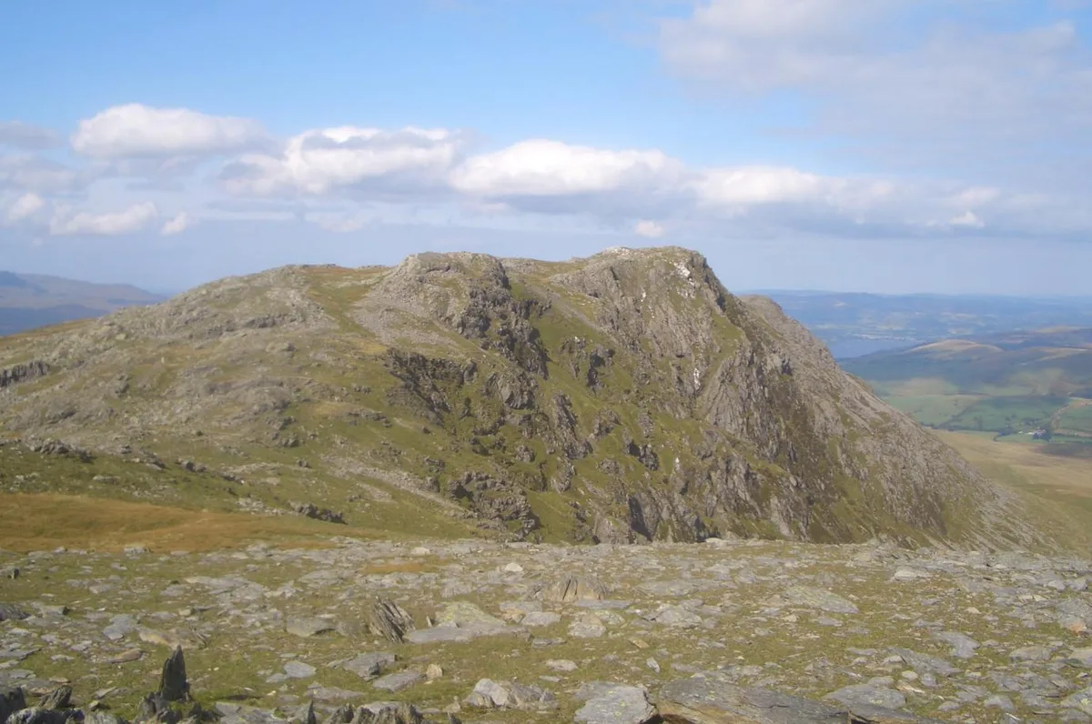
Moel y Cerrig Duon is a named natural landmark in the United Kingdom. Part of Aran Fawddwy. Wikidata describes it as: "mountain (625m) in Gwynedd". Coordinates: 52.8041°, -3.5983°.
Photo gallery
From the Wikipedia article
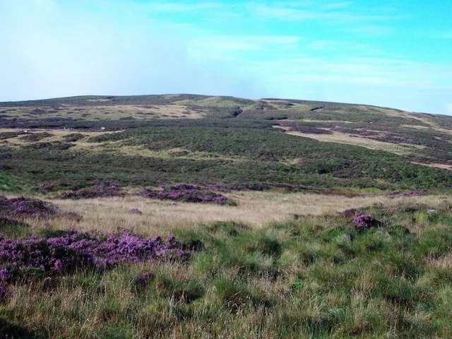
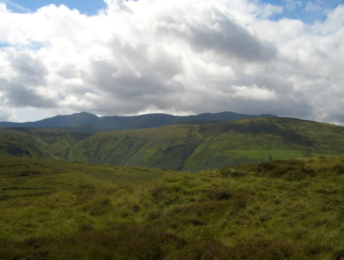
Moel y Cerrig Duon is a subsidiary summit of Esgeiriau Gwynion in Gwynedd in north Wales. Moel y Cerrig Duon tops the eastern end of a long peat bog plateau along with Llechwedd Du. Its summit has a conical shape, rising suddenly from the bog. The summit itself is grassy, marked by a small cairn and a stake. To the north-east is Foel y Geifr, to the east Cyrniau Nod and to the west is Llechwedd Du, Esgeiriau Gwynion, and Aran Fawddwy. Its otherwise unremarkable SW top Foel y Groes(582m) forms the watershed between the Dee, Severn and Dyfi catchments. The Aran range continues south from Moel y Cerrig Duon forming a large area of high moorland to the west of Lake Vyrnwy, crowned by Mynydd Coch. To the north it continues to Foel y Geifr, the eastern outpost of the Aran Fawddwy range.
Excerpt from Wikipedia under CC BY-SA 4.0. See the source article linked in Sources below.
- Coordinates
- 52.8041, -3.5983
- Address
- Gwynedd, Wales
- Nearest railway station
- Llanuwchllyn — 7.3 km
Sources
- wikidata: Q6890123 (CC0)
- wikipedia: Moel y Cerrig Duon (CC BY-SA 4.0)
- commons: Mowlduuu.JPG (CC BY-SA 4.0)
Other places nearby
Loading nearby places…
Nearby
 📷 3
📷 3Mountains & hills · North Wales
Moel y Cerrig Duon
Moel y Cerrig Duon — Named summit at 625 m.
 📷 3
📷 3Mountains & hills · North Wales
Foel Tyn-y-fron
Foel Tyn-y-fron — a mountain in wales-north, United Kingdom, 606 m.
 📷 3
📷 3Mountains & hills · North Wales
Foel Tyn-y-fron (Moel y Pawl)
Foel Tyn-y-fron (Moel y Pawl) — Named summit at 605 m.
 📷 5
📷 5Mountains & hills · North Wales
Moel Eunant
Moel Eunant — a mountain in wales-north, United Kingdom, 568 m.
 📷 3
📷 3Mountains & hills · North Wales
Foel Rhudd
Foel Rhudd — Named summit at 659 m.
 📷 3
📷 3Mountains & hills · North Wales
Bryn Glas
Bryn Glas — a mountain in wales-north, United Kingdom, 558 m.
More natural landmarks in this region
 Flagship📷 5
Natural landmarks · North Wales
Llyn Llydaw
Llyn Llydaw is a natural landmark in the United Kingdom.
 📷 5
📷 5Natural landmarks · North Wales
Llyn Tegid
Llyn Tegid is a natural landmark in the United Kingdom.
 📷 3
📷 3Natural landmarks · North Wales
Allt-fawr
Allt-fawr — mountain (698m) in Gwynedd, Wales.
 📷 3
📷 3Natural landmarks · North Wales
Aran Benllyn
Aran Benllyn — mountain (885m) in Gwynedd.
Frequently asked questions
- Where is Moel y Cerrig Duon?
- Moel y Cerrig Duon is in North Wales, United Kingdom.
- Is Moel y Cerrig Duon free to visit?
- Yes, Moel y Cerrig Duon is free to enter.
- How do I get to Moel y Cerrig Duon?
- The nearest railway station is Llanuwchllyn, about 7.3 km away.