Archaeological sites · East of England
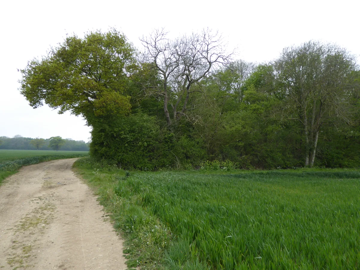
Moat Farm moated site, 650m west of Goodwyns Farm
Moat Farm moated site, 650m west of Goodwyns Farm — archaeological site in Heveningham, United Kingdom.

Wikimedia Commons contributors — see linked file page for photographer and licence licence
Plan your visit
- Typical visit
- 45 min–1.5 h
- Nearest railway station
- Darsham · 6.7 km
- Free entry
- Dog-friendly
About
Moat Farm moated site, 650m west of Goodwyns Farm is a place of interest in East of England. Officially recognised as scheduled monument. The site is within the Suffolk Coast & Heaths National Landscape (AONB). The nearest railway station is Darsham, about 6.7 km away.
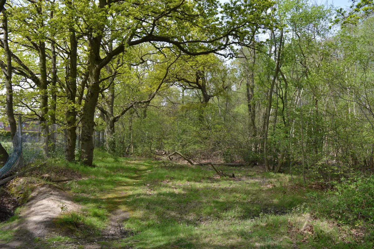
Photo gallery
Protected designations
- Area of Outstanding Natural Beauty: Suffolk Coast & Heaths
Designations sourced from Natural England open data under OGL v3.
Place summary
Moat Farm moated site is an archaeological site located 650 metres west of Goodwyns Farm in the East of England. It is designated as a scheduled monument and lies within the Suffolk Coast & Heaths Area of Outstanding Natural Beauty (AONB).
AI-generated from the structured facts on this page (operator, designation, listing, era). Not a substitute for visiting.
- Coordinates
- 52.2869, 1.4280
- County
- Suffolk
- District
- East Suffolk
- Parish
- Heveningham
- Postcode
- IP17 2JR
- Parliamentary constituency
- Suffolk Coastal
- Nearest railway station
- Darsham — 6.7 km
Sources
- wikidata: Q17678833 (CC0)
- commons: Moat at Moat Farm - geograph.org.uk - 1908407.jpg (CC BY-SA 4.0)
Other places nearby
Loading nearby places…
Nearby
Campsites · East of England
Teepee Site
Teepee Site — a campsite in england east.
 📷 4
📷 4Historic churches · East of England
Church of St Margaret
Church of St Margaret — church in Heveningham, Suffolk, England, UK.
 📷 3
📷 3Public art & sculpture · East of England
Heveningham Village Sign
Heveningham Village Sign — a public art in england-east, United Kingdom.
 📷 3
📷 3Public art & sculpture · East of England
Ubbeston Village Sign
Ubbeston Village Sign — a public art in england-east, United Kingdom.
Caravan parks · East of England
Sibton White Horse Inn CAMC CL
Sibton White Horse Inn CAMC CL — a caravan park in england east.
Campsites · East of England
The Croft Campsite
The Croft Campsite — a campsite in england east.
More archaeological sites in this region
 📷 3
📷 3Archaeological sites · East of England
Abbey Wood, Flixton
Abbey Wood, Flixton is a archaeological site in the United Kingdom.
 📷 3
📷 3Archaeological sites · East of England
Bangrove Wood
Bangrove Wood — protected area in Suffolk, England.
.jpg?width=1200) 📷 4
📷 4Archaeological sites · East of England
Bixley medieval settlement
Bixley medieval settlement — archaeological site in Norfolk, England, UK.
 📷 5
📷 5Archaeological sites · East of England
Bullock Wood
Bullock Wood — biological Site of Special Scientific Interest in England.
Frequently asked questions
- Where is Moat Farm moated site, 650m west of Goodwyns Farm?
- Moat Farm moated site, 650m west of Goodwyns Farm is in Suffolk, East of England, United Kingdom (postcode IP17 2JR), in the parish of Heveningham.
- Is Moat Farm moated site, 650m west of Goodwyns Farm a listed building?
- Moat Farm moated site, 650m west of Goodwyns Farm is officially recognised as scheduled monument listed.
- Is Moat Farm moated site, 650m west of Goodwyns Farm a protected site?
- Yes — Moat Farm moated site, 650m west of Goodwyns Farm is part of the Suffolk Coast & Heaths National Landscape (AONB).
- How do I get to Moat Farm moated site, 650m west of Goodwyns Farm?
- The nearest railway station is Darsham, about 6.7 km away. Drivers can navigate to postcode IP17 2JR.