Forts · Scottish Highlands
Mither Tap fort
Mither Tap fort is a fort in the United Kingdom.

Wikimedia Commons contributors — see linked file page for photographer and licence licence
Plan your visit
- Typical visit
- 45 min–1.5 h
- Nearest railway station
- Insch · 7.4 km
About
Mither Tap fort is a historic fort or fortified site in the United Kingdom. Coordinates: 57.2908°, -2.5286°. This entry is part of The Great Britain Guide, a free, ad-free, open-data tourist directory.
Photo gallery
From the Wikipedia article
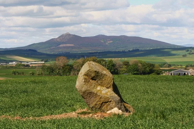
The Mither Tap hillfort is a prehistoric stone-walled fortification located on the summit of Mither Tap, a prominent granite outcrop on the eastern side of the Bennachie range in Aberdeenshire, Scotland. The site features stone ramparts, complex entrance arrangements, and evidence of multiple construction phases, indicating that it developed from early enclosures into a substantial settlement with both defensive and domestic functions.
Excerpt from Wikipedia under CC BY-SA 4.0. See the source article linked in Sources below.
Background
History
The fort is likely to have originated in prehistory, but shows clear evidence of occupation between the 4th and 8th centuries AD, during the early medieval Pictish period. It has been suggested that the site may have been an important centre within the Pictish territory of Cé, based on place-name evidence and later historical tradition. The name ‘Bennachie’ has been interpreted by some scholars as deriving from Benne Cé (“mountain of Cé”), while others argue it comes from the Gaelic Beinn na Cìche (“hill of the breast”), referring to the summit’s distinctive shape. Archaeological evidence, including metalworking debris and high-status artefacts, indicates that Mither Tap was more than a…
Architecture
The fort consists of two stone ramparts: an inner rampart surrounding the summit outcrop and the outer rampart positioned slightly lower down the slopes. Most of the masonry has collapsed, but the rampart lines remain visible. Terraced platforms cut into the hillside suggest domestic use, with circular and rectangular foundations that may have supported roundhouses or other buildings. A well in the lower citadel, recorded in a 19th-century survey by Christian Maclagan, held water until it was later filled in during the 20th century. The inner rampart closely follows the granite outcrop at the summit and defines a small summit area that is largely shaped by the outcrop itself. The outer…
Sourced from Wikipedia under CC BY-SA 4.0.
- Coordinates
- 57.2908, -2.5286
- District
- Aberdeenshire
- Postcode
- AB51 5HX
- Parliamentary constituency
- Gordon and Buchan
- Nearest railway station
- Insch — 7.4 km
Sources
- osm: w779000590 (ODbL)
- wikipedia: Mither Tap hillfort (CC BY-SA 4.0)
- commons: Remains of the iron age hill fort, Mither Tap - geograph.org.uk - 6610500.jpg (CC BY-SA 4.0)
Other places nearby
Loading nearby places…
Nearby
Vineyards · Scottish Highlands
Mither Tap of Bennachie
Mither Tap of Bennachie — a UK vineyard in scotland highlands, producing English or Welsh wine from cool-climate grape varieties.
 📷 3
📷 3Archaeological sites · Scottish Highlands
The Gouk Stone
The Gouk Stone — a archaeological in scotland-highlands, United Kingdom.
 📷 5
📷 5Mountains & hills · Scottish Highlands
Oxen Craig
Oxen Craig — Named summit at 529 m.
 📷 3
📷 3Memorials & monuments · Scottish Highlands
Bennachie Royal Air Force Stone
Bennachie Royal Air Force Stone — a memorial in scotland-highlands, United Kingdom.
 📷 5
📷 5Natural landmarks · Scottish Highlands
Bennachie
Bennachie — range of hills in Aberdeenshire, Scotland, UK.
Vineyards · Scottish Highlands
Maiden Castle
Maiden Castle — a UK vineyard in scotland highlands, producing English or Welsh wine from cool-climate grape varieties.
More forts in this region
 📷 3
📷 3Forts · Scottish Highlands
Barmekin of Echt
Barmekin of Echt is a fort in the United Kingdom.
 📷 3
📷 3Forts · Scottish Highlands
Battle of Aberdeen
Battle of Aberdeen is a fort in the United Kingdom.
 📷 3
📷 3Forts · Scottish Highlands
Battle of Alford
Battle of Alford is a fort in the United Kingdom.
 📷 2
📷 2Forts · Scottish Highlands
Battle of Alltacoilcachan A.D. 1594
Battle of Alltacoilcachan A.D. 1594 is a fort in the United Kingdom.
Frequently asked questions
- Where is Mither Tap fort?
- Mither Tap fort is in Scottish Highlands, in the United Kingdom — coordinates 57.2908°, -2.5286°. The nearest railway station is Insch, around 7.4 km away.