Towns & cities · West Midlands
Milton Ernest
Milton Ernest — village and civil parish in Bedfordshire, UK.

Wikimedia Commons contributors — see linked file page for photographer and licence licence
Plan your visit
- Typical visit
- 3 h–6 h
- Nearest railway station
- Bedford · 5.8 km
- Free entry
- Family-friendly
- Dog-friendly
About
Milton Ernest is a town, city, village or settlement in the United Kingdom. Recent population estimates put it at around 754 people. Address: MK44. Wikidata describes it as: "village and civil parish in Bedfordshire, UK". Coordinates: 52.1833°, -0.5166°.
Photo gallery
From the Wikipedia article
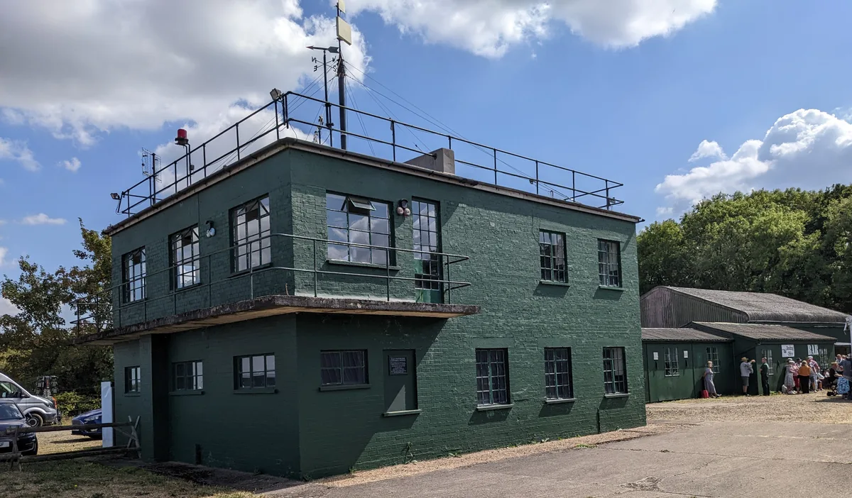
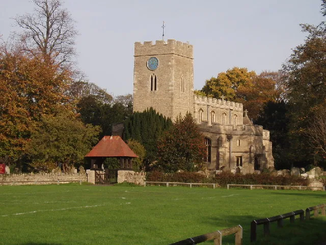
Milton Ernest is a village and civil parish in Bedfordshire, England, about 5 miles (8.0 km) north of Bedford itself. It had a population of 754 in 2001. This had risen to 761 according to the 2011 census. The village is situated on the east bank of the River Great Ouse, and is the site of Milton Ernest Hall, which was used as the United States Eighth Air Force's support command headquarters in the Second World War. The village is named in the Domesday Book in the hundred of Stodden. The entry reads: "Middletone / Mildentone: Miles Crispin and William Basset from Hugh de Beauchamp; Thorgils from Nigel d'Aubigny; Reginald from Walter of Flanders; Ivo, Hugh de Grandmesnil's steward from Adelaide, Hugh de Grandmesnil's wife; a beadle from the king. Mill." All Saints' Church was built between the 12th and 15th centuries. Possible variations in spelling may include "Milton Harneys", in 1396, & "Midelton Erneys", in 1430. The first half of the name means "Middle Farm". The second half of the name is derived from the name of the main manor of the village and was added in the 13th century to distinguish it from Bedfordshire's other Milton (Bryant). Milton Ernest has a small voluntary controlled village school, closely linked to the church, that has between 60 and 65 pupils drawn from this and surrounding villages. The secondary school for the area is Sharnbrook Academy, in the village of Sharnbrook, located around 3 miles (4.8 km) away. On 15 December 1944, Glenn Miller took off from RAF Twinwood Farm, in neighbouring Clapham, on his last, ill-fated flight, and was last seen in public in the Queen's Head Hotel in Milton Ernest before he disappeared. A plaque at Milton Ernest Hall honours Major Glenn Miller and members of the United States Eighth Air Force, it reads "In memory of all the personnel who served in World War II at Milton Ernest Hall headquarters USAAF Eight Air Force Service Command Station 608 1943-1946, also Major Glenn Miller & the band of the Allied…
Excerpt from Wikipedia under CC BY-SA 4.0. See the source article linked in Sources below.
- Coordinates
- 52.1833, -0.5166
- District
- Bedford
- Parish
- Pavenham
- Postcode
- MK44
- Parliamentary constituency
- North Bedfordshire
- Population
- 754
- Nearest railway station
- Bedford — 5.8 km
Sources
- wikidata: Q1520359 (CC0)
- wikipedia: Milton Ernest (CC BY-SA 4.0)
- commons: Milton Ernest church - geograph.org.uk - 78425.jpg (CC BY-SA 4.0)
Other places nearby
Loading nearby places…
Nearby
 📷 3
📷 3Memorials & monuments · West Midlands
Oakley Memorial
Oakley Memorial is a memorial in the United Kingdom.
 📷 5
📷 5Wildlife reserves · West Midlands
Browns Wood Local Nature Reserve
Browns Wood Local Nature Reserve is a wildlife reserve in the United Kingdom.
 📷 3
📷 3Museums · West Midlands
Glenn Miller Museum
Glenn Miller Museum — museum in Clapham, England, UK.
 📷 3
📷 3Historic churches · West Midlands
Church of All Saints, Milton Ernest
Church of All Saints, Milton Ernest — Grade I listed church in Milton Ernest, Bedford, Bedfordshire, England, UK.
Campsites · London
Camp Site B
Camp Site B — a campsite in england london.
Campsites · London
Overflow Camp Site A
Overflow Camp Site A — a campsite in england london.
More towns in this region
 Flagship📷 3
Towns & cities · West Midlands
Adderbury
Adderbury — village and civil parish in Cherwell district, Oxfordshire, England.
 Flagship📷 3
Towns & cities · West Midlands
Admington
Admington — village in Warwickshire, England, UK.
 Flagship📷 3
Towns & cities · West Midlands
Aldington
Aldington — village in Worcestershire, United Kingdom.
 Flagship📷 5
Towns & cities · West Midlands
Anstey
Anstey — large village in Leicestershire, England.
Frequently asked questions
- Where is Milton Ernest?
- Milton Ernest is in the West Midlands, United Kingdom (postcode MK44), in the parish of Pavenham.
- Is Milton Ernest free to visit?
- Yes, Milton Ernest is free to enter.
- How do I get to Milton Ernest?
- The nearest railway station is Bedford, about 5.8 km away. Drivers can navigate to postcode MK44.