Mountains & hills · East Midlands
Mill Hill
Mill Hill — Named summit at 544 m.

Wikimedia Commons contributors — see linked file page for photographer and licence licence
Plan your visit
- Typical visit
- 3 h–8 h
- Best time of year
- Late spring – early autumn (May–Oct)
- Nearest railway station
- Manor Station · 4.6 km
- Free entry
- Dog-friendly
About
Mill Hill is a named summit in the United Kingdom. Wikidata describes it as: "Named summit at 544 m.". Coordinates: 53.4105°, -1.9095°.
Photo gallery
Protected designations
- Site of Special Scientific Interest: Dark Peak SSSI
Designations sourced from Natural England open data under OGL v3.
From the Wikipedia article
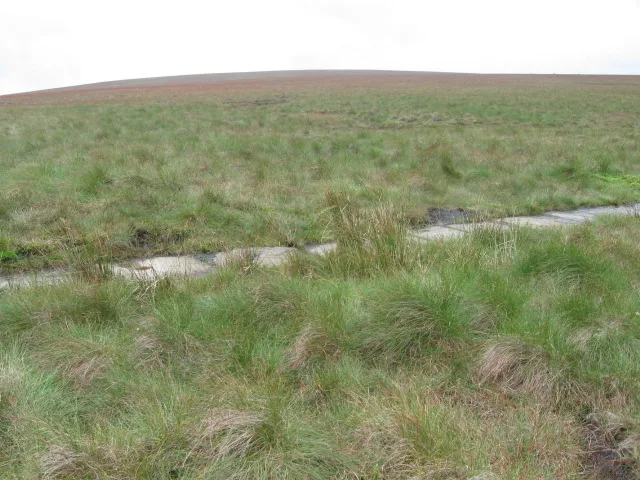
Mill Hill is an open, flat-topped hill, 1,785 feet (544 m) above sea level, in the Peak District in the county of Derbyshire in England.
Excerpt from Wikipedia under CC BY-SA 4.0. See the source article linked in Sources below.
Background
Description
Mill Hill is a bare, domed summit surrounded by peat moorland that lies on the route of the Pennine Way about 2.5 miles (4 km) northwest of the highest point in the Peak District, Kinder Scout. There is a cairn and marker pole at the summit. The summit area has been so eroded by visitors that the highest point is now to the NE.
Sourced from Wikipedia under CC BY-SA 4.0.
- Coordinates
- 53.4105, -1.9095
- Address
- Derbyshire, England, UK
- Nearest railway station
- Manor Station — 4.6 km
Sources
- osm: n2688029156 (ODbL)
- wikipedia: Mill Hill (Derbyshire) (CC BY-SA 4.0)
- commons: Liberator bomber wreck, Mill Hill - geograph.org.uk - 43608.jpg (CC BY-SA 4.0)
Other places nearby
Loading nearby places…
Nearby
 📷 3
📷 3Memorials & monuments · East Midlands
Ken’s Place
Ken’s Place — a memorial in england-east-midlands, United Kingdom.
 📷 3
📷 3Memorials & monuments · East Midlands
Memorial to Flying Officer James Desmond Horne
Memorial to Flying Officer James Desmond Horne — a memorial in england-east-midlands, United Kingdom.
Wild swimming spots · East Midlands
Mermaid's pool
Mermaid's pool — a wild swimming in england east midlands.
 📷 3
📷 3Viewpoints · East Midlands
Heron Crags
Heron Crags is a viewpoint in the United Kingdom.
 📷 3
📷 3Mountains & hills · East Midlands
Featherbed Top
Featherbed Top — Named summit at 544 m.
 📷 3
📷 3Reservoirs & lochs · East Midlands
Hurst Reservoir
Hurst Reservoir — former reservoir in Derbyshire, England, UK.
More mountains in this region
 📷 3
📷 3Mountains & hills · East Midlands
Axe Edge Moor
Axe Edge Moor — Named summit at 551 m.
Mountains & hills · East Midlands
Beacon Hill
Beacon Hill — Named summit at 244.5 m.
Mountains & hills · East Midlands
Beacon Hill
Beacon Hill — Named summit at 105 m.
 📷 3
📷 3Mountains & hills · East Midlands
Black Edge - Summit
Black Edge - Summit — Named summit at 506.7 m.
Frequently asked questions
- Where is Mill Hill?
- Mill Hill is in the East Midlands, United Kingdom.
- Is Mill Hill a protected site?
- Yes — Mill Hill is part of the Dark Peak SSSI Site of Special Scientific Interest.
- Is Mill Hill free to visit?
- Yes, Mill Hill is free to enter.
- How do I get to Mill Hill?
- The nearest railway station is Manor Station, about 4.6 km away.