Other places · North East England
Milecastle 46
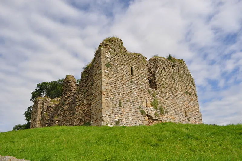
Milecastle 46 in England North East, United Kingdom.

Andrew Curtis — CC BY-SA 2.0 via Wikimedia Commons licence
Plan your visit
- Typical visit
- 1 h–2 h
About
Milecastle 46 is a place of interest in England North East, United Kingdom — drawn from open-data sources for visitor reference. See the linked Wikipedia article for the full description.
Photo gallery
From the Wikipedia article
Milecastle 46 (Carvoran) was a milecastle on Hadrian's Wall (grid reference NY66466601).
Excerpt from Wikipedia under CC BY-SA 4.0. See the source article linked in Sources below.
Background
Description
Milecastle 46 is just west of the Vallum deviation, north of Carvoran Roman Fort (Magnis). There are no visible remains of the milecastle, but its site can be distinguished by a slight, turf-covered platform. The site is visible as earthworks on aerial photographs.
Visiting
The site of the milecastle is on private land directly adjacent to the Hadrian's Wall Path. Parking is available at Walltown Quarry Car Park, which is on the line of the Hadrian's Wall Path, and is signposted from the B6318 (Military Road).
Sourced from Wikipedia under CC BY-SA 4.0.
- Coordinates
- 54.9876, -2.5256
- District
- Northumberland
- Parish
- Greenhead
- Postcode
- CA8 7HF
- Parliamentary constituency
- Hexham
- Official site
- romanarmymuseum.com
Sources
- wikidata: Q16156605 (CC0)
- wikipedia: Milecastle 46 (CC BY-SA 4.0)
Other places nearby
Loading nearby places…
Nearby
📷 3Archaeological sites · Scottish Lowlands
Milecastle 36 (Carvoran)
Milecastle 36 (Carvoran) — a archaeological in scotland-lowlands, United Kingdom.
 📷 3
📷 3Museums · North East England
Magna Roman Fort
Magna Roman Fort in England North East, United Kingdom.
📷 3Archaeological sites · Scottish Lowlands
Magnis Roman fort
Magnis Roman fort — a archaeological in scotland-lowlands, United Kingdom.
 📷 3
📷 3Museums · Scottish Lowlands
Roman Army Museum
Roman Army Museum — a museum in scotland-lowlands, United Kingdom.
 📷 3
📷 3Castles · Scottish Lowlands
Thirlwall Castle
Thirlwall Castle — Grade I listed castle in Thirlwall, Northumberland, England, UK.
 📷 3
📷 3Natural landmarks · Scottish Lowlands
Walltown Quarry
Walltown Quarry — a other in scotland-lowlands, United Kingdom.
More places in this region
.jpg?width=1200) 📷 3
📷 3Other places · North East England
Stockton Flyer
Stockton Flyer — Public artwork (installation).
 📷 3
📷 3Other places · North East England
Temenos
Temenos — Public artwork (sculpture) by Anish Kapoor.
 📷 5
📷 5Other places · North East England
Appleby Horse Fair
The Appleby Horse Fair, previously known as Appleby New Fair, is an annual gathering of Romani people (Gypsies) and Travellers in Appleby-in-Westmorland in Cumbria, England. The horse fair is held eac
 📷 5
📷 5Other places · North East England
Locomotion No. 1
Locomotion No. 1 (originally named Active) is an early steam locomotive that was built in 1825 by the pioneering railway engineers George and Robert Stephenson at their manufacturing firm, Robert Step
Frequently asked questions
- Where is Milecastle 46?
- Milecastle 46 is in North East England, in the United Kingdom — coordinates 54.9876°, -2.5256°.