Towns & cities · East Midlands
Middleton
Middleton — village and civil parish in Derbyshire Dales, Derbyshire, England.

Wikimedia Commons contributors — see linked file page for photographer and licence licence
Plan your visit
- Typical visit
- 3 h–6 h
- Nearest railway station
- Recreation Ground Halt · 0.8 km
- Free entry
- Family-friendly
- Dog-friendly
About
Middleton is a town, city, village or settlement in the United Kingdom. Recent population estimates put it at around 723 people. Wikidata describes it as: "village and civil parish in Derbyshire Dales, Derbyshire, England". Coordinates: 53.1009°, -1.5885°.
Photo gallery
Protected designations
- Site of Special Scientific Interest: Via Gellia Woodlands SSSI
Designations sourced from Natural England open data under OGL v3.
From the Wikipedia article
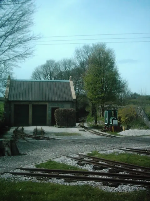
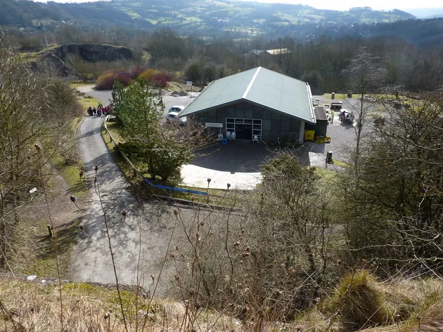
Middleton or Middleton-by-Wirksworth is an upland village and civil parish lying approximately one mile NNW of Wirksworth, Derbyshire, England. Middleton was, in 1086, a berewick (a supporting farm) of the town and manor of Wirksworth. Middleton was formerly known for its lead mines and high quality limestone quarries, including the underground quarry site at Middleton Mine. The Middleton Mine networks underground for approximately 25 miles (40 km) with tunnels on three different levels running under Middleton Moor to the Hopton Wood quarry works at the other side of the hill below Ryder Point Works’. Part of the tunnel collapsed in the 1970s leaving a noticeable depression in the ground above on the eastern side of Middleton Moor. The population of the parish as taken at the 2011 Census was 775. The attraction towards Middleton becoming a village had much to do with the fact that it is one of the few Derbyshire villages in the limestone area that has a ‘perched’ water table due to the impervious volcanic rock and shale formations within its topology. The availability of water was the incentive behind it becoming a choice of settlement. Middleton formed originally in the Saxon times as a small farming hamlet which settled around a very high spring. The former Cromford and High Peak Railway passes close by the village. The local quarries were linked to this line by a short branch spur, Killer's Branch, part of which now forms the track bed of the Steeple Grange Light Railway. The branch line was operational until the late 1960s. In the 1970s, the disused track bed of the Cromford and High Peak Railway and some surrounding land were purchased by the Derbyshire County Council and the Peak Park Planning Board, who then worked collaboratively to turn the former railway into the 17-mile (27 km) High Peak Trail for walkers and cyclists. Middleton Top lies near the southern end of the trail, which starts at High Peak Junction. There is a car park and visitor centre at…
Excerpt from Wikipedia under CC BY-SA 4.0. See the source article linked in Sources below.
Background
Visiting
Middleton Mine has become filming location. Productions that have filmed here include Mission: Impossible – The Final Reckoning, and The Fantastic Four: First Steps (both 2025). The nearby Middle Peak Quarry was used to represent Narkina 5 in the Star Wars television programme Andor.
Sourced from Wikipedia under CC BY-SA 4.0.
- Coordinates
- 53.1009, -1.5885
- County
- Derbyshire
- District
- Derbyshire Dales
- Parish
- Middleton
- Postcode
- DE4 4LB
- Parliamentary constituency
- Derbyshire Dales
- Population
- 723
- Nearest railway station
- Recreation Ground Halt — 0.8 km
Sources
- wikidata: Q687333 (CC0)
- wikipedia: Middleton-by-Wirksworth (CC BY-SA 4.0)
- commons: Middleton-by-Wirksworth - geograph.org.uk - 453781.jpg (CC BY-SA 4.0)
Other places nearby
Loading nearby places…
Nearby
 📷 5
📷 5Caves · East Midlands
Gell's Adit
Gell's Adit — a cave broad in england-east-midlands, United Kingdom.
 📷 3
📷 3Natural landmarks · East Midlands
Middleton Top Winding Engine
Middleton Top Winding Engine — a other in england-east-midlands, United Kingdom.
Campsites · East Midlands
Middleton Top Campsite (Caravan & Camping Club)
Middleton Top Campsite (Caravan & Camping Club) — a campsite in england east midlands.
 📷 3
📷 3Heritage railways · East Midlands
Steeple Grange Light Railway
Steeple Grange Light Railway is a heritage railway in the United Kingdom.
 📷 5
📷 5Caves · East Midlands
Slaley Sough
Slaley Sough — a cave broad in england-east-midlands, United Kingdom.
 📷 3
📷 3Museums · East Midlands
National Stone Centre
National Stone Centre is a museum in the United Kingdom.
More towns in this region
 Flagship📷 3
Towns & cities · East Midlands
Aldborough
Aldborough — village in Norfolk, England, UK.
 Flagship📷 4
Towns & cities · East Midlands
Alderford
Alderford — village and civil parish in Norfolk, UK.
 Flagship📷 5
Towns & cities · East Midlands
Ashmanhaugh
Ashmanhaugh — village in Norfolk, England, UK.
 Flagship📷 3
Towns & cities · East Midlands
Attlebridge
Attlebridge — a village located in Broadland, United Kingdom.
Frequently asked questions
- Where is Middleton?
- Middleton is in Derbyshire, the East Midlands, United Kingdom (postcode DE4 4LB), in the parish of Middleton.
- Is Middleton a protected site?
- Yes — Middleton is part of the Via Gellia Woodlands SSSI Site of Special Scientific Interest.
- Is Middleton free to visit?
- Yes, Middleton is free to enter.
- How do I get to Middleton?
- The nearest railway station is Recreation Ground Halt, about 0.8 km away. Drivers can navigate to postcode DE4 4LB.