Historic bridges · East Midlands
Middle Street
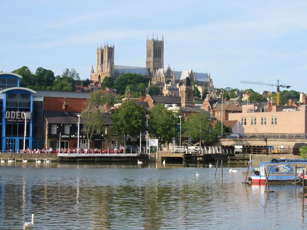
Middle Street is a historic bridge in the United Kingdom.

Alan Heardman — CC BY-SA 2.0 via Wikimedia Commons licence
_-_View_of_Burton_Road_Bridge_-_geograph.org.uk_-_2668646.jpg)
Plan your visit
- Typical visit
- 15 min–30 min
- Nearest railway station
- Lincoln · 3.1 km
- Free entry
- Dog-friendly
About
Middle Street is a named historic bridge in the United Kingdom. Coordinates: 53.2528°, -0.5550°. This entry is part of The Great Britain Guide, a free, ad-free, open-data tourist directory.
Photo gallery
From the Wikipedia article
Middle Street is a downtown street in Portland, Maine, United States. Dating to 1724 (although part of it was a path established by ancient settlers), it runs for around 0.46 miles (0.74 km), from an intersection with Union Street, Spring Street and Temple Street in the southwest, to Hancock Street, at the foot of Munjoy Hill, in the northeast. It formerly originated at what was then known as Market Square (today's Monument Square), but 20th-century redevelopment saw the section between Monument Square and Free Street pedestrianized, and the remaining section—around The Maine Lobsterman monument on Temple Street—erased. Near its midsection, Middle Street crosses Franklin Street. In 1756, when Franklin Street was laid out between Middle Street and Back Street (today's Congress Street), it was known as Fiddle Street. In the early 1950s, the newly created Slum Clearance and Redevelopment Authority Vine-Deer-Chatham project demolished Portland's Little Italy, which was bounded by Franklin Street to the east, Fore Street to the south, Pearl Street to the west and Middle Street to the north. The head of Deer Street was opposite the Thompson Block at 117–125 Middle Street. Middle Street, which is named for its position between Congress Street and Fore Street, passes through Portland's Old Port district. A creek once flowed up from Clay Cove, the original commercial center of Portland, to Turkey Lane (today's Newbury Street). It was large enough that ships used to sail up it past Middle Street, where an arch was built over the creek.
Excerpt from Wikipedia under CC BY-SA 4.0. See the source article linked in Sources below.
- Coordinates
- 53.2528, -0.5550
- County
- Lincolnshire
- District
- Lincoln
- Parish
- Lincoln, unparished area
- Postcode
- LN1 3XE
- Parliamentary constituency
- Lincoln
- Nearest railway station
- Lincoln — 3.1 km
Sources
- osm: w35577233 (ODbL)
- wikipedia: Middle Street (CC BY-SA 4.0)
Other places nearby
Loading nearby places…
Nearby
 Flagship📷 5
Towns & cities · East Midlands
Lincoln
Lincoln — cathedral city and county town of Lincolnshire, England, UK.
 📷 5
📷 5Historic churches · East Midlands
Burton, Lincolnshire
Burton, Lincolnshire — a church in england-east-midlands, United Kingdom.
 📷 3
📷 3Theatres · East Midlands
Venue
Venue in England East Midlands, United Kingdom.
Cinemas · East Midlands
The Venue
The Venue — a cinema in england east midlands.
 📷 3
📷 3Theatres · East Midlands
Radion Cinema
Radion Cinema in England East Midlands, United Kingdom.
 📷 3
📷 3Mills · East Midlands
Ellis's Mill
Ellis's Mill — mill in Lincoln, Lincolnshire, England, UK.
More bridges in this region
 📷 3
📷 3Historic bridges · East Midlands
Ashford Bridge
Ashford Bridge is a historic bridge in the United Kingdom.
 📷 3
📷 3Historic bridges · East Midlands
Ashopton Viaduct
Ashopton Viaduct is a historic bridge in the United Kingdom.
 📷 3
📷 3Historic bridges · East Midlands
Averham Viaduct
Averham Viaduct is a historic bridge in the United Kingdom.
 📷 3
📷 3Historic bridges · East Midlands
Bakewell Bridge
Bakewell Bridge is a historic bridge in the United Kingdom.
Frequently asked questions
- Where is Middle Street?
- Middle Street is in Lincolnshire, the East Midlands, United Kingdom (postcode LN1 3XE), in the parish of Lincoln, unparished area.
- Is Middle Street free to visit?
- Yes, Middle Street is free to enter.
- How do I get to Middle Street?
- The nearest railway station is Lincoln, about 3.1 km away. Drivers can navigate to postcode LN1 3XE.