Archaeological sites · London
Merry Hill
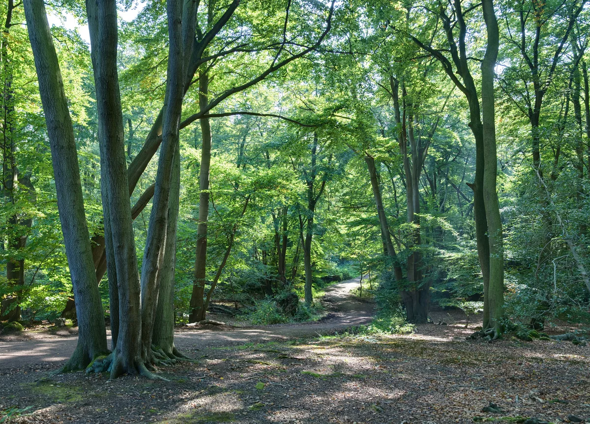
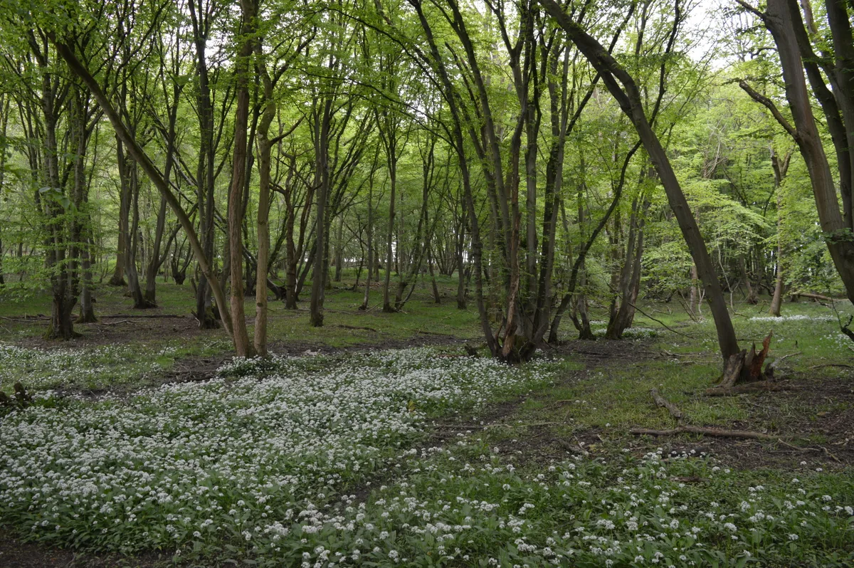
Merry Hill — wood in Hertfordshire, England.
.jpg?width=1200)
Wikimedia Commons licence
Plan your visit
- Typical visit
- 45 min–1.5 h
- Nearest railway station
- Carpenders Park · 1.1 km
- Free entry
- Dog-friendly
About
Merry Hill is an archaeological site in the United Kingdom. Wikidata describes it as: "wood in Hertfordshire, England". Coordinates: 51.6310°, -0.3700°.
Photo gallery
Protected designations
- Area of Outstanding Natural Beauty: Chilterns
Designations sourced from Natural England open data under OGL v3.
From the Wikipedia article
Merry Hill is a 76 hectare partly wooded area in Hertfordshire, England, managed by the Woodland Trust. To the north is Oxhey Village and Bushey, to the west is South Oxhey and Carpenders Park, to the south is Hatch End and Harrow Weald, and to the north-east is Bushey Heath. The Woodland Trust acquired part of the site in 1996, and carried out tree-planting; part of the new woodland has been given the name Little Hartsbourne Wood. In 1998 the Trust took a lease on another area which has been planted with fruit trees. Merry Hill is also the name of a southwestern area of Bushey Village. The view from Merry Hill can reach as far as Windsor near London.
Excerpt from Wikipedia under CC BY-SA 4.0. See the source article linked in Sources below.
- Coordinates
- 51.6310, -0.3700
- County
- Hertfordshire
- District
- Three Rivers
- Parish
- Watford Rural
- Postcode
- WD19 5AE
- Parliamentary constituency
- South West Hertfordshire
- Nearest railway station
- Carpenders Park — 1.1 km
Sources
- wikidata: Q62274539 (CC0)
- wikipedia: Merry Hill, Hertfordshire (CC BY-SA 4.0)
Other places nearby
Loading nearby places…
Nearby
 📷 5
📷 5Cemeteries · London
Carpenders Park Lawn Cemetery
Carpenders Park Lawn Cemetery is a cemetery in the United Kingdom.
 📷 5
📷 5Memorials & monuments · London
Bushey War Memorial
Bushey War Memorial — Grade II listed building-listed memorial in england-london, United Kingdom.
📷 5Historic churches · London
St. Hilda's School, Bushey
St. Hilda's School, Bushey — a school heritage in england-london, United Kingdom.
📷 5Museums · London
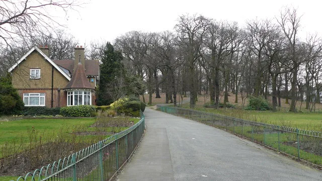
Bushey
Bushey is a town in the Hertsmere borough of Hertfordshire in the East of England. It had a population of 25,328 in the 2011 census, rising to 28,416 in the 2021 census, an increase of 12.19%. This ma
 📷 5
📷 5Memorials & monuments · London
Norman Shaw, Frederick Goodall, W.S. Gilbert
Norman Shaw, Frederick Goodall, W.S. Gilbert — a memorial in england-london, United Kingdom.
📷 5Manor houses · London
Grim's Dyke Hotel
Grim's Dyke Hotel — a manor in england-london, United Kingdom.
More archaeological sites in this region
 Flagship📷 10
Archaeological sites · London
Epping Forest
Epping Forest — royal forest in England.
 Flagship📷 10
Archaeological sites · London
Grangewood Park
Grangewood Park — park in the United Kingdom.
 Flagship📷 10
Archaeological sites · London
Nunn Wood
Nunn Wood — woods in Essex, England, a Site of Special Scientific Interest.
 📷 5
📷 5Archaeological sites · London
A Bronze Age post alignment and timber platform at Flag Fen and associated Bronze Age and later field systems and settlement to
A Bronze Age post alignment and timber platform at Flag Fen and associated Bronze Age and later field systems and settlement to — archaeological site in Thorney, City of Peterborough, England, UK.
Frequently asked questions
- Where is Merry Hill?
- Merry Hill is in Hertfordshire, London, United Kingdom (postcode WD19 5AE), in the parish of Watford Rural.
- Is Merry Hill a protected site?
- Yes — Merry Hill is part of the Chilterns National Landscape (AONB).
- How do I get to Merry Hill?
- The nearest railway station is Carpenders Park, about 1.1 km away. Drivers can navigate to postcode WD19 5AE.