Forests & woodlands · West Midlands
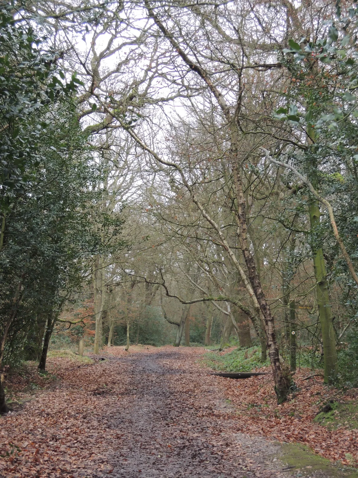
Merrion’s Wood
Merrion’s Wood is a forest or woodland in the United Kingdom.

Wikimedia Commons contributors — see linked file page for photographer and licence licence
Plan your visit
- Typical visit
- 1 h–3 h
- Nearest railway station
- Tame Bridge Parkway · 2.7 km
- Free entry
- Family-friendly
- Dog-friendly
About
Merrion’s Wood is a named forest, woodland or nature reserve in the United Kingdom. Coordinates: 52.5614°, -1.9392°. This entry is part of The Great Britain Guide, a free, ad-free, open-data tourist directory.
Photo gallery
Place summary
Merrion’s Wood is a forest located in the West Midlands, within the unparished area of Sandwell. This green space offers a natural environment for walking and wildlife observation.
AI-generated from the structured facts on this page (operator, designation, listing, era). Not a substitute for visiting.
- Coordinates
- 52.5614, -1.9392
- District
- Sandwell
- Parish
- Sandwell, unparished area
- Postcode
- B43 7AS
- Parliamentary constituency
- West Bromwich
- Nearest railway station
- Tame Bridge Parkway — 2.7 km
Sources
- osm: w44061480 (ODbL)
- commons: Merrions Wood Walsall - panoramio.jpg (CC BY-SA 4.0)
Other places nearby
Loading nearby places…
Nearby
 📷 3
📷 3Archaeological sites · West Midlands
Merrion's Wood
Merrion's Wood — woodland nature reserve in Walsall, England.
 📷 3
📷 3Memorials & monuments · West Midlands
Blue Plaque: Merrions Wood
Blue Plaque: Merrions Wood — a memorial in england-west-midlands, United Kingdom.
 📷 3
📷 3Memorials & monuments · West Midlands
War Memorial Cross at the Church of St Margaret, Great Barr
War Memorial Cross at the Church of St Margaret, Great Barr — Grade II listed building-listed memorial in england-west-midlands, United Kingdom.
 📷 3
📷 3Historic bridges · West Midlands
Hill Farm Bridge, Brackenhall Drive Rushall Canal
Hill Farm Bridge, Brackenhall Drive Rushall Canal — Grade II listed building-listed bridge in england-west-midlands, United Kingdom.
 📷 3
📷 3Manor houses · West Midlands
Great Barr Hall
Great Barr Hall — a manor in england-west-midlands, United Kingdom.
 📷 3
📷 3Historic churches · West Midlands
Annunciation Church
Annunciation Church — church in Walsall, United Kingdom.
More forests in this region
 📷 3
📷 3Forests & woodlands · West Midlands
Abington Meadows Nature Reserve
Abington Meadows Nature Reserve is a forest or woodland in the United Kingdom.
_(geograph_2935627).jpg?width=1200) 📷 3
📷 3Forests & woodlands · West Midlands
Adderbury Lakes
Adderbury Lakes is a forest or woodland in the United Kingdom.
 📷 3
📷 3Forests & woodlands · West Midlands
Alcott Wood
Alcott Wood is a forest or woodland in the United Kingdom.
 📷 3
📷 3Forests & woodlands · West Midlands
Alvecote Meadows Nature Reserve
Alvecote Meadows Nature Reserve is a forest or woodland in the United Kingdom.
Frequently asked questions
- Where is Merrion’s Wood?
- Merrion’s Wood is in the West Midlands, United Kingdom (postcode B43 7AS), in the parish of Sandwell, unparished area.
- Is Merrion’s Wood free to visit?
- Yes, Merrion’s Wood is free to enter.
- How do I get to Merrion’s Wood?
- The nearest railway station is Tame Bridge Parkway, about 2.7 km away. Drivers can navigate to postcode B43 7AS.