Archaeological sites · London
Medieval ridge and furrow fieldmarks
Medieval ridge and furrow fieldmarks — a archaeological in england-london, United Kingdom.

John Sutton — CC BY-SA 2.0 via Wikimedia Commons licence
Plan your visit
- Typical visit
- 45 min–1.5 h
- Free entry
- Dog-friendly
About
Medieval ridge and furrow fieldmarks is a archaeological located in england-london, United Kingdom. Sourced from OpenStreetMap (ODbL licence); see local listings for visitor information, opening hours and admission details.
Photo gallery
Place summary
Medieval ridge and furrow fieldmarks are archaeological features located in London. These earthworks, created during the medieval period for agricultural purposes, are distinctive for their characteristic ridged patterns. They provide insight into historical farming practices and land use in the region.
AI-generated from the structured facts on this page (operator, designation, listing, era). Not a substitute for visiting.
- Coordinates
- 52.2928, 0.0952
- County
- Cambridgeshire
- District
- South Cambridgeshire
- Parish
- Rampton
- Postcode
- CB24 8QA
- Parliamentary constituency
- Ely and East Cambridgeshire
Sources
- osm: node/11112405735 (ODbL)
Other places nearby
Loading nearby places…
Nearby
 📷 5
📷 5Archaeological sites · London
Site of medieval Rampton
Site of medieval Rampton — a archaeological in england-london, United Kingdom.
 📷 5
📷 5Castles · London
Rampton Castle
Rampton Castle, known locally as Giant's Hill, is the earthwork remains of a motte and bailey castle in Rampton, Cambridgeshire. It is believed that the castle was constructed during The Anarchy by th
📷 5Castles · London
Giant's Hill
Giant's Hill — a castle in england-london, United Kingdom.
 📷 5
📷 5Public art & sculpture · London
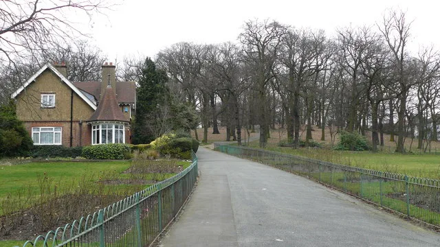
Rampton
Rampton — a public art in england-london, United Kingdom.
 📷 5
📷 5Mills · London
Tower Mill
Tower Mill — mill in Cottenham, South Cambridgeshire, England, UK.
 📷 5
📷 5Public art & sculpture · London
Unity Lake Sign
Unity Lake Sign — a public art in england-london, United Kingdom.
More archaeological sites in this region
 Flagship📷 10
Archaeological sites · London
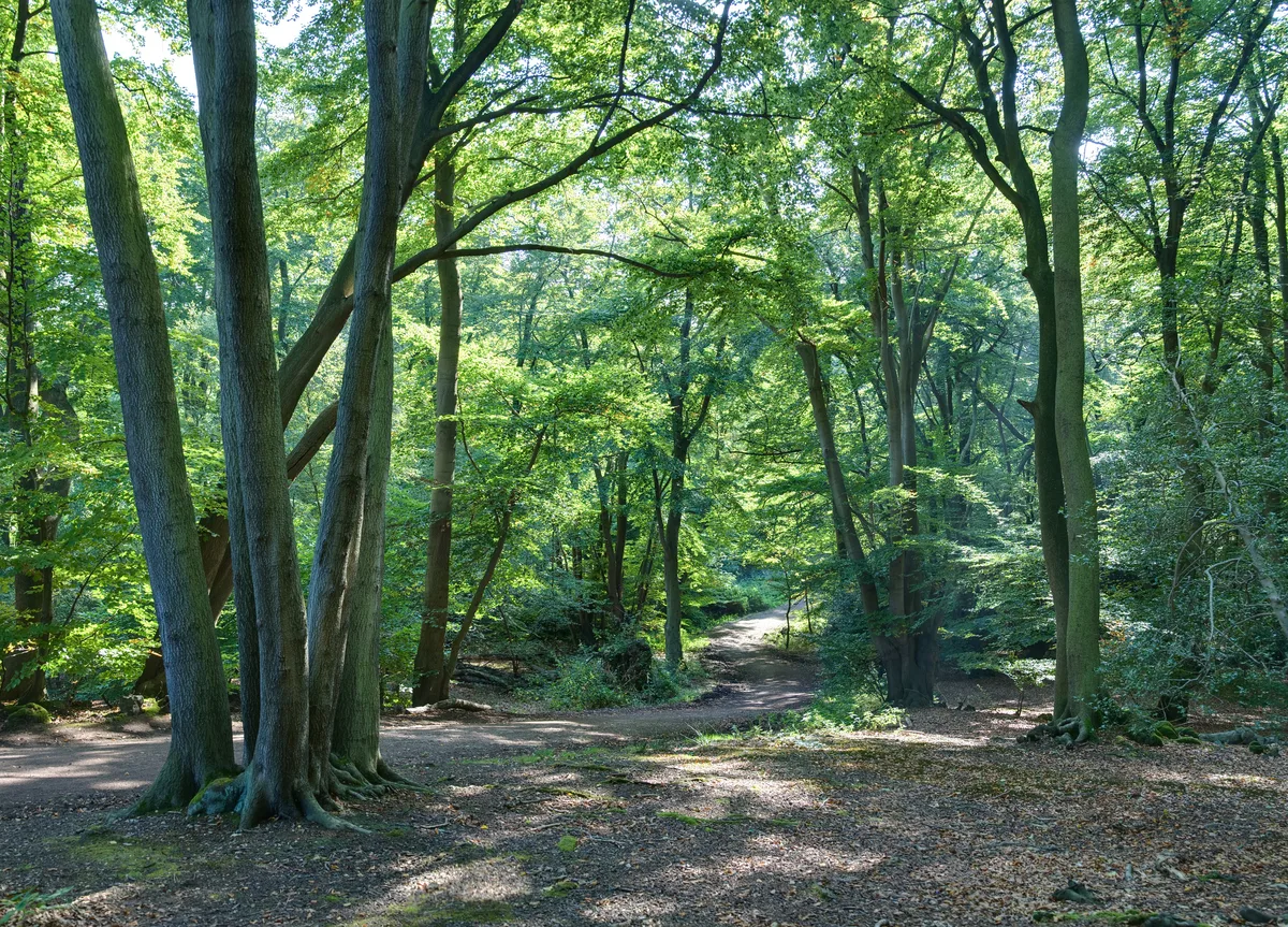
Epping Forest
Epping Forest — royal forest in England.
 Flagship📷 10
Archaeological sites · London
Grangewood Park
Grangewood Park — park in the United Kingdom.
 Flagship📷 10
Archaeological sites · London
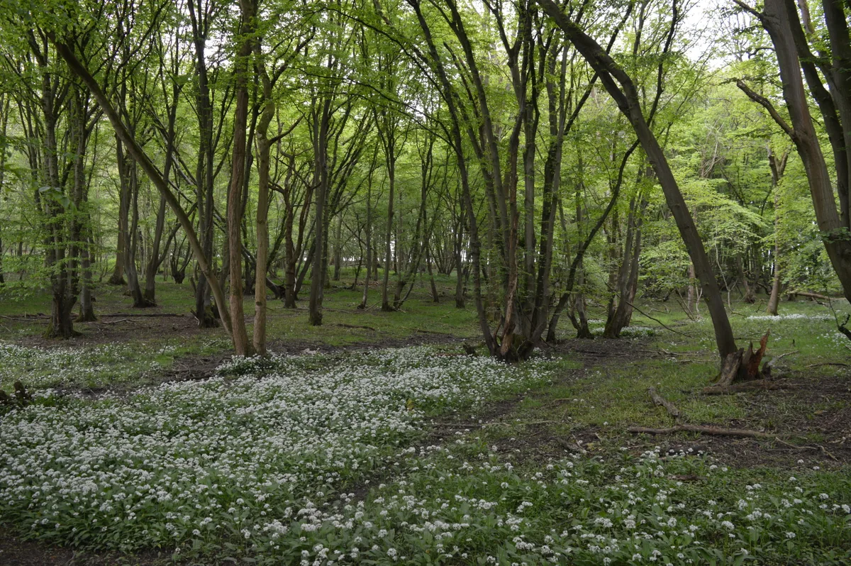
Nunn Wood
Nunn Wood — woods in Essex, England, a Site of Special Scientific Interest.
 📷 5
📷 5Archaeological sites · London
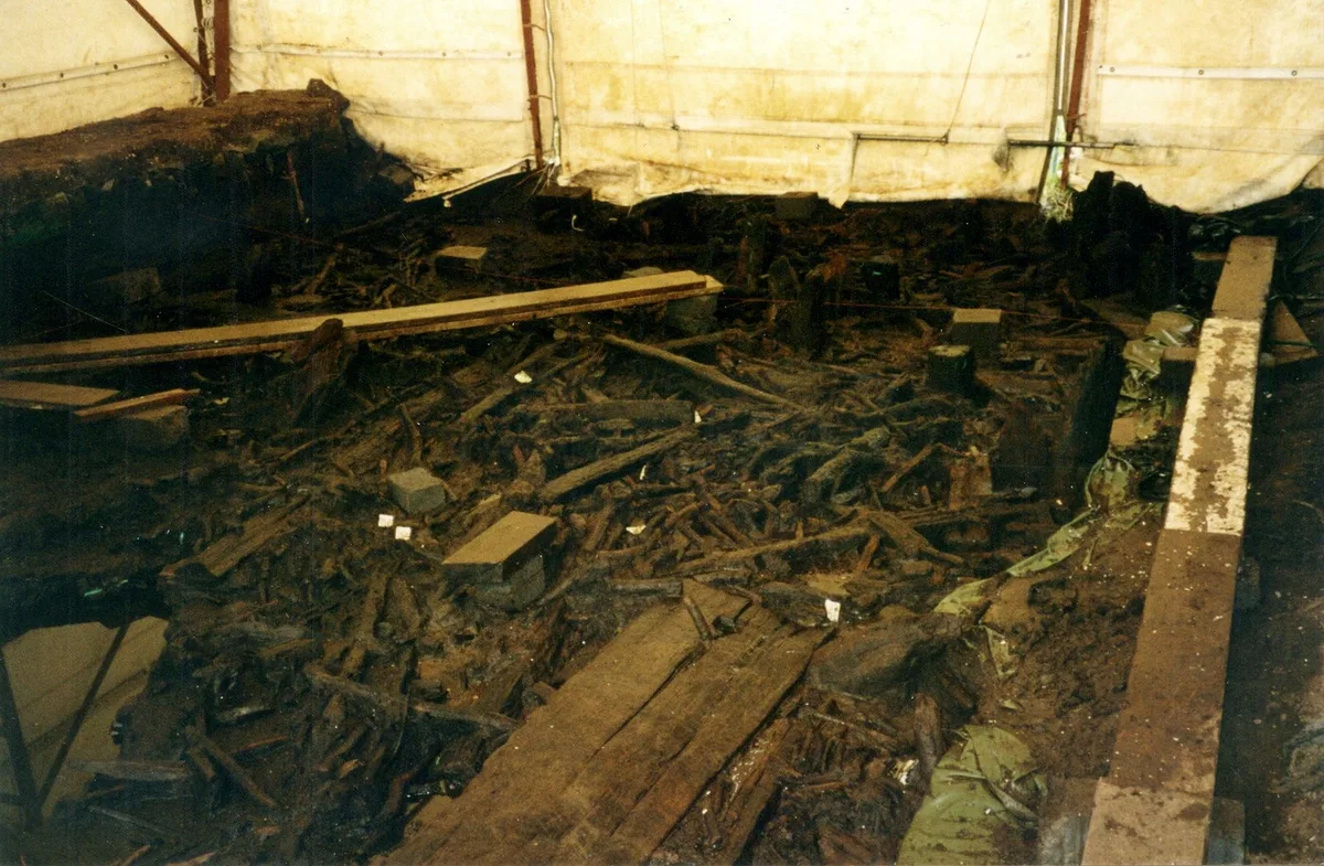
A Bronze Age post alignment and timber platform at Flag Fen and associated Bronze Age and later field systems and settlement to
A Bronze Age post alignment and timber platform at Flag Fen and associated Bronze Age and later field systems and settlement to — archaeological site in Thorney, City of Peterborough, England, UK.
Frequently asked questions
- Where is Medieval ridge and furrow fieldmarks?
- Medieval ridge and furrow fieldmarks is in London, in the United Kingdom — coordinates 52.2928°, 0.0952°.
- Is Medieval ridge and furrow fieldmarks free to visit?
- Yes — admission to Medieval ridge and furrow fieldmarks is free.