Mountains & hills · Scottish Highlands
Meall Glas
Also known as: Am Meall Glas
Meall Glas — Named summit at 959 m.

Wikimedia Commons contributors — see linked file page for photographer and licence licence
Plan your visit
- Typical visit
- 3 h–8 h
- Best time of year
- Late spring – early autumn (May–Oct)
- Nearest railway station
- Crianlarich · 8.5 km
- Free entry
- Dog-friendly
About
Meall Glas is a named summit in the United Kingdom. Wikidata describes it as: "Named summit at 959 m.". Coordinates: 56.4559°, -4.5466°.
Photo gallery
From the Wikipedia article
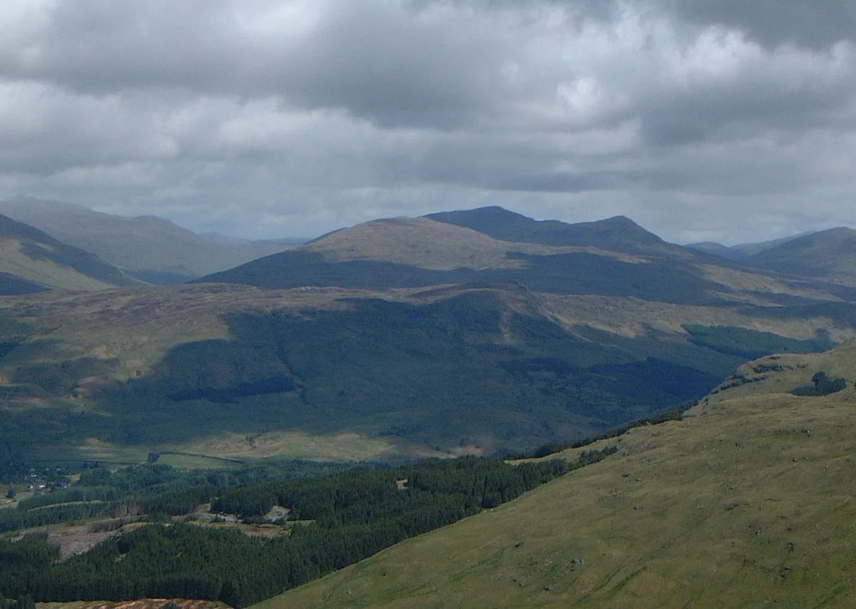
Meall Glas is a mountain situated in the southern highlands of Scotland. It stands on the northern border of the Loch Lomond and the Trossachs National Park, 8.5 kilometres north east of Crianlarich.
Excerpt from Wikipedia under CC BY-SA 4.0. See the source article linked in Sources below.
Background
Description
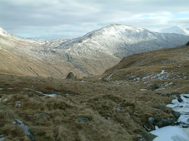
Meall Glas has Munro status with a height of 959 m. It is the highest point of the high rolling uplands between Glen Lochay and Glen Dochart, an area lacking distinctive mountainous character. Another Munro, Sgiath Chuil, lies 2 km to the east; the Corbett Beinn nan Imirean is 2 km to the south west. The three hills can be climbed together in the same walk. Meall Glas is overshadowed by the more impressive mountains around Crianlarich. Its name, which translates from the Gaelic as “Greenish-grey hill” suggests its topographic character. It was probably named by the inhabitants of Glen Lochay to which it shows its more impressive northern outline, with the summit ridge seen as a curving…
Sourced from Wikipedia under CC BY-SA 4.0.
- Coordinates
- 56.4559, -4.5466
- Address
- Stirlingshire, Scotland
- Nearest railway station
- Crianlarich — 8.5 km
- Official site
- www.walkhighlands.co.uk
Sources
- osm: n258829589 (ODbL)
- wikipedia: Meall Glas (CC BY-SA 4.0)
- commons: Meall Glas group from the SW.jpg (CC BY-SA 4.0)
Other places nearby
Loading nearby places…
Nearby
 📷 3
📷 3Natural landmarks · Scottish Highlands
Meall Glas
Meall Glas — 959m high mountain in Stirling, Scotland, UK.
 📷 3
📷 3Mountains & hills · Scottish Highlands
Beinn Cheathaich
Beinn Cheathaich — Named summit at 937 m.
 📷 3
📷 3Mountains & hills · Scottish Highlands
Beinn nan Imirean
Beinn nan Imirean — a mountain in scotland-highlands, United Kingdom.
 📷 3
📷 3Archaeological sites · Scottish Highlands
Herring Stone
Herring Stone — a archaeological in scotland-highlands, United Kingdom.
 📷 3
📷 3Mountains & hills · Central Scotland
Sgiath Chuil - Meall a' Churain
Sgiath Chuil - Meall a' Churain — a mountain in scotland-central, United Kingdom.
 📷 3
📷 3Natural landmarks · Central Scotland
Sgiath Chùil
Sgiath Chùil — 920m high mountain in Stirling, Scotland, UK.
More mountains in this region
 📷 3
📷 3Mountains & hills · Scottish Highlands
A' Bhuidheanach Bheag
A' Bhuidheanach Bheag — Named summit at 936 m.
 📷 3
📷 3Mountains & hills · Scottish Highlands
A' Chailleach
A' Chailleach — Named summit at 997 m.
 📷 3
📷 3Mountains & hills · Scottish Highlands
A' Chailleach
A' Chailleach — Named summit at 930 m.
 📷 3
📷 3Mountains & hills · Scottish Highlands
A' Chaoirnich
A' Chaoirnich — Named summit at 875 m.
Frequently asked questions
- Where is Meall Glas?
- Meall Glas is in Scottish Highlands, in the United Kingdom — coordinates 56.4559°, -4.5466°. The nearest railway station is Crianlarich, around 8.5 km away.
- Is Meall Glas free to visit?
- Yes — admission to Meall Glas is free.