Towns & cities · London
Maulden
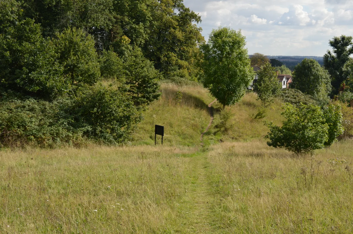
Maulden — village and civil parish in Bedfordshire, UK.

Wikimedia Commons contributors — see linked file page for photographer and licence licence
Plan your visit
- Typical visit
- 3 h–6 h
- Nearest railway station
- Flitwick · 3.4 km
- Free entry
- Family-friendly
- Dog-friendly
About
Maulden is a town, city, village or settlement in the United Kingdom. Recent population estimates put it at around 3,132 people. Address: MK45. Wikidata describes it as: "village and civil parish in Bedfordshire, UK". Coordinates: 52.0300°, -0.4700°.
Photo gallery
From the Wikipedia article
Maulden is a village and civil parish located in the county of Bedfordshire. The village is located 1.5 miles east of Ampthill and about 8 miles (13 km) south of Bedford. It has about 1,250 homes and 3130 residents. Maulden is referred to in the Domesday Book as Meldone and the meanings ascribed to the various versions of the name include "cross on the hill", "high down" and "place of meeting". The village forms part of the Ampthill ward in the administrative area of Central Bedfordshire. An active Parish Council meets every five weeks – the clerk is Tracey Bearton.
Excerpt from Wikipedia under CC BY-SA 4.0. See the source article linked in Sources below.
Background
History
Maulden was a parish in the union of Ampthill, hundred of Redbornestoke, county of Bedford, miles from Ampthill; containing 1331 inhabitants. The parish comprised nearly 3000 acres (12 km<sup>2</sup>), of which 260 were woodland and plantations, and of the remainder, two-thirds were arable and one third pasture. Many of the women were employed in lacemaking and the plaiting of straw. There were some quarries of sandstone; and a pleasure fair was held in the week nearest to St. Bartholomews-day. The living was a rectory, valued in the King's books at £15.9.7; net income £512; patron, the Marquess of Ailesbury. The tithes were commuted for land and a corn rent, under an act of enclosure in…
Sourced from Wikipedia under CC BY-SA 4.0.
- Coordinates
- 52.0300, -0.4700
- District
- Central Bedfordshire
- Parish
- Maulden
- Postcode
- MK45
- Parliamentary constituency
- Mid Bedfordshire
- Population
- 3,132
- Nearest railway station
- Flitwick — 3.4 km
- Official site
- www.neighbourhood.statistics.gov.uk
Sources
- wikidata: Q1522892 (CC0)
- wikipedia: Maulden (CC BY-SA 4.0)
- commons: AilesburyMausoleum Maulden Bedfordshire.jpg (CC BY-SA 4.0)
Other places nearby
Loading nearby places…
Nearby
 📷 5
📷 5Memorials & monuments · London
Ailesbury Mausoleum
Ailesbury Mausoleum is a memorial in the United Kingdom.
 📷 5
📷 5Wildlife reserves · London
Cut-throat Meadow
Cut-throat Meadow — nature reserve in the United Kingdom.
 📷 5
📷 5Museums · London
Ampthill
Ampthill () is a town and civil parish in the Central Bedfordshire district of Bedfordshire, England. It lies between Bedford and Luton. At the 2021 census it had a population of 8,825.
Cafés · London
The Cupcake Bar
The Cupcake Bar — a café in england london.
 📷 4
📷 4Theatres · East of England
Kinema
Kinema in England East, United Kingdom.
 📷 5
📷 5Historic houses · London
Pump and signpost in Market Place
Pump and signpost in Market Place — a Grade II*-listed historic house in england-london, United Kingdom.
More towns in this region
 Flagship📷 10
Towns & cities · London
Aldenham
Aldenham — village and civil parish in Hertfordshire, England.
 Flagship📷 10
Towns & cities · London
Ashdon
Ashdon — village and civil parish in Essex, UK.
 Flagship📷 10
Towns & cities · London
Betchworth
Betchworth — village and civil parish in the Mole Valley district of Surrey, England.
 Flagship📷 10
Towns & cities · London
Boxley
Boxley — village and civil parish in Maidstone District, Kent, England, UK.
Frequently asked questions
- Where is Maulden?
- Maulden is in London, United Kingdom (postcode MK45), in the parish of Maulden.
- Is Maulden free to visit?
- Yes, Maulden is free to enter.
- How do I get to Maulden?
- The nearest railway station is Flitwick, about 3.4 km away. Drivers can navigate to postcode MK45.