Beaches · South Wales
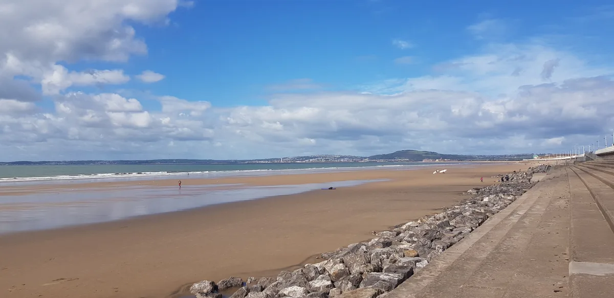
Margam Sands
Margam Sands is a beach in the United Kingdom.

Gareth James — CC BY-SA 2.0 via Wikimedia Commons licence
Plan your visit
- Typical visit
- 1 h–3 h
- Best time of year
- Summer (Jun–Aug)
- Nearest railway station
- Port Talbot Parkway · 3.1 km
- Free entry
- Family-friendly
- Dog-friendly
About
Margam Sands is a named beach on the United Kingdom coastline. Coordinates: 51.5652°, -3.7874°. This entry is part of The Great Britain Guide, a free, ad-free, open-data tourist directory.
Photo gallery
From the Wikipedia article
Margam and Tai-bach is an electoral ward in Neath Port Talbot, Wales. It includes the communities of Margam, Margam Moors and Taibach. It elects three councillors to Neath Port Talbot County Borough Council. The ward was created following the recommendations of a local government boundary review, with the merger of the former Margam and Tai-bach wards. According to the 2011 UK Census, the population of the Margam ward was 5,927 and in the Tai-bach ward it was 4,799.
Excerpt from Wikipedia under CC BY-SA 4.0. See the source article linked in Sources below.
- Coordinates
- 51.5652, -3.7874
- District
- Neath Port Talbot
- Parish
- Margam Moors
- Postcode
- SA13 2NG
- Parliamentary constituency
- Aberafan Maesteg
- Nearest railway station
- Port Talbot Parkway — 3.1 km
Sources
- osm: w204832130 (ODbL)
- wikipedia: Margam and Tai-bach (CC BY-SA 4.0)
Other places nearby
Loading nearby places…
Nearby
 📷 3
📷 3Memorials & monuments · South Wales
Morfa Colliery Memorial
Morfa Colliery Memorial — a memorial in wales-south, United Kingdom.
 📷 2
📷 2Archaeological sites · South Wales
Hen Biniwn Grange (ruin)
Hen Biniwn Grange (ruin) — a archaeological in wales-south, United Kingdom.
 📷 3
📷 3Beaches · South Wales
Margam Sands
Margam Sands is a beach in the United Kingdom.
 📷 3
📷 3Chapels · South Wales
Beulah Welsh Calvinistic Methodist Chapel
Beulah Welsh Calvinistic Methodist Chapel — Calvinistic Methodist chapel in Margam.
 📷 3
📷 3Harbours & ports · South Wales
Port of Port Talbot
Port of Port Talbot is a harbour in the United Kingdom.
 📷 3
📷 3Memorials & monuments · South Wales
Port Talbot War Memorial
Port Talbot War Memorial is a memorial in the United Kingdom.
More beaches in this region
 📷 3
📷 3Beaches · South Wales
ABCC Meeting Point
ABCC Meeting Point is a beach in the United Kingdom.
 📷 3
📷 3Beaches · South Wales
Aber Castle
Aber Castle is a beach in the United Kingdom.
 📷 3
📷 3Beaches · South Wales
Aber Mawr
Aber Mawr is a beach in the United Kingdom.
 📷 4
📷 4Beaches · South Wales
Aberavon Beach
Aberavon Beach is a beach in the United Kingdom.
Frequently asked questions
- Where is Margam Sands?
- Margam Sands is in South Wales, United Kingdom (postcode SA13 2NG), in the parish of Margam Moors.
- Is Margam Sands free to visit?
- Yes, Margam Sands is free to enter.
- How do I get to Margam Sands?
- The nearest railway station is Port Talbot Parkway, about 3.1 km away. Drivers can navigate to postcode SA13 2NG.