Mountains & hills · North West England
Mardale Ill Bell
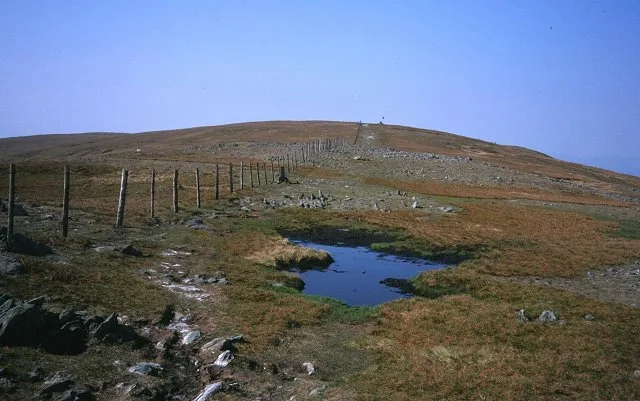
Mardale Ill Bell — Named summit at 760 m.

Wikimedia Commons contributors — see linked file page for photographer and licence licence
Plan your visit
- Typical visit
- 3 h–8 h
- Best time of year
- Late spring – early autumn (May–Oct)
- Free entry
- Dog-friendly
About
Mardale Ill Bell is a named summit in the United Kingdom. Wikidata describes it as: "Named summit at 760 m.". Coordinates: 54.4834°, -2.8541°.
Photo gallery
Protected designations
- Site of Special Scientific Interest: Blea Water SSSI
- Site of Special Scientific Interest: River Eden and Tributaries SSSI
Designations sourced from Natural England open data under OGL v3.
From the Wikipedia article
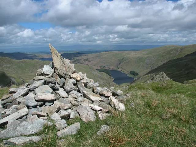
Mardale Ill Bell is a fell in the English Lake District, rising to the south west of Haweswater Reservoir. It stands on the watershed between Mardale and Kentmere and is the highpoint of the south-eastern ridge of High Street, midway on its course to Harter Fell.
Excerpt from Wikipedia under CC BY-SA 4.0. See the source article linked in Sources below.
- Coordinates
- 54.4834, -2.8541
- Address
- Cumbria, England
Sources
- osm: n5496836189 (ODbL)
- wikipedia: Mardale Ill Bell (CC BY-SA 4.0)
- commons: Mardale Ill Bell Summit Cairn. - geograph.org.uk - 182281.jpg (CC BY-SA 4.0)
Other places nearby
Loading nearby places…
Nearby
 📷 3
📷 3Natural landmarks · North West England
Mardale Ill Bell
Mardale Ill Bell — mountain in Cumbria, England, UK.
 📷 3
📷 3Natural landmarks · North West England
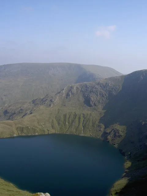
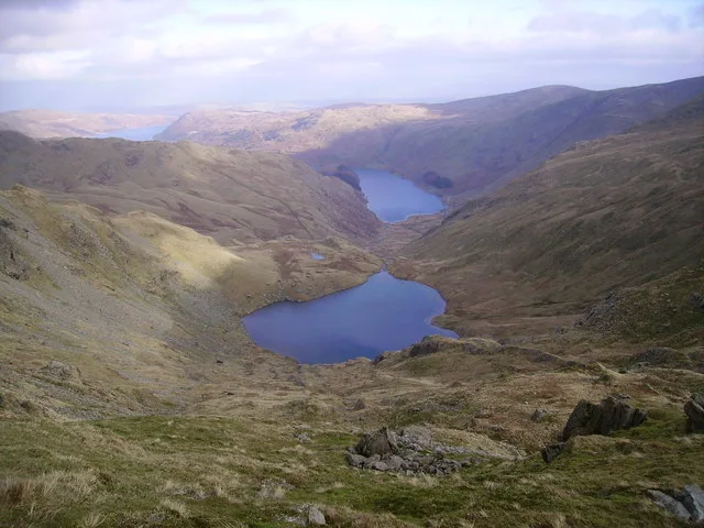
Blea Water
Blea Water — lake in the United Kingdom.
 📷 3
📷 3Natural landmarks · North West England
Small Water
Small Water — lake in United Kingdom.
 📷 3
📷 3Natural landmarks · North West England
High Street
High Street — fell in the English Lake District.
 📷 3
📷 3Mountains & hills · North West England
Harter Fell
Harter Fell — Named summit at 778 m.
 📷 3
📷 3Natural landmarks · North West England
Harter Fell
Harter Fell — mountain in Kentmere, Westmorland and Furness, Cumbria, England.
More mountains in this region
 📷 3
📷 3Mountains & hills · North West England
Allen Crags
Allen Crags — Named summit at 785 m.
 📷 3
📷 3Mountains & hills · North West England
Alum Pot
Alum Pot — Open shaft pothole in North Yorkshire.
 📷 3
📷 3Mountains & hills · North West England
Arnside Knott
Arnside Knott — Named summit at 159 m.
 📷 3
📷 3Mountains & hills · North West England
Aye Gill Pike
Aye Gill Pike — Named summit at 556.3 m.
Frequently asked questions
- Where is Mardale Ill Bell?
- Mardale Ill Bell is in North-West England, United Kingdom.
- Is Mardale Ill Bell a protected site?
- Yes — Mardale Ill Bell is part of the Blea Water SSSI Site of Special Scientific Interest and the River Eden and Tributaries SSSI Site of Special Scientific Interest.
- Is Mardale Ill Bell free to visit?
- Yes, Mardale Ill Bell is free to enter.