Historic churches · South East England
Manston, Kent
Manston, Kent — a church in england-south-east, United Kingdom.

John V Nicholls — CC BY-SA 2.0 via Wikimedia Commons licence
Plan your visit
- Typical visit
- 30 min–1 h
- Free entry
About
Manston, Kent is a church in england-south-east, United Kingdom, listed in the Wikipedia register of British heritage and tourism sites. See the linked Wikipedia article for full details.
Photo gallery
Place summary
Manston, Kent, is a church located in South-East England. It is known for its historical significance within the region. The church's architecture reflects the local ecclesiastical style, contributing to the area's cultural heritage.
AI-generated from the structured facts on this page (operator, designation, listing, era). Not a substitute for visiting.
Background
History
The discovery of an Anglo-Saxon sword at what is known as the Ozengell burial ground and also 200 graves including a Roman stone and lead-lined coffin, never preserved, show that the site has been occupied for many centuries. In June 1381 the Peasants' Revolt reached Manston. Two road names in the parish give clues to its past. Manston Court Road refers to Manston Court, the seat of the Manston family who held high office, including Richard de Manston at the time of King John (circa 1200) and William Manston, Sheriff of Kent in 1436; and Spratling Street gets its name from the Sprakling family who lived in Ellington in Ramsgate from 1558 to 1659, at a time when Manston was still a part of…
Description
St Catherine's Church was built in 1872 with monies raised by locals as a Chapel of ease for those of the St Lawrence Parish who were unable to attend the church in St Lawrence. The land was donated by the Vicar of St Lawrence, Rev. G. W. Sicklemore. There is a war memorial on the village green to those who served and died in the two world wars of the twentieth century. The village pub is The Jolly Farmer, located in what was in 1672 part of a pair of farm dwellings, and originally registered as a public house in November 1738 by Lazarus Haywood under the name "Jolly Farmers". It was leased to its first tenant Keeper, Samuel Packer (a boot and shoe maker from Ramsgate) in March 1739. During…
Sourced from Wikipedia under CC BY-SA 4.0.
- Coordinates
- 51.3460, 1.3700
- County
- Kent
- District
- Thanet
- Parish
- Manston
- Postcode
- CT12 5BB
- Parliamentary constituency
- Herne Bay and Sandwich
Sources
- wikipedia: Manston, Kent (CC BY-SA 4.0)
Other places nearby
Loading nearby places…
Nearby
📷 5Memorials & monuments · South East England
Manston War Memorial
Manston War Memorial — Grade II listed building-listed memorial in england-south-east, United Kingdom.
Caravan parks · South East England
Manston Caravan & Camping Park
Manston Caravan & Camping Park — a caravan park in england south east.
 📷 5
📷 5Other places · South East England
Defence Fire Training and Development Centre
Defence Fire Training and Development Centre — a other in england-south-east, United Kingdom.
📷 5Museums · South East England
RAF Manston
RAF Manston — a museum in england-south-east, United Kingdom.
 📷 5
📷 5Museums · South East England
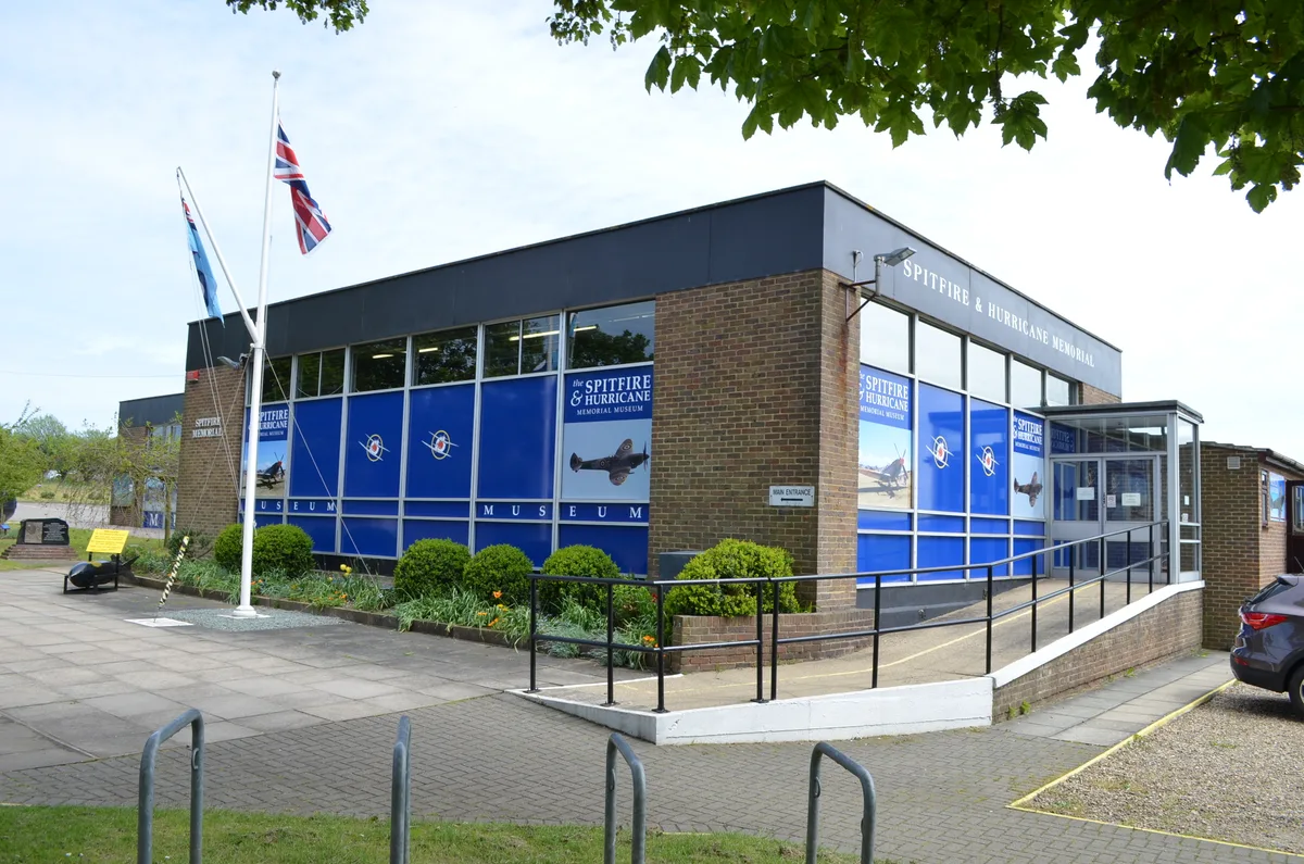
Spitfire and Hurricane Memorial Museum
Spitfire and Hurricane Memorial Museum — military museum in Manston, Thanet, Kent, England, United Kingdom.
 📷 5
📷 5Museums · South East England
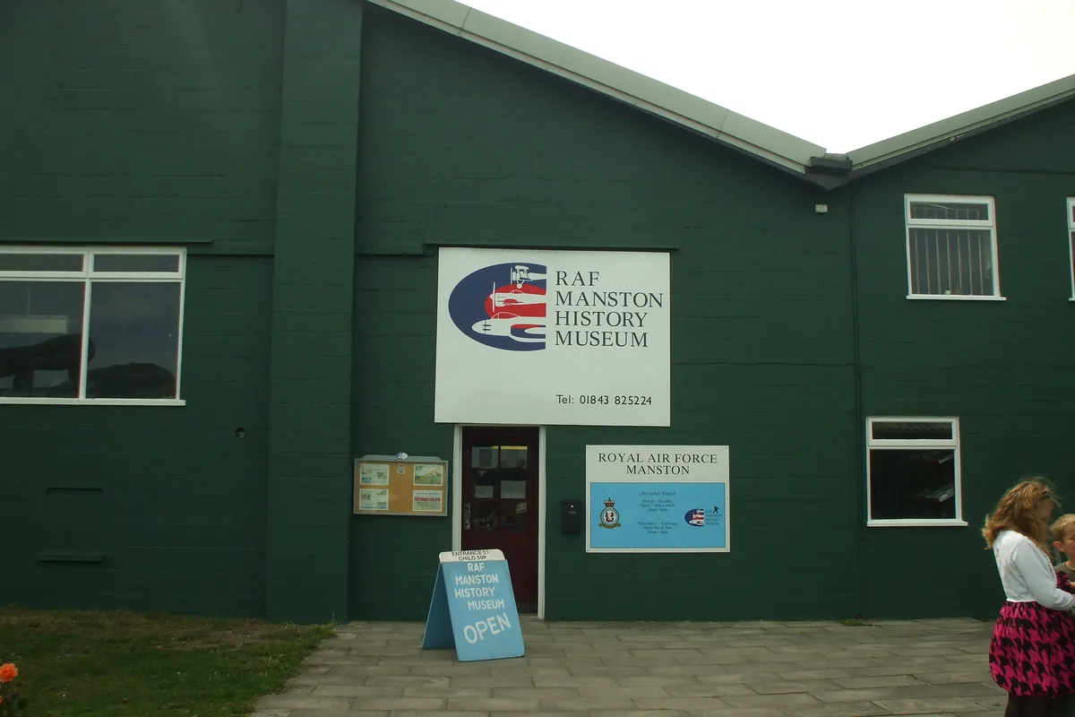
RAF Manston History Museum
RAF Manston History Museum is a museum in the United Kingdom.
More places in this region
 Flagship📷 10
Historic churches · South East England
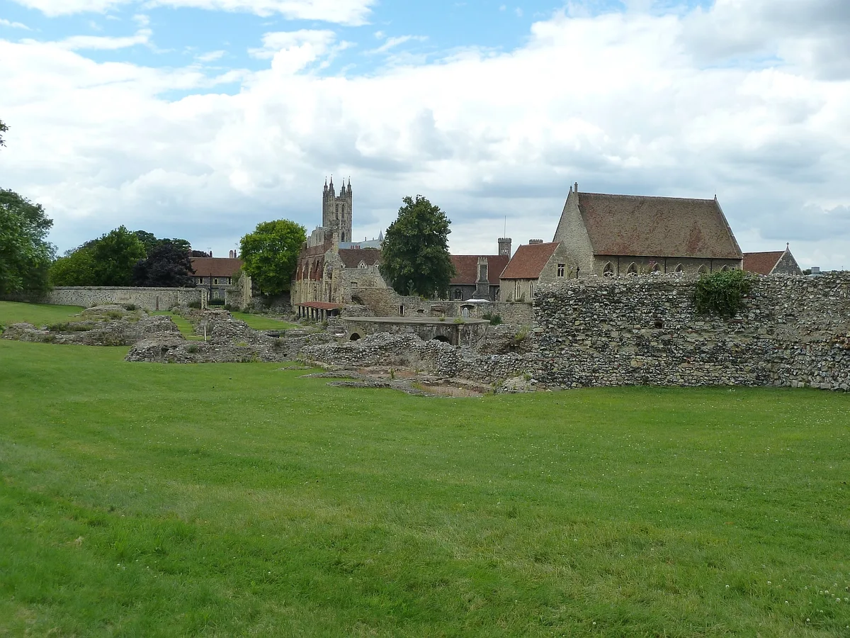
St Augustine's Abbey
St Augustine's Abbey — monastery in Canterbury, Kent, England, UK.
 📷 5
📷 5Historic churches · South East England
286
286 — church building in Swaythling, Southampton, England.
 📷 5
📷 5Historic churches · South East England
Abbey Church of St Gregory the Great, Downside Abbey
Abbey Church of St Gregory the Great, Downside Abbey — church in Stratton-on-the-Fosse, Somerset, England, UK.
 📷 5
📷 5Historic churches · South East England
Above Bar Church, Southampton
Above Bar Church, Southampton — church in Southampton, UK.
Frequently asked questions
- Where is Manston, Kent?
- Manston, Kent is in Kent, South-East England, United Kingdom (postcode CT12 5BB), in the parish of Manston.
- Is Manston, Kent free to visit?
- Yes, Manston, Kent is free to enter.
- How do I get to Manston, Kent?
- Drivers can navigate to postcode CT12 5BB. It sits within the Herne Bay and Sandwich parliamentary constituency.