Museums · South East England
Maidenhead
Maidenhead is a market town in the Royal Borough of Windsor and Maidenhead in the county of Berkshire, England. It lies on the southwestern bank of the River Thames, which at this point forms the bord

JThomas — CC BY-SA 2.0 via Wikimedia Commons licence
Plan your visit
- Typical visit
- 1.5 h–3 h
- Best time of year
- Year-round
- Family-friendly
- Limited wheelchair access
About
Maidenhead is a market town in the Royal Borough of Windsor and Maidenhead in the county of Berkshire, England. It lies on the southwestern bank of the River Thames, which at this point forms the border with Buckinghamshire. In the 2021 Census, the Maidenhead built-up area had a population of 67,375. The town is 27 miles (43 km) west of Charing Cross, London and 13 miles (21 km) east-northeast of Reading.
Photo gallery
From the Wikipedia article
Maidenhead is a market town in the Royal Borough of Windsor and Maidenhead in the county of Berkshire, England. It lies on the southwestern bank of the River Thames, which at this point forms the border with Buckinghamshire. In the 2021 Census, the Maidenhead built-up area had a population of 67,375. The town is 27 miles (43 km) west of Charing Cross, London and 13 miles (21 km) east-northeast of Reading.
Excerpt from Wikipedia under CC BY-SA 4.0. See the source article linked in Sources below.
Background
History
architecture—All Saints' Church, Boyne Hill]] The antiquary John Leland claimed that the area around Maidenhead's present town centre was a small Roman settlement called Alaunodunum. He stated that it had all but disappeared by the end of the Roman occupation. Although his source is unknown, there is documented and physical evidence of Roman settlement in the town. There are two well known villa sites in the town, one being in the suburb of Cox Green, and the other just west of the town centre on Castle Hill. This villa sat on the route of the Camlet Way which was a Roman road linking Silchester (Calleva Atrebatum) and Colchester (Camulodunum) via St Albans (Verulamium) and passes through…
Sourced from Wikipedia under CC BY-SA 4.0.
- Coordinates
- 51.5230, -0.7220
- District
- Windsor and Maidenhead
- Parish
- Windsor and Maidenhead, unparished area
- Postcode
- SL6 1DS
- Parliamentary constituency
- Maidenhead
Sources
- wikipedia: Maidenhead (CC BY-SA 4.0)
Other places nearby
Loading nearby places…
Nearby
📷 5Memorials & monuments · South East England
J. D. M. Pearce
J. D. M. Pearce — a memorial in england-south-east, United Kingdom.
 📷 5
📷 5Public art & sculpture · South East England
The Maidenhead Boy
The Maidenhead Boy — a public art in england-south-east, United Kingdom.
 📷 5
📷 5Historic churches · South East England
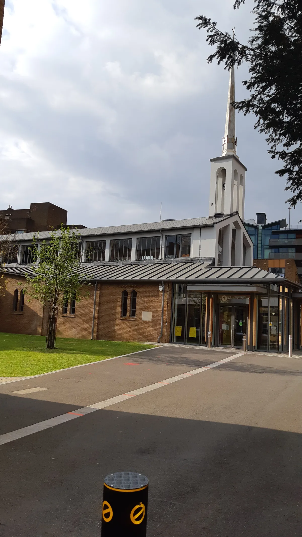
St Mary's Church
St Mary's Church — church in Maidenhead, Berkshire, England.
 📷 5
📷 5Theatres · South East England
Odeon Maidenhead
Odeon Maidenhead — a cinema heritage in england-south-east, United Kingdom.
 📷 5
📷 5Museums · South East England
Maidenhead Heritage Centre
Maidenhead Heritage Centre — a museum in england-south-east, United Kingdom.
 📷 5
📷 5Theatres · South East England
Amphitheatre
Amphitheatre is a theatre in the United Kingdom.
More museums in this region
 📷 5
📷 5Museums · South East England
Adjutant General's Corps Museum
Adjutant General's Corps Museum — military museum in Winchester, Hampshire, England, United Kingdom.
 📷 5
📷 5Museums · South East England
Alexander Keiller Museum
Alexander Keiller Museum — museum in South West England, United Kingdom.
 📷 5
📷 5Museums · South East England
Amberley Museum
Amberley Museum — open-air industrial museum in West Sussex, United Kingdom.
 📷 5
📷 5Museums · South East England
American Museum and Gardens
American Museum and Gardens — culture and arts museum near Bath, England, United Kingdom.
Frequently asked questions
- Where is Maidenhead?
- Maidenhead is in South East England, in the United Kingdom — coordinates 51.5230°, -0.7220°.
- Is Maidenhead wheelchair accessible?
- Partially — OpenStreetMap notes limited wheelchair access at Maidenhead. Check ahead for specific facilities.