Towns & cities · Northern Ireland
Lurganville
Lurganville — townland in Down, Northern Ireland.

Wikimedia Commons licence
Plan your visit
- Typical visit
- 3 h–6 h
- Nearest railway station
- Moira · 3.7 km
- Free entry
- Family-friendly
- Dog-friendly
About
Lurganville is a town, city, village or settlement in the United Kingdom. Wikidata describes it as: "townland in Down, Northern Ireland". Coordinates: 54.4630°, -6.1870°.
Photo gallery
From the Wikipedia article
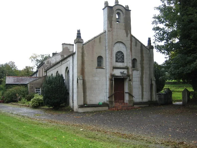
Lurganville (historically Lurganavill or Lurganaveel, from Irish Lorgain a' Mhíl, meaning 'long ridge of the hare') is a small village and townland in County Down, Northern Ireland. In the 2001 Census it had a population of 102 people. It is situated in the Lisburn City Council area. Locally significant buildings include St Colman's Church, which is a listed building, and the Parochial House. Historically the village has been referred to locally as Kilwarlin after the parish in which it lies. Road signs identifying the village as Lurganville, in the Lisburn & Castlereagh City Council area, have been erected recently (2019) on the approach roads to it.
Excerpt from Wikipedia under CC BY-SA 4.0. See the source article linked in Sources below.
- Coordinates
- 54.4630, -6.1870
- District
- Lisburn and Castlereagh
- Postcode
- BT67 0PJ
- Parliamentary constituency
- Lagan Valley
- Nearest railway station
- Moira — 3.7 km
Sources
- wikidata: Q75131 (CC0)
- wikipedia: Lurganville (CC BY-SA 4.0)
Other places nearby
Loading nearby places…
Nearby
 📷 3
📷 3Natural landmarks · Northern Ireland
Irish Baptist College
Irish Baptist College in Northern Ireland, United Kingdom.
 📷 3
📷 3Archaeological sites · Northern Ireland
Boyle's Fort
Boyle's Fort — a archaeological in northern-ireland, United Kingdom.
 📷 3
📷 3Archaeological sites · Northern Ireland
Claremont Fort
Claremont Fort — a archaeological in northern-ireland, United Kingdom.
 📷 3
📷 3Natural landmarks · Northern Ireland
Broomhedge
Broomhedge in Northern Ireland, United Kingdom.
📷 4Natural landmarks · Northern Ireland
Halfpenny Gate
Halfpenny Gate in Northern Ireland, United Kingdom.
 📷 3
📷 3Historic churches · Northern Ireland
Kilwarlin Moravian Church
Kilwarlin Moravian Church — church building in Royal Hillsborough, County Down, Northern Ireland.
More towns in this region
 Flagship📷 5
Towns & cities · Northern Ireland
Bangor
Bangor — city in Northern Ireland, United Kingdom.
 Flagship📷 5
Towns & cities · Northern Ireland
Belfast
Belfast — capital city of Northern Ireland.
 Flagship📷 3
Towns & cities · Northern Ireland
Derry
Derry — city in Northern Ireland.
 Flagship📷 5
Towns & cities · Northern Ireland
Lisburn
Lisburn — city in Northern Ireland.
Frequently asked questions
- Where is Lurganville?
- Lurganville is in Northern Ireland, United Kingdom (postcode BT67 0PJ).
- Is Lurganville free to visit?
- Yes, Lurganville is free to enter.
- How do I get to Lurganville?
- The nearest railway station is Moira, about 3.7 km away. Drivers can navigate to postcode BT67 0PJ.