Forests & woodlands · South East England
Lullington Heath National Nature Reserve
Lullington Heath National Nature Reserve is a forest or woodland in the United Kingdom.

Wikimedia Commons contributors — see linked file page for photographer and licence licence
Plan your visit
- Typical visit
- 1 h–3 h
- Nearest railway station
- Mungo's Central Station · 3.7 km
- Free entry
- Family-friendly
- Dog-friendly
About
Lullington Heath National Nature Reserve is a named forest, woodland or nature reserve in the United Kingdom. Coordinates: 50.7947°, 0.1906°.
Photo gallery
Protected designations
- Site of Special Scientific Interest: Seaford to Beachy Head SSSI
- Site of Special Scientific Interest: Lullington Heath SSSI
- National Nature Reserve: SEVEN SISTERS
Designations sourced from Natural England open data under OGL v3.
From the Wikipedia article
Lullington Heath is a 72.7-hectare (180-acre) biological Site of Special Scientific Interest west of Eastbourne in East Sussex. It is a national nature reserve and a Nature Conservation Review site, Grade I. This site has two nationally uncommon habitats, chalk heath and chalk grassland. Chalk heath formerly covered most of the site but scrub took over much of it after myxomatosis almost wiped out the rabbit population in the 1950s. The grassland is rich in flowering plants and the scrub and rough grassland provide valuable habitats for invertebrates and birds. The village of Lullington and Lullington Church lie to the north-west of the heath, which is in the civil parish of Cuckmere Valley.
Excerpt from Wikipedia under CC BY-SA 4.0. See the source article linked in Sources below.
- Coordinates
- 50.7947, 0.1906
- County
- East Sussex
- District
- Wealden
- Parish
- Willingdon and Jevington
- Postcode
- BN26 5QE
- Parliamentary constituency
- Lewes
- Nearest railway station
- Mungo's Central Station — 3.7 km
Sources
- osm: w167999487 (ODbL)
- wikipedia: Lullington Heath (CC BY-SA 4.0)
- commons: Lullington Heath, East Sussex - can you see the fox^ - geograph.org.uk - 846949.jpg (CC BY-SA 4.0)
Other places nearby
Loading nearby places…
Nearby
 Flagship📷 10
Vineyards · South East England
Rathfinny Wine Estate
England's largest single-estate vineyard, 600 acres on the South Downs chalk.
Mountain bike trails · South East England
Forest Yip
Forest Yip — a mtb trail in england south east.
 ★ Iconic📷 10
Weird & wonderful · South East England
Long Man of Wilmington
72-metre chalk hill figure on the South Downs, largest in Western Europe.
Mountain bike trails · South East England
Cardiac
Cardiac — a mtb trail in england south east.
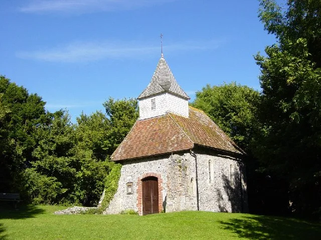 📷 5
📷 5Historic churches · South East England
Lullington Church
Lullington Church — church in Lullington, East Sussex, England, UK.
Mountain bike trails · South East England
Friston Forest Red MTB Route
Friston Forest Red MTB Route — a mtb trail in england south east.
More forests in this region
 📷 5
📷 5Forests & woodlands · South East England
Alice Holt Forest
Alice Holt Forest is a forest or woodland in the United Kingdom.
.jpg?width=1200) 📷 5
📷 5Forests & woodlands · South East England
Alverstone Mead Nature Reserve
Alverstone Mead Nature Reserve is a forest or woodland in the United Kingdom.
 📷 5
📷 5Forests & woodlands · South East England
Ambarrow Court
Ambarrow Court is a forest or woodland in the United Kingdom.
 📷 5
📷 5Forests & woodlands · South East England
Ancells Farm Nature Reserve
Ancells Farm Nature Reserve is a forest or woodland in the United Kingdom.
Frequently asked questions
- Where is Lullington Heath National Nature Reserve?
- Lullington Heath National Nature Reserve is in East Sussex, South-East England, United Kingdom (postcode BN26 5QE), in the parish of Willingdon and Jevington.
- Is Lullington Heath National Nature Reserve a protected site?
- Yes — Lullington Heath National Nature Reserve is part of the Seaford to Beachy Head SSSI Site of Special Scientific Interest and the Lullington Heath SSSI Site of Special Scientific Interest.
- Is Lullington Heath National Nature Reserve free to visit?
- Yes, Lullington Heath National Nature Reserve is free to enter.
- How do I get to Lullington Heath National Nature Reserve?
- The nearest railway station is Mungo's Central Station, about 3.7 km away. Drivers can navigate to postcode BN26 5QE.