Towns & cities · South East England
Lower Beeding
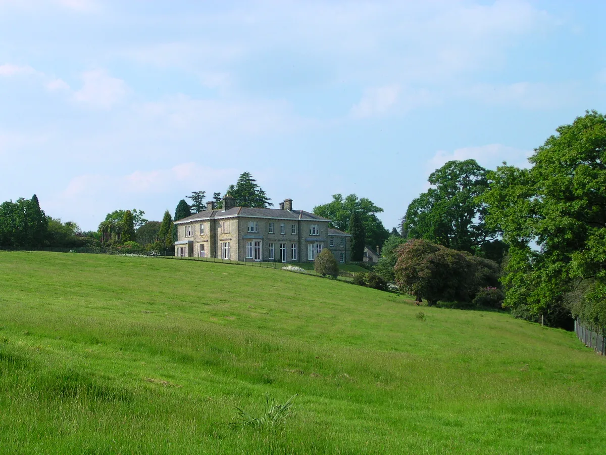
Lower Beeding — village in West Sussex, England, UK.

Wikimedia Commons contributors — see linked file page for photographer and licence licence
Plan your visit
- Typical visit
- 3 h–6 h
- Nearest railway station
- Horsham · 5.5 km
- Free entry
- Family-friendly
- Dog-friendly
About
Lower Beeding is a town, city, village or settlement in the United Kingdom. It covers approximately 18 km². Recent population estimates put it at around 1,001 people. Wikidata describes it as: "village in West Sussex, England, UK". Coordinates: 51.0329°, -0.2612°.
Photo gallery
Protected designations
- Area of Outstanding Natural Beauty: High Weald
Designations sourced from Natural England open data under OGL v3.
From the Wikipedia article
Lower Beeding is a village and civil parish in the Horsham District of West Sussex, England. The village lies on the B2110, B2115 and A281 roads, 3.5 miles (6 km) south-east from Horsham, and is centred on Holy Trinity Church and The Plough public house, where the B2115 meets the B2110. The parish hamlets include Crabtree to the south of the village, and Ashfold Crossways and Plummer's Plain to the north-east. A spring at Plummer's Plain is the official source of the River Ouse, which eventually reaches the sea at Newhaven. In the early 13th century, monks of Sele Priory (St Peter's Church, Upper Beeding) established a small mission base in St Leonard's Forest near Horsham, naming it Lower Beeding. Despite being about 12 miles (19 km) away, Lower Beeding remained part of (Upper) Beeding parish until Victorian times. The existence of Lower Beeding led to differentiation in the name of the original Beeding in some medieval sources, adding the 'Upper'. A local landmark is Leonardslee Gardens, located between Lower Beeding village and Crabtree, which closed to the public in 2010 but reopened in April 2019. The South Lodge Hotel in Lower Beeding was the venue for the 2009 G20 Summit meeting of finance ministers. Newells Preparatory School was located in the village until 1968; it is today in Handcross and part of Brighton College.
Excerpt from Wikipedia under CC BY-SA 4.0. See the source article linked in Sources below.
- Coordinates
- 51.0329, -0.2612
- County
- West Sussex
- District
- Horsham
- Parish
- Lower Beeding
- Postcode
- RH13 6LT
- Parliamentary constituency
- Horsham
- Population
- 1,001
- Nearest railway station
- Horsham — 5.5 km
- Official site
- www.westsussex.gov.uk
Sources
- wikidata: Q1606780 (CC0)
- wikipedia: Lower Beeding (CC BY-SA 4.0)
- commons: Lower Beeding Church.JPG (CC BY-SA 4.0)
Other places nearby
Loading nearby places…
Nearby
 📷 5
📷 5Memorials & monuments · South East England
Lower Beeding War Memorial
Lower Beeding War Memorial — Grade II listed building-listed memorial in england-south-east, United Kingdom.
📷 5Natural landmarks · South East England
Newells Preparatory School
Newells Preparatory School — a school heritage in england-south-east, United Kingdom.
 📷 5
📷 5Museums · South East England
Doll's House Museum
Doll's House Museum — a museum in england-south-east, United Kingdom.
 Flagship📷 10
Parks · South East England
Leonardslee
Leonardslee — park in West Sussex, England, UK.
 📷 5
📷 5Historic houses · South East England
Leonardslee
Leonardslee — Italianate house in Lower Beeding, Horsham, West Sussex, RH13.
 📷 5
📷 5Public art & sculpture · South East England
Faith
Faith — a public art in england-south-east, United Kingdom.
More towns in this region
 Flagship📷 10
Towns & cities · South East England
Aldermaston
Aldermaston — village and civil parish in West Berkshire in England, UK.
 Flagship📷 10
Towns & cities · South East England
Aldingbourne
Aldingbourne — village and civil parish in Arun, West Sussex, UK.
 Flagship📷 10
Towns & cities · South East England
Aldington
Aldington — village and civil parish in the Ashford District of Kent, England.
 Flagship📷 10
Towns & cities · South East England
Aldworth
Aldworth — village and civil parish in the English county of Berkshire.
Frequently asked questions
- Where is Lower Beeding?
- Lower Beeding is in West Sussex, South-East England, United Kingdom (postcode RH13 6LT), in the parish of Lower Beeding.
- Is Lower Beeding a protected site?
- Yes — Lower Beeding is part of the High Weald National Landscape (AONB).
- Is Lower Beeding free to visit?
- Yes, Lower Beeding is free to enter.
- How do I get to Lower Beeding?
- The nearest railway station is Horsham, about 5.5 km away. Drivers can navigate to postcode RH13 6LT.