Natural landmarks · North East England
Low Fell
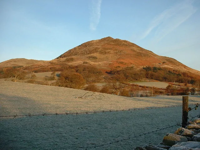
Low Fell — mountain in United Kingdom.

Wikimedia Commons contributors — see linked file page for photographer and licence licence
Plan your visit
- Typical visit
- 1 h–2 h
- Free entry
- Dog-friendly
About
Low Fell is a named natural landmark in the United Kingdom. Wikidata describes it as: "mountain in United Kingdom". Coordinates: 54.5912°, -3.3371°.
Photo gallery
Protected designations
- Site of Special Scientific Interest: River Derwent and Tributaries SSSI
Designations sourced from Natural England open data under OGL v3.
From the Wikipedia article
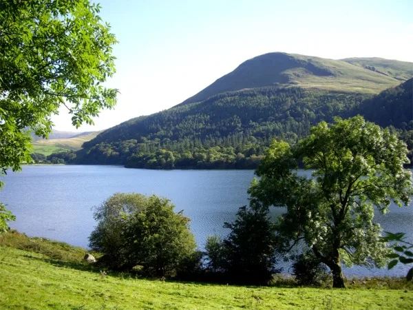
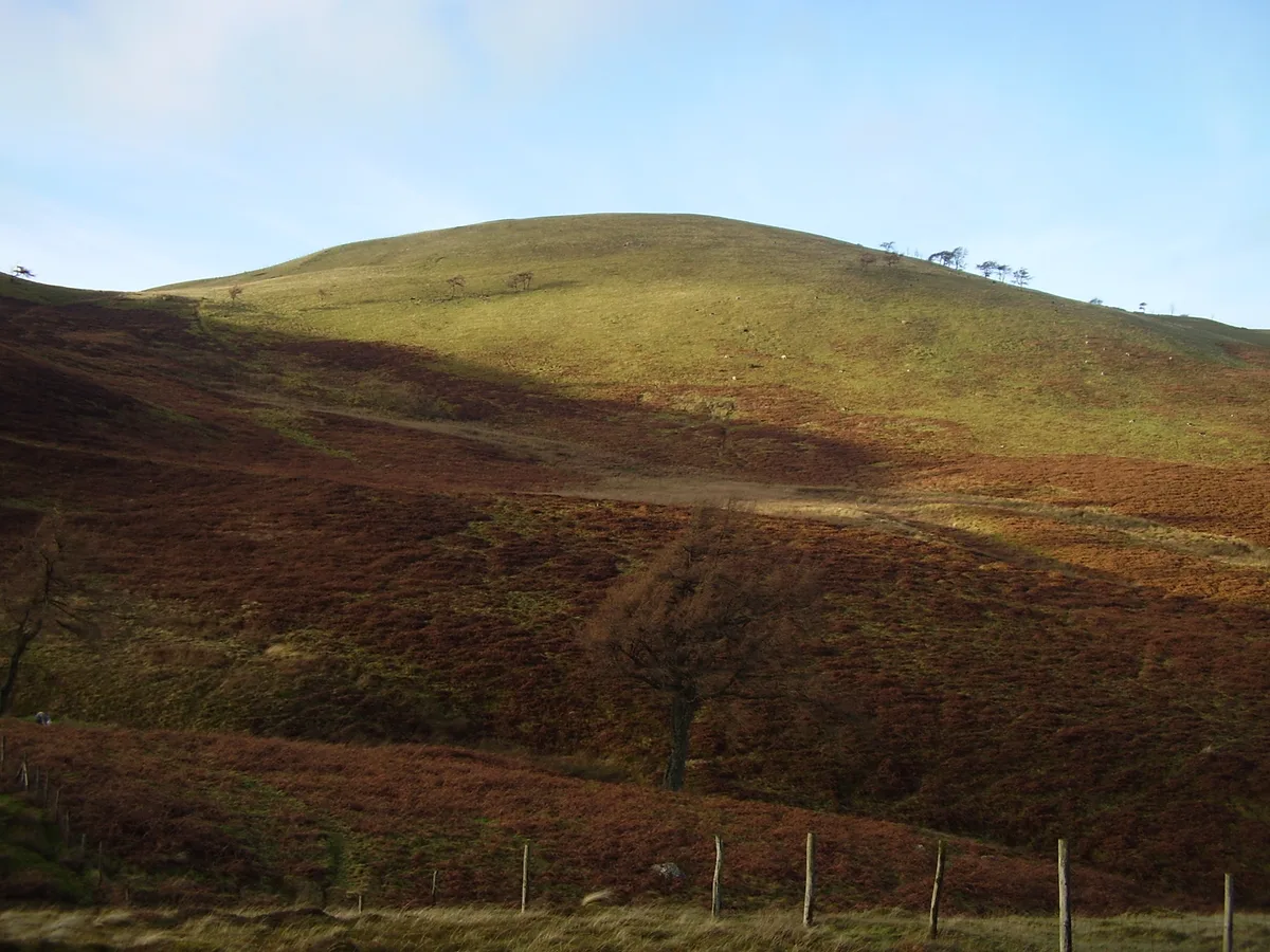
Low Fell is a fell in the English Lake District. It overlooks the lake of Loweswater to the south and to the north is bordered by its neighbour Fellbarrow. It is usually climbed from the villages of Loweswater or Thackthwaite. The fell is largely occupied by grassed enclosures, although there are some rocky outcrops near the top. Low Fell has fairly steep slopes to the south and east.
Excerpt from Wikipedia under CC BY-SA 4.0. See the source article linked in Sources below.
- Coordinates
- 54.5912, -3.3371
- District
- Cumberland
- Parish
- Loweswater
- Postcode
- CA13 0RS
- Parliamentary constituency
- Penrith and Solway
Sources
- wikidata: Q6692862 (CC0)
- wikipedia: Low Fell (Lake District) (CC BY-SA 4.0)
- commons: Low fell.jpg (CC BY-SA 4.0)
Other places nearby
Loading nearby places…
Nearby
 📷 3
📷 3Mountains & hills · North East England
Low Fell (summit)
Low Fell (summit) — Named summit at 422.5 m.
 📷 3
📷 3Towns & cities · Scottish Lowlands
Thackthwaite
Thackthwaite — village in Cumbria, United Kingdom.
 📷 3
📷 3Natural landmarks · North East England
Loweswater
Loweswater — lake in the United Kingdom.
 📷 3
📷 3Natural landmarks · Scottish Lowlands
Fellbarrow
Fellbarrow — mountain in United Kingdom.
 📷 3
📷 3Mountains & hills · Scottish Lowlands
Fellbarrow
Fellbarrow — Named summit at 416 m.
Hostels · North East England
Swallow Barn
Swallow Barn — a hostel in england north east.
More natural landmarks in this region
 Flagship📷 5
Natural landmarks · North East England
Brothers Water
Brothers Water — lake in Cumbria, England, UK.
 📷 5
📷 5Natural landmarks · North East England
Angle Tarn
Angle Tarn — lake near Patterdale, Cumbria, England, United Kingdom.
 📷 3
📷 3Natural landmarks · North East England
Angletarn Pikes
Angletarn Pikes — mountain in United Kingdom.
 📷 3
📷 3Natural landmarks · North East England
Ard Crags
Ard Crags — mountain in United Kingdom.
Frequently asked questions
- Where is Low Fell?
- Low Fell is in North-East England, United Kingdom (postcode CA13 0RS), in the parish of Loweswater.
- Is Low Fell a protected site?
- Yes — Low Fell is part of the River Derwent and Tributaries SSSI Site of Special Scientific Interest.
- Is Low Fell free to visit?
- Yes, Low Fell is free to enter.
- How do I get to Low Fell?
- Drivers can navigate to postcode CA13 0RS. It sits within the Penrith and Solway parliamentary constituency.