Country parks · East Midlands
Lovers' Walks
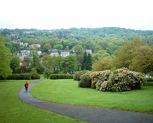
Lovers' Walks — public park in Matlock Bath, Derbyshire, England.

Wikimedia Commons licence
Plan your visit
- Typical visit
- 1.5 h–3 h
- Nearest railway station
- Matlock Bath · 0.5 km
- Free entry
- Family-friendly
- Dog-friendly
About
Lovers' Walks is a country park in the United Kingdom. Heritage designation: Grade II* listed park and garden. Wikidata describes it as: "public park in Matlock Bath, Derbyshire, England". Coordinates: 53.1186°, -1.5600°.
Photo gallery
Protected designations
- Site of Special Scientific Interest: Matlock Woods SSSI
- Site of Special Scientific Interest: Masson Hill SSSI
Designations sourced from Natural England open data under OGL v3.
From the Wikipedia article
Lovers' Walks is a public park in Matlock Bath, in Derbyshire, England. Its history dates from the 18th century, and it is listed Grade II* in Historic England's Register of Parks and Gardens. It is designated a Site of Special Scientific Interest.
Excerpt from Wikipedia under CC BY-SA 4.0. See the source article linked in Sources below.
Background
History
Lovers' Walks, on the east bank of the River Derwent opposite Matlock Bath, dates back to before 1742; it is said be the oldest surviving example of a public pleasure ground. It featured The Cascades, where a thermal spring flowed to the river. The site became in 1782 part of the estate of Richard Arkwright, adjacent to the landscaped gardens of his home at Willersley Castle.
Description
The area of Lovers' Walks is about 5 ha. Jubilee Bridge, built in 1887, leads there from North Parade in the village, and New Bridge further south, built in 1969, leads to the site from Derwent Gardens. A path constructed in 1997 leads from Matlock Bath railway station to the northern end of the grounds. About 60 m south of Jubilee Bridge there is a children's playground; in the 1920s and 1930s there were animal houses and an aviary nearby. The northern limit of the site was about here before 1785. About 180 m south of Jubilee Bridge are two small building, a former shop and a shelter once used by ferry passengers. There is a riverside path, and a parallel path above a wooded slope, which…
Sourced from Wikipedia under CC BY-SA 4.0.
- Coordinates
- 53.1186, -1.5600
- County
- Derbyshire
- District
- Derbyshire Dales
- Parish
- Matlock Bath
- Postcode
- DE4 3PW
- Parliamentary constituency
- Derbyshire Dales
- Nearest railway station
- Matlock Bath — 0.5 km
- Opening
- | website = {{URL|https://www.derbyshiredales.gov.uk/leisure/parks-and-open-spaces/lovers-walks-matlock-bath}}
- Official site
- www.derbyshiredales.gov.uk
Sources
- wikidata: Q130747931 (CC0)
- wikipedia: Lovers' Walks (CC BY-SA 4.0)
Other places nearby
Loading nearby places…
Nearby
 📷 3
📷 3Country parks · East Midlands
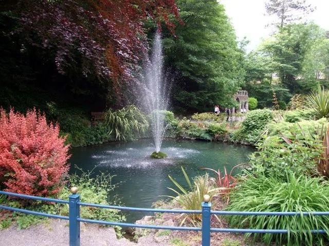
Derwent Gardens
Derwent Gardens — public park in Matlock Bath, Derbyshire, England.
 📷 5
📷 5Forts · East Midlands
Obelisk At Junction Of Temple Road And South Parade
Obelisk At Junction Of Temple Road And South Parade — a martello broad in england-east-midlands, United Kingdom.
 📷 3
📷 3Museums · East Midlands
Peak District Mining Museum
Peak District Mining Museum — a museum in england-east-midlands, United Kingdom.
 📷 5
📷 5Museums · East Midlands
Peak District Lead Mining Museum
Peak District Lead Mining Museum — a museum in england-east-midlands, United Kingdom.
 📷 3
📷 3Natural landmarks · East Midlands
Temple Mine
Temple Mine — a other in england-east-midlands, United Kingdom.
B&Bs · East Midlands
Hodgkinson's
Hodgkinson's — a bed-and-breakfast in england east midlands.
More places in this region
 📷 5
📷 5Country parks · East Midlands
Norfolk Heritage Park
Norfolk Heritage Park — park in Sheffield, United Kingdom.
 📷 3
📷 3Country parks · East Midlands
The Arboretum
The Arboretum — park in Nottingham, England, UK.
 📷 3
📷 3Country parks · East Midlands
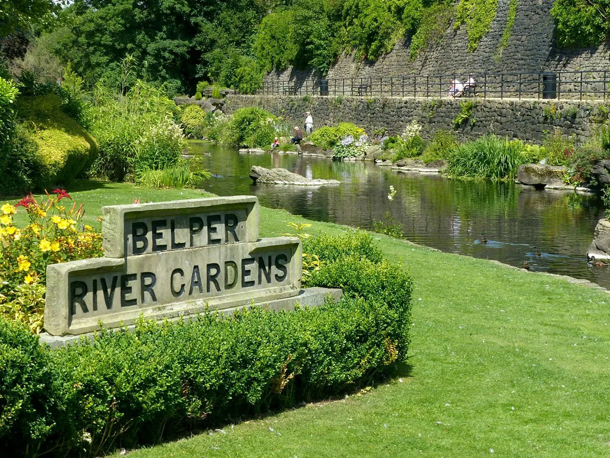
Belper River Gardens
Belper River Gardens — park in Belper, Derbyshire, England.
 📷 5
📷 5Country parks · East Midlands
Bingham Park and Whiteley Woods
Bingham Park and Whiteley Woods — park and woods in South Yorkshire, England.
Frequently asked questions
- Where is Lovers' Walks?
- Lovers' Walks is in Derbyshire, the East Midlands, United Kingdom (postcode DE4 3PW), in the parish of Matlock Bath.
- Who owns Lovers' Walks?
- Lovers' Walks is owned by Derbyshire Dales District Council.
- Is Lovers' Walks a listed building?
- Lovers' Walks is officially recognised as Grade II* listed park and garden listed.
- Is Lovers' Walks a protected site?
- Yes — Lovers' Walks is part of the Matlock Woods SSSI Site of Special Scientific Interest and the Masson Hill SSSI Site of Special Scientific Interest.
- Is Lovers' Walks free to visit?
- Yes, Lovers' Walks is free to enter.
- How do I get to Lovers' Walks?
- The nearest railway station is Matlock Bath, about 0.5 km away. Drivers can navigate to postcode DE4 3PW.