Towns & cities · Northern Ireland
Loughinisland
Also known as: Loch an Oileáin
Loughinisland — village in County Down, Northern Ireland, UK.

Wikimedia Commons contributors — see linked file page for photographer and licence licence
Plan your visit
- Typical visit
- 3 h–6 h
- Nearest railway station
- Inch Abbey · 5.6 km
- Free entry
- Family-friendly
- Dog-friendly
About
Loughinisland is a town, city, village or settlement in the United Kingdom. Address: BT30. Wikidata describes it as: "village in County Down, Northern Ireland, UK". Coordinates: 54.3381°, -5.8231°.
Photo gallery
From the Wikipedia article
Loughinisland ( LOKH-in-EYE-lənd, from Irish Loch an Oileáin 'lake of the island') is a small village and civil parish in County Down, Northern Ireland. It is between Downpatrick and Ballynahinch, about 21 miles (34 kilometres) south of Belfast.
Excerpt from Wikipedia under CC BY-SA 4.0. See the source article linked in Sources below.
Background
History
The village of Loughinisland grew up in the townland of Tievenadarragh, beside a lake which has a small island on it. This island was the headquarters of the McCartan clan who were powerful from 11th century to 16th century, ruling over the surrounding territory of Kinelarty. The village is known for its three churches that were built on this island between the 13th and 17th centuries. Ruins of the churches and a cemetery can still be seen. In addition to its parish churches, in 1836 it was recorded that there was a school in Loughinisland.
Sourced from Wikipedia under CC BY-SA 4.0.
- Coordinates
- 54.3381, -5.8231
- District
- Newry, Mourne and Down
- Postcode
- BT30
- Parliamentary constituency
- South Down
- Nearest railway station
- Inch Abbey — 5.6 km
- Official site
- web.archive.org
Sources
- wikidata: Q170141 (CC0)
- wikipedia: Loughinisland (CC BY-SA 4.0)
- commons: Church Loughinisland.jpg (CC BY-SA 4.0)
Other places nearby
Loading nearby places…
Nearby
 📷 3
📷 3Archaeological sites · Northern Ireland
Rays Fort
Rays Fort — a archaeological in northern-ireland, United Kingdom.
 📷 3
📷 3Historic churches · Northern Ireland
Loughinisland Churches
Loughinisland Churches — set of 3 ruined church building in Downpatrick, County Down, Northern Ireland.
_-_geograph.org.uk_-_798824.jpg?width=1200) 📷 4
📷 4Natural landmarks · Northern Ireland
Tievenadarragh
Tievenadarragh in Northern Ireland, United Kingdom.
 📷 5
📷 5Burial mounds & barrows · Northern Ireland
Annadorn Dolmen
Annadorn Dolmen in Northern Ireland, United Kingdom.
 📷 3
📷 3Natural landmarks · Northern Ireland
Annadorn
Annadorn in Northern Ireland, United Kingdom.
 📷 3
📷 3Wildlife reserves · Northern Ireland
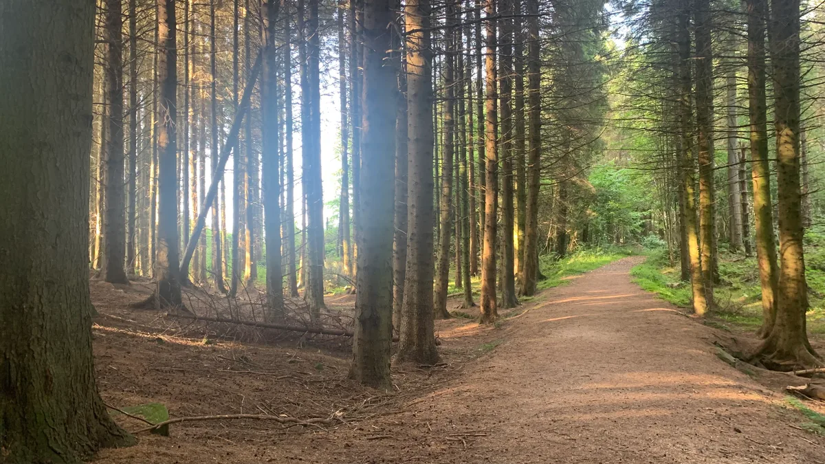
Bohill Forest
Bohill Forest — nature reserve in Count Down, Northern Ireland.
More towns in this region
 Flagship📷 5
Towns & cities · Northern Ireland
Bangor
Bangor — city in Northern Ireland, United Kingdom.
 Flagship📷 5
Towns & cities · Northern Ireland
Belfast
Belfast — capital city of Northern Ireland.
 Flagship📷 3
Towns & cities · Northern Ireland
Derry
Derry — city in Northern Ireland.
 Flagship📷 5
Towns & cities · Northern Ireland
Lisburn
Lisburn — city in Northern Ireland.
Frequently asked questions
- Where is Loughinisland?
- Loughinisland is in Northern Ireland, United Kingdom (postcode BT30).
- Is Loughinisland free to visit?
- Yes, Loughinisland is free to enter.
- How do I get to Loughinisland?
- The nearest railway station is Inch Abbey, about 5.6 km away. Drivers can navigate to postcode BT30.