Mountains & hills · Scottish Lowlands
Longlands Fell
Longlands Fell — Named summit at 483 m.

Wikimedia Commons contributors — see linked file page for photographer and licence licence
Plan your visit
- Typical visit
- 3 h–8 h
- Best time of year
- Late spring – early autumn (May–Oct)
- Free entry
- Dog-friendly
About
Longlands Fell is a named summit in the United Kingdom. Wikidata describes it as: "Named summit at 483 m.". Coordinates: 54.7084°, -3.1253°.
Photo gallery
Protected designations
- Site of Special Scientific Interest: Skiddaw Group SSSI
Designations sourced from Natural England open data under OGL v3.
From the Wikipedia article
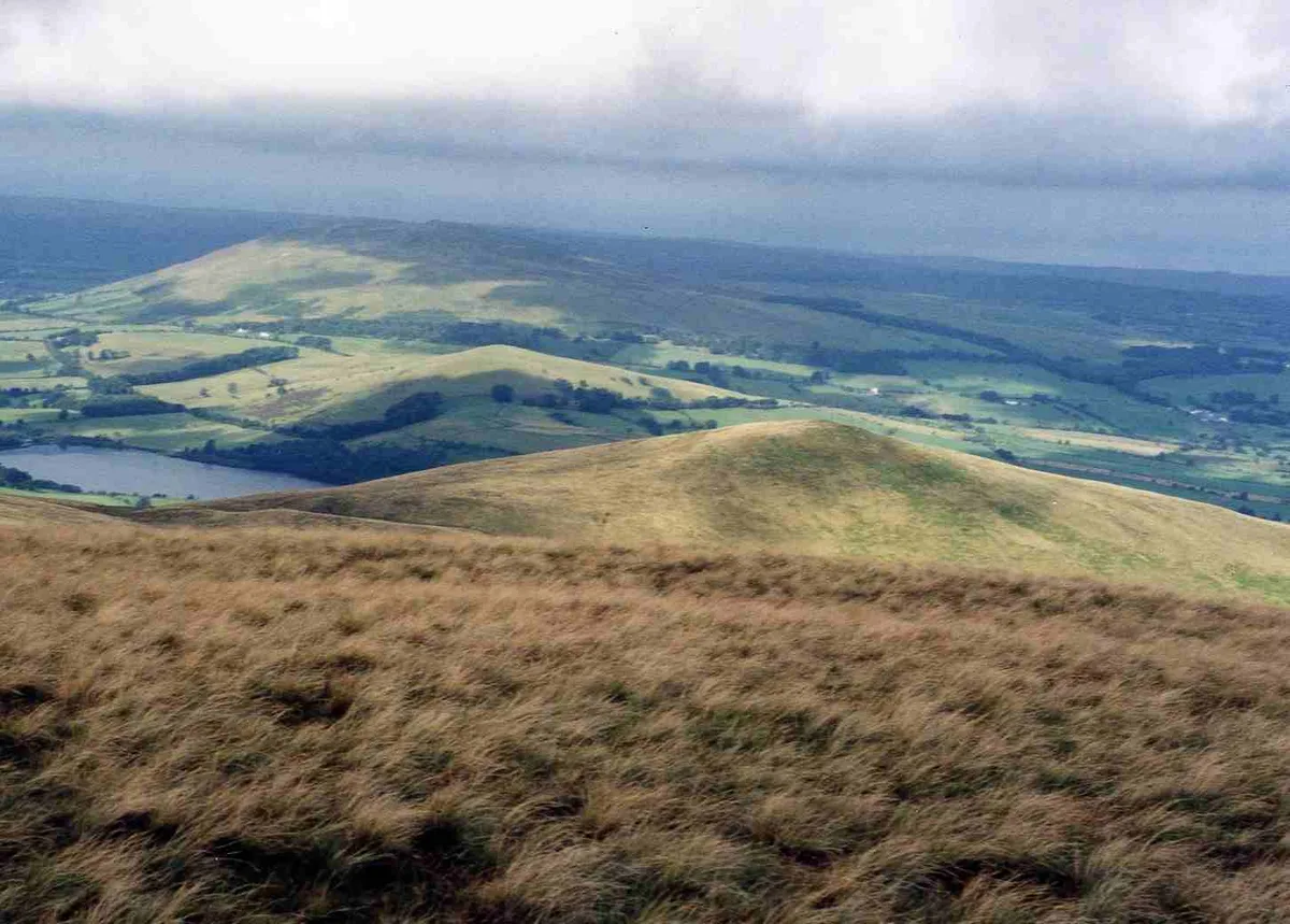
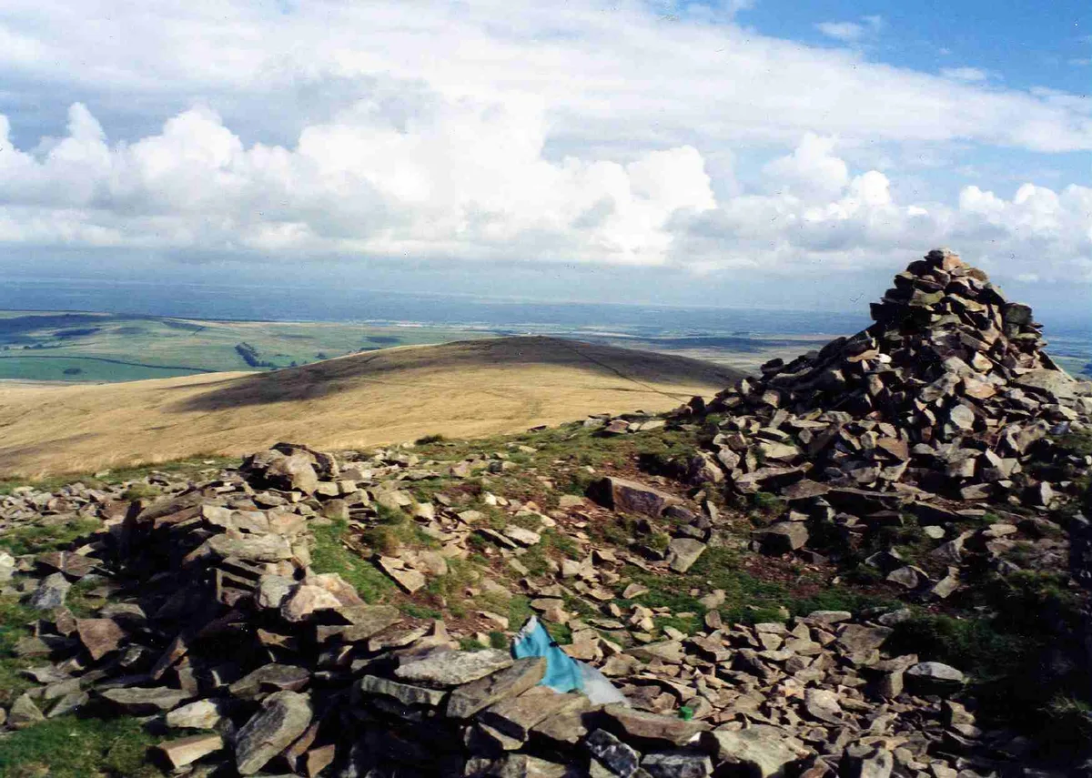
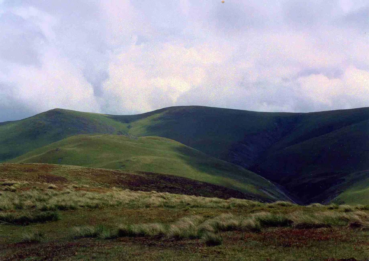
Longlands Fell is a small fell in the northern part of the English Lake District. It is situated in the high ground known as the Uldale Fells, 5.5 kilometres south west of the village of Caldbeck. It reaches a height of 483 m (1,585 ft) and it is (along with Binsey) the most northerly fell in the Lake District.
Excerpt from Wikipedia under CC BY-SA 4.0. See the source article linked in Sources below.
- Coordinates
- 54.7084, -3.1253
- District
- Cumberland
- Parish
- Ireby and Uldale
- Postcode
- CA7 1HN
- Parliamentary constituency
- Penrith and Solway
Sources
- osm: n29953215 (ODbL)
- wikipedia: Longlands Fell (CC BY-SA 4.0)
- commons: Longlands Fell from Brae Fell.jpg (CC BY-SA 4.0)
Other places nearby
Loading nearby places…
Nearby
 📷 3
📷 3Natural landmarks · Scottish Lowlands
Longlands Fell
Longlands Fell — mountain in United Kingdom.
 📷 3
📷 3Natural landmarks · Scottish Lowlands
Brae Fell
Brae Fell — mountain in United Kingdom.
 📷 3
📷 3Mountains & hills · Scottish Lowlands
Brae Fell
Brae Fell — Named summit at 586 m.
Vineyards · Scottish Lowlands
Uldale Fells
Uldale Fells — a UK vineyard in scotland lowlands, producing English or Welsh wine from cool-climate grape varieties.
 📷 3
📷 3Reservoirs & lochs · Scottish Lowlands
Chapelhouse Reservoir
Chapelhouse Reservoir — reservoir in Cumbria, England, UK.
 📷 3
📷 3Mountains & hills · Scottish Lowlands
Meal Fell
Meal Fell — Named summit at 549.4 m.
More mountains in this region
 📷 3
📷 3Mountains & hills · Scottish Lowlands
Andrewhinney Hill
Andrewhinney Hill — Named summit at 677 m.
 📷 3
📷 3Mountains & hills · Scottish Lowlands
Arbory Hill
Arbory Hill — Named summit at 429 m.
 📷 3
📷 3Mountains & hills · Scottish Lowlands
Auchenton Hill ( East Mount Lowther)
Auchenton Hill ( East Mount Lowther) — Named summit at 631 m.
 📷 3
📷 3Mountains & hills · Scottish Lowlands
Bakestall
Bakestall — Named summit at 673.5 m.
Frequently asked questions
- Where is Longlands Fell?
- Longlands Fell is in the Scottish Lowlands, United Kingdom (postcode CA7 1HN), in the parish of Ireby and Uldale.
- Is Longlands Fell a protected site?
- Yes — Longlands Fell is part of the Skiddaw Group SSSI Site of Special Scientific Interest.
- Is Longlands Fell free to visit?
- Yes, Longlands Fell is free to enter.
- How do I get to Longlands Fell?
- Drivers can navigate to postcode CA7 1HN. It sits within the Penrith and Solway parliamentary constituency.