Parks · East of England
Lolly Moor
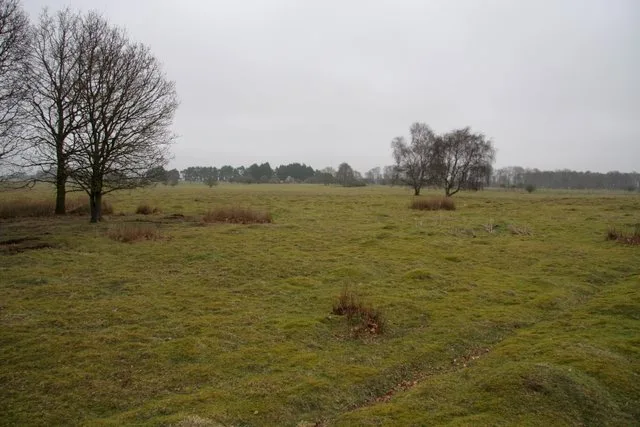
Lolly Moor — nature reserve in Norfolk.

Wikimedia Commons contributors — see linked file page for photographer and licence licence
Plan your visit
- Typical visit
- 1 h–2 h
- Nearest railway station
- Yaxham · 1.1 km
- Free entry
- Family-friendly
- Dog-friendly
- Limited wheelchair access
About
Lolly Moor is a public park in the United Kingdom. Managed by Norfolk Wildlife Trust. Wikidata describes it as: "nature reserve in Norfolk". Coordinates: 52.6540°, 0.9440°.
Photo gallery
Protected designations
- Site of Special Scientific Interest: River Wensum SSSI
Designations sourced from Natural England open data under OGL v3.
From the Wikipedia article
Lolly Moor is a 3-hectare (7.4-acre) nature reserve south of Dereham in Norfolk. It is managed by the Norfolk Wildlife Trust. This site has wet grassland, scrub and alder carr. Flora include cowslip, lesser celandine, southern marsh orchid, marsh helleborine and twayblade. There is access from Dereham Road.
Excerpt from Wikipedia under CC BY-SA 4.0. See the source article linked in Sources below.
- Coordinates
- 52.6540, 0.9440
- County
- Norfolk
- District
- Breckland
- Parish
- Whinburgh and Westfield
- Postcode
- NR19 1FT
- Parliamentary constituency
- Mid Norfolk
- Nearest railway station
- Yaxham — 1.1 km
Sources
- wikidata: Q6668978 (CC0)
- wikipedia: Lolly Moor (CC BY-SA 4.0)
- commons: Lolly Moor 1.jpg (CC BY-SA 4.0)
Other places nearby
Loading nearby places…
Nearby
 📷 3
📷 3Public art & sculpture · East of England
Westfield Village Sign
Westfield Village Sign — a public art in england-east, United Kingdom.
 📷 3
📷 3Parks · East of England
Yaxham Waters Holiday Park
Yaxham Waters Holiday Park — a other in england-east, United Kingdom.
 📷 3
📷 3Public art & sculpture · East of England
Yaxham Village Sign
Yaxham Village Sign — a public art in england-east, United Kingdom.
 📷 3
📷 3Memorials & monuments · East of England
Yaxham War Memorial
Yaxham War Memorial — Grade II listed building-listed memorial in england-east, United Kingdom.
 📷 3
📷 3Public art & sculpture · East of England
Lord Admiral Nelson
Lord Admiral Nelson — a public art in england-east, United Kingdom.
 📷 3
📷 3Public art & sculpture · East of England
Whinburgh Village Sign
Whinburgh Village Sign — a public art in england-east, United Kingdom.
More places run by Norfolk Wildlife Trust
 📷 5
📷 5Wildlife reserves · East of England
East Wretham Heath
East Wretham Heath — nature reserve near Thetford.
 Flagship📷 5
Wildlife reserves · East Midlands
Cley Marshes
Cley Marshes — nature reserve on the North Sea coast of England.
 Flagship📷 5
Wildlife reserves · East Midlands
Salthouse Marshes
Salthouse Marshes — nature reserve in Norfolk, England.
 📷 5
📷 5Wildlife reserves · East Midlands
Hoe Rough
Hoe Rough — nature reserve in Norfolk, England, UK.
More parks in this region
 📷 5
📷 5Parks · East of England
Chantry Park
Chantry Park — park in Ipswich, Suffolk, England, UK.
 📷 3
📷 3Parks · East of England
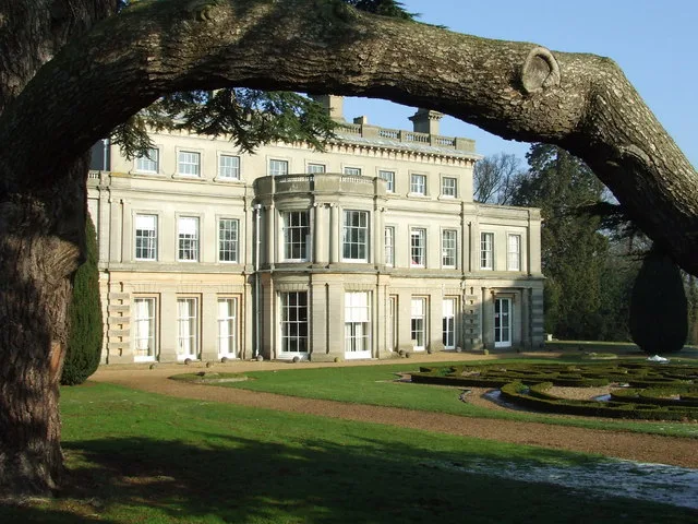
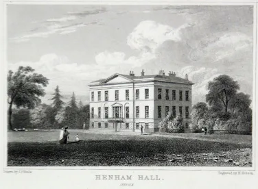
Henham Park
Henham Park — park in Wangford with Henham, East Suffolk, Suffolk, England, UK.
 📷 3
📷 3Parks · East of England
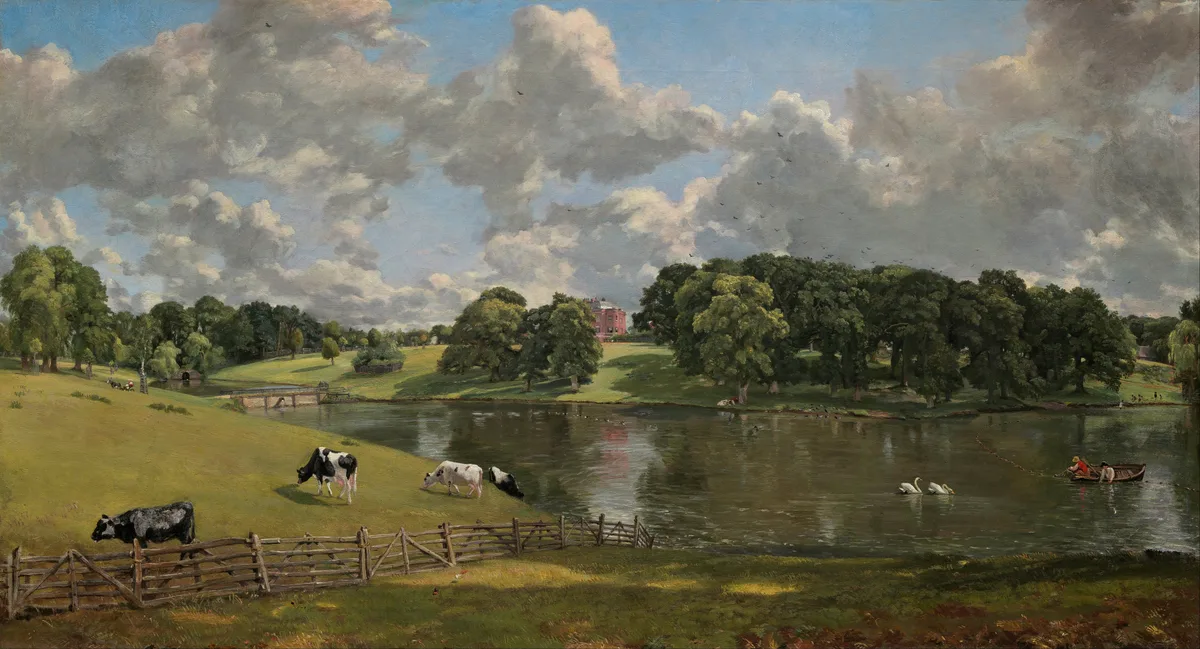
Wivenhoe Park
Wivenhoe Park — area of parkland near Colchester.
 📷 3
📷 3Parks · East of England
Alexandra Park
Alexandra Park — park in Ipswich, Suffolk, United Kingdom.
Frequently asked questions
- Where is Lolly Moor?
- Lolly Moor is in Norfolk, East of England, United Kingdom (postcode NR19 1FT), in the parish of Whinburgh and Westfield.
- Who runs Lolly Moor?
- Lolly Moor is operated by Norfolk Wildlife Trust.
- Is Lolly Moor a protected site?
- Yes — Lolly Moor is part of the River Wensum SSSI Site of Special Scientific Interest.
- Is Lolly Moor free to visit?
- Yes, Lolly Moor is free to enter.
- How do I get to Lolly Moor?
- The nearest railway station is Yaxham, about 1.1 km away. Drivers can navigate to postcode NR19 1FT.