Towns & cities · North Wales
Llanfairpwllgwyngyll
Llanfairpwllgwyngyll — village in Anglesey, Wales, United Kingdom.
_-_geograph.org.uk_-_1058335.jpg?width=1200)
Wikimedia Commons contributors — see linked file page for photographer and licence licence
_-_geograph.org.uk_-_1058335.jpg)
Plan your visit
- Typical visit
- 3 h–6 h
- Nearest railway station
- Llanfairpwll · 0.7 km
- Free entry
- Family-friendly
- Dog-friendly
About
Llanfairpwllgwyngyll is a town, city, village or settlement in the United Kingdom. Recent population estimates put it at around 3,107 people. Address: LL61. Wikidata describes it as: "village in Anglesey, Wales, United Kingdom". Coordinates: 53.2233°, -4.1994°.
Photo gallery
From the Wikipedia article
Llanfairpwllgwyngyll or Llanfair Pwllgwyngyll (Welsh: [ɬan.ˌvair.puɬˈɡwɨ̞n.ɡɨ̞ɬ]), often shortened to Llanfairpwll and sometimes to Llanfair PG, is a village and community on the Isle of Anglesey, Wales. It is located on the Menai Strait, next to the Britannia Bridge. At the 2011 Census the population was 3,107, of whom 71% could speak Welsh. As of the 2021 census, the population had decreased to 2,900 (rounded to the nearest 100). It is the sixth largest settlement in the county by population. Llanfairpwllgwyngyllgogerychwyrndrobwllllantysiliogogogoch ([ˌɬan.vair.pʊɬ.ˌɡwɨ̞ŋ.ɡɨ̞ɬ.ɡɔ.ˌɡɛ.rə.ˌχwərn.ˌdrɔ.bʊɬ.ˌɬan.tə.ˌsɪl.jɔˌɡɔ.ɡɔ.ˈɡoːχ] ) is a lengthened form of the name, used in some contexts. With 58 characters split into 18 syllables, it is purported to have the longest name in Europe and the second longest one-word place name in the world.
Excerpt from Wikipedia under CC BY-SA 4.0. See the source article linked in Sources below.
Background
History
, designed by Thomas Harrison, celebrating the heroism of the 1st Marquess of Anglesey at the Battle of Waterloo. At 27 m high, it offers views over Anglesey and the Menai Strait.]] The area has been settled since the Neolithic era (4000–2000 BC), with subsistence agriculture and fishing being the most common occupations for much of its early history. The island of Anglesey was at that point reachable only by boat across the Menai Strait. A largely destroyed, collapsed dolmen can be found from this period in the parish, located at Ty Mawr north of the present-day church; early Ordnance Survey maps show a long cairn on the site. The probable remains of a hillfort, with a fragmentary bank and…
Visiting
A few thousand local residents welcome about 200,000 visitors per year. The most popular attraction is the Llanfairpwll railway station that features the plate with the full name of the village. Other places of interest in the area include Anglesey Sea Zoo, Bryn Celli Ddu Burial Chamber, St. Tysilio's Church, and Plas Cadnant Hidden Gardens.
Sourced from Wikipedia under CC BY-SA 4.0.
- Coordinates
- 53.2233, -4.1994
- District
- Isle of Anglesey
- Parish
- Llanfair Pwllgwyngyll
- Postcode
- LL61
- Parliamentary constituency
- Ynys Môn
- Population
- 3,107
- Nearest railway station
- Llanfairpwll — 0.7 km
Sources
- wikidata: Q322 (CC0)
- wikipedia: Llanfairpwllgwyngyll (CC BY-SA 4.0)
- commons: Llanfair Pwllgwyngyll roofscape (2) - geograph.org.uk - 1058335.jpg (CC BY-SA 4.0)
Other places nearby
Loading nearby places…
Nearby
 📷 3
📷 3Historic houses · North Wales
Llanfairpwll Toll House
Llanfairpwll Toll House — a other in wales-north, United Kingdom.
 📷 3
📷 3Memorials & monuments · North Wales
Marquis of Anglesey Column
Marquis of Anglesey Column is a memorial in the United Kingdom.
 📷 3
📷 3Memorials & monuments · North Wales
Syr John Morris Jones
Syr John Morris Jones — a memorial in wales-north, United Kingdom.
 📷 4
📷 4Public art & sculpture · North Wales
Yma o Hyd
Yma o Hyd — a public art in wales-north, United Kingdom.
 📷 5
📷 5Memorials & monuments · North Wales
War Memorial
War Memorial is a memorial in the United Kingdom.
 📷 3
📷 3Galleries · North Wales
Oriel Ger Y Fenai
Oriel Ger Y Fenai — a gallery in wales-north, United Kingdom.
More towns in this region
 📷 5
📷 5Towns & cities · North Wales
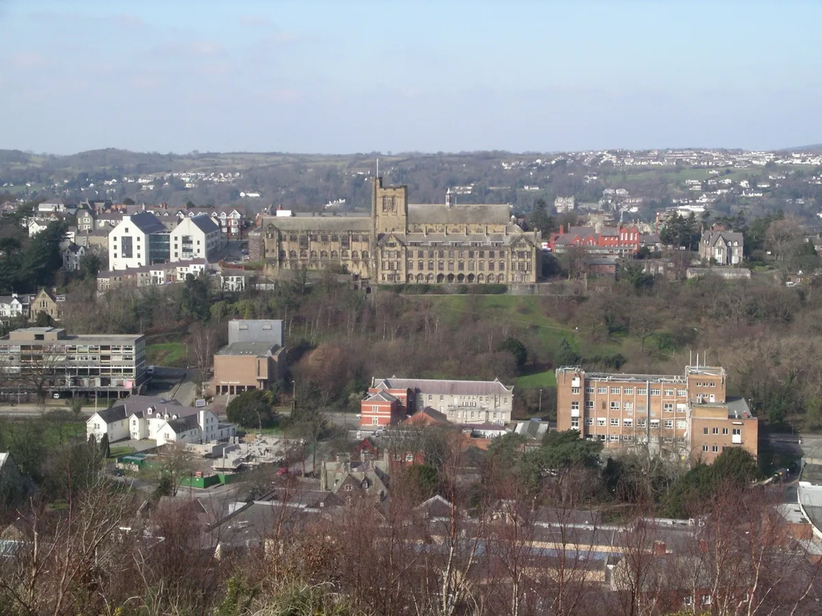
Bangor
Bangor — city in Gwynedd, Wales.
 Flagship📷 3
Towns & cities · North Wales
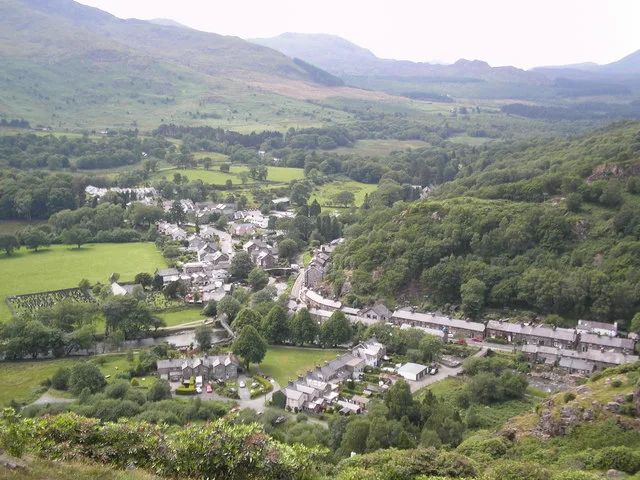
Beddgelert
Beddgelert — village and community in Gwynedd, Wales.
 Flagship📷 5
Towns & cities · North Wales
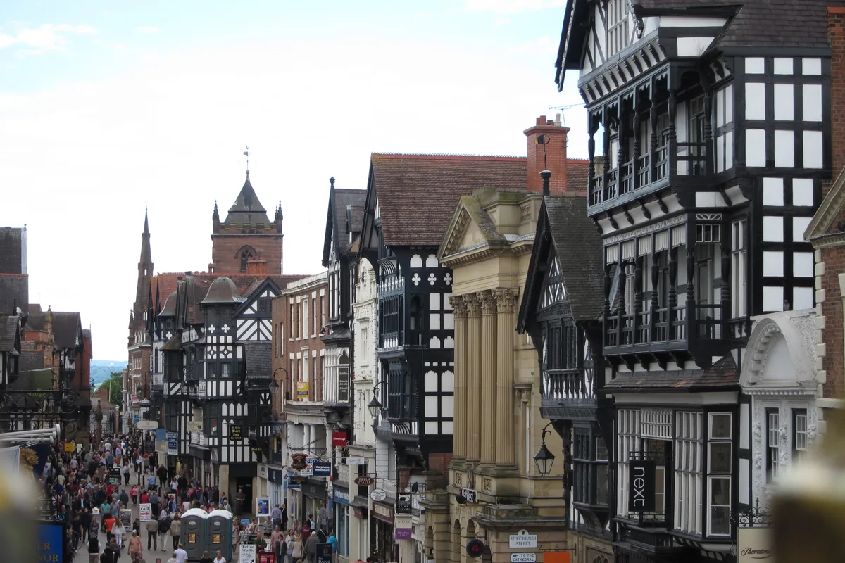
Chester
Chester — city in Cheshire, England.
 Flagship📷 3
Towns & cities · North Wales
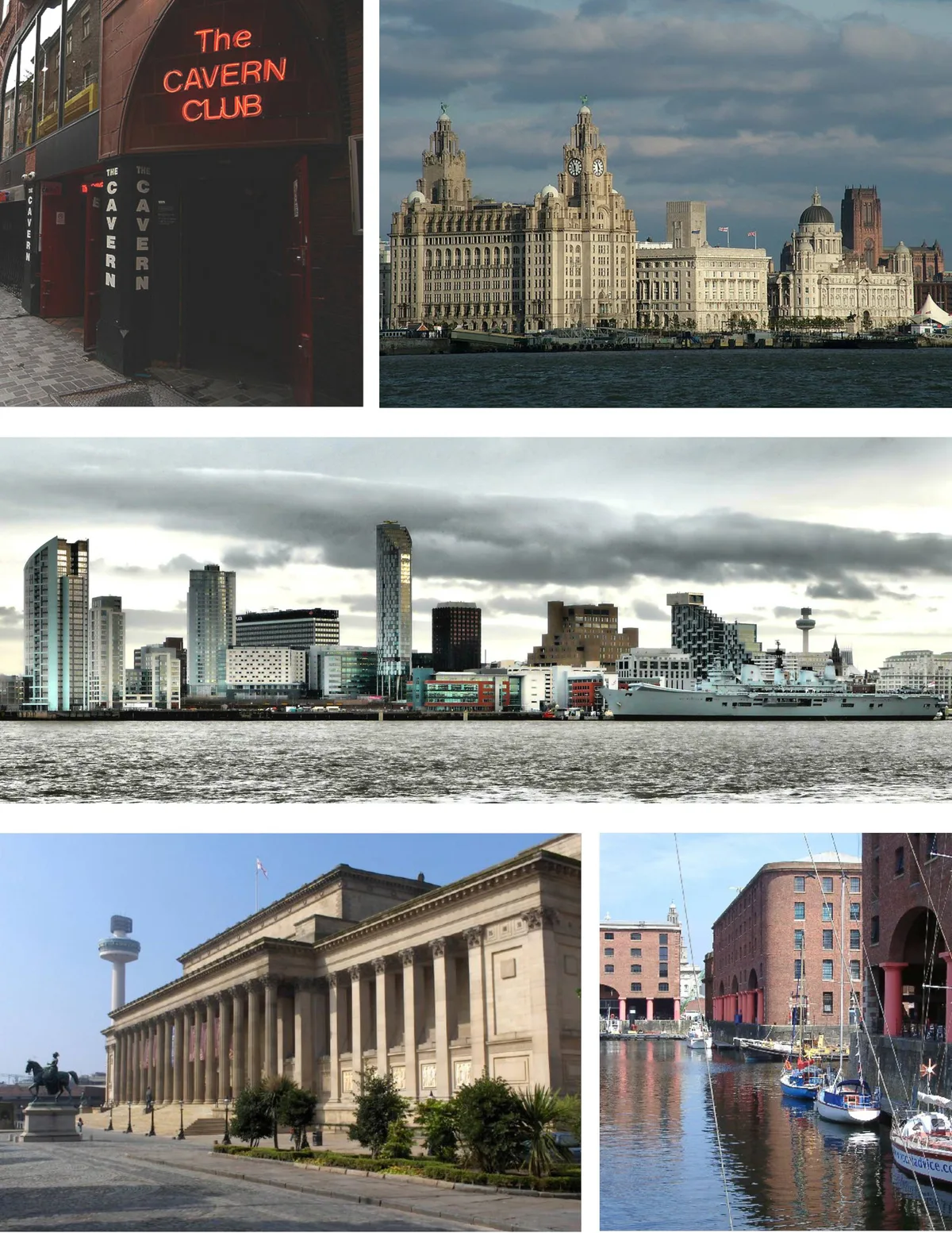
Liverpool
Liverpool — city in Merseyside, England, United Kingdom.
Frequently asked questions
- Where is Llanfairpwllgwyngyll?
- Llanfairpwllgwyngyll is in North Wales, United Kingdom (postcode LL61), in the parish of Llanfair Pwllgwyngyll.
- Is Llanfairpwllgwyngyll free to visit?
- Yes, Llanfairpwllgwyngyll is free to enter.
- How do I get to Llanfairpwllgwyngyll?
- The nearest railway station is Llanfairpwll, about 0.7 km away. Drivers can navigate to postcode LL61.