Mountains & hills · Yorkshire & the Humber
Little Whernside
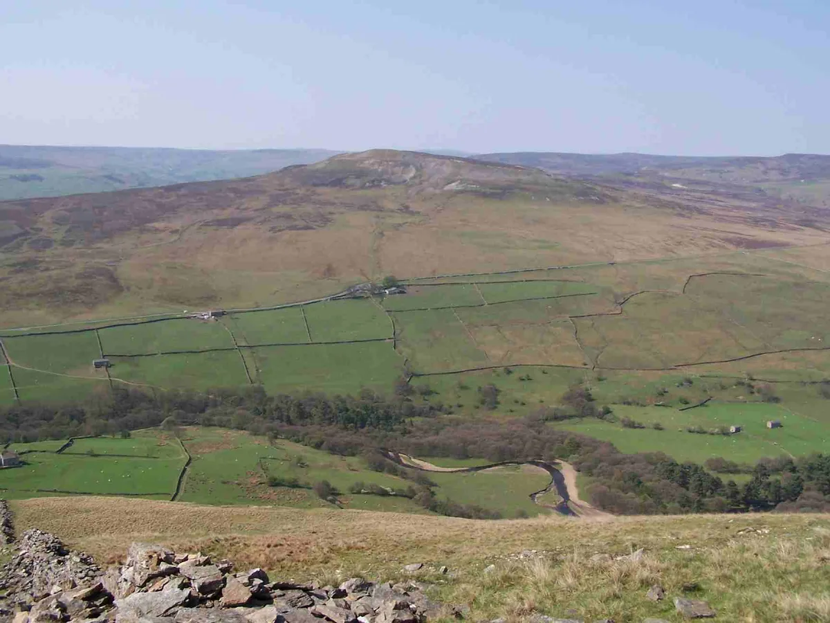
Little Whernside — Named summit at 604.7 m.

Wikimedia Commons contributors — see linked file page for photographer and licence licence
Plan your visit
- Typical visit
- 3 h–8 h
- Best time of year
- Late spring – early autumn (May–Oct)
- Free entry
- Dog-friendly
About
Little Whernside is a named summit in the United Kingdom. Wikidata describes it as: "Named summit at 604.7 m.". Coordinates: 54.1943°, -1.9589°.
Photo gallery
Protected designations
- Area of Outstanding Natural Beauty: Nidderdale
Designations sourced from Natural England open data under OGL v3.
From the Wikipedia article
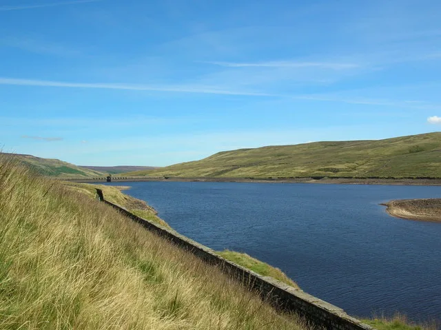
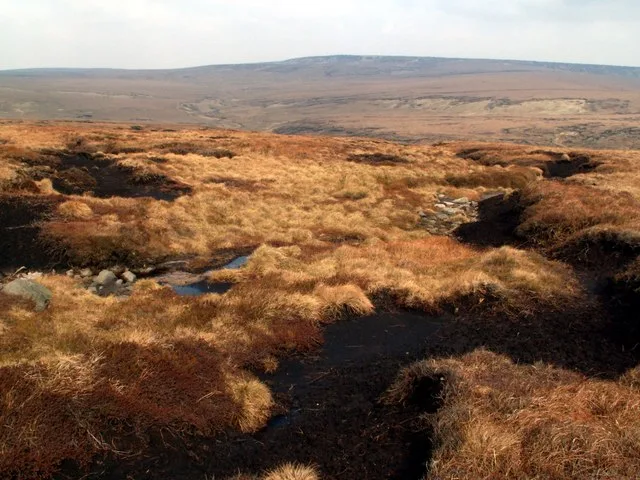
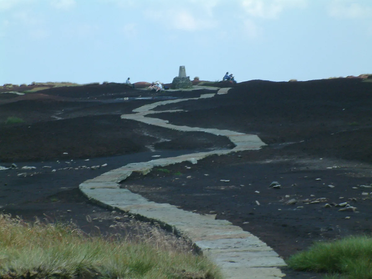
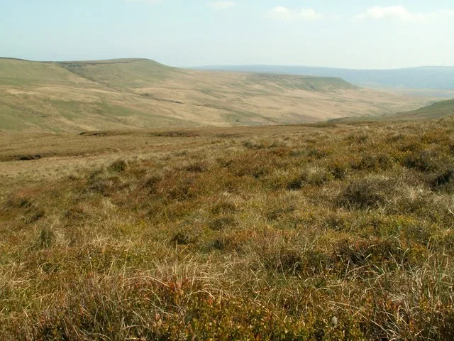
Little Whernside is a hill in the Yorkshire Dales, North Yorkshire, England, 2.82 miles (4.54 km) north east of Great Whernside. It is on the boundary between the Yorkshire Dales National Park and Nidderdale Area of Outstanding Natural Beauty, and forms part of the watershed between Coverdale and Nidderdale. The highest point is marked by a cairn, a few metres inside the National Park. Little Whernside is on private land. Until 1997 no public right of way was established to the summit of Little Whernside, but in that year a public footpath was established along the ridge linking the summit to the summit of Great Whernside. Following the Countryside and Rights of Way Act 2000 the hill became open access land. Little Whernside can be ascended from Scar House Reservoir.
Excerpt from Wikipedia under CC BY-SA 4.0. See the source article linked in Sources below.
- Coordinates
- 54.1943, -1.9589
- District
- North Yorkshire
- Parish
- Carlton Highdale
- Postcode
- DL8 4TY
- Parliamentary constituency
- Richmond and Northallerton
Sources
- osm: n29077130 (ODbL)
- wikipedia: Little Whernside (CC BY-SA 4.0)
- commons: The summit of Little Whernside - geograph.org.uk - 404966.jpg (CC BY-SA 4.0)
Other places nearby
Loading nearby places…
Nearby
 📷 3
📷 3Archaeological sites · Yorkshire & the Humber
former lime kiln
former lime kiln — a archaeological in england-yorkshire, United Kingdom.
 📷 5
📷 5Reservoirs & lochs · Yorkshire & the Humber
Angram Reservoir
Angram Reservoir — reservoir in North Yorkshire, England, UK.
 📷 3
📷 3Archaeological sites · Yorkshire & the Humber
Fire House Lathe
Fire House Lathe — a archaeological in england-yorkshire, United Kingdom.

Historic houses · Yorkshire & the Humber
Robin's Ground Lathe
Robin's Ground Lathe — a historic house in england-yorkshire, United Kingdom.
 📷 3
📷 3Archaeological sites · Yorkshire & the Humber
Calf Barn
Calf Barn — a archaeological in england-yorkshire, United Kingdom.

Caves · Yorkshire & the Humber
Whey Hole Pot
Whey Hole Pot is a cave in the United Kingdom.
More mountains in this region
 📷 3
📷 3Mountains & hills · Yorkshire & the Humber
Black Chew Head
Black Chew Head — Named summit at 542 m.
 📷 3
📷 3Mountains & hills · Yorkshire & the Humber
Black Hill
Black Hill — Named summit at 582 m.
 📷 3
📷 3Mountains & hills · Yorkshire & the Humber
Britland Edge Hill
Britland Edge Hill — Named summit at 523 m.
 📷 3
📷 3Mountains & hills · Yorkshire & the Humber
Calver Hill
Calver Hill — Named summit at 493 m.
Frequently asked questions
- Where is Little Whernside?
- Little Whernside is in Yorkshire, United Kingdom (postcode DL8 4TY), in the parish of Carlton Highdale.
- Is Little Whernside a protected site?
- Yes — Little Whernside is part of the Nidderdale National Landscape (AONB).
- Is Little Whernside free to visit?
- Yes, Little Whernside is free to enter.
- How do I get to Little Whernside?
- Drivers can navigate to postcode DL8 4TY. It sits within the Richmond and Northallerton parliamentary constituency.