Towns & cities · London
Little Thetford
Little Thetford — village near Ely, Cambridgeshire, England, UK.

Wikimedia Commons contributors — see linked file page for photographer and licence licence
Plan your visit
- Typical visit
- 3 h–6 h
- Nearest railway station
- Ely · 3.6 km
- Free entry
- Family-friendly
- Dog-friendly
About
Little Thetford is a town, city, village or settlement in the United Kingdom. It covers approximately 2 km². Recent population estimates put it at around 744 people. Address: CB6. Wikidata describes it as: "village near Ely, Cambridgeshire, England, UK". Coordinates: 52.3600°, 0.2500°.
Photo gallery
Protected designations
- Site of Special Scientific Interest: Ouse Washes SSSI
- Ramsar wetland: Ouse Washes
Designations sourced from Natural England open data under OGL v3.
From the Wikipedia article
Little Thetford is a small village in the civil parish of Thetford, 3 miles (5 km) south of Ely in Cambridgeshire, England, about 76 miles (122 km) by road from London. The village is built on a boulder clay island surrounded by flat fenland countryside, typical of settlements in this part of the East of England. During the Mesolithic era, the fenland basin was mostly dry and forested, although subject to salt and fresh water incursions. The marshes and meres of this fenland may therefore have been difficult to occupy, other than seasonally, but there is evidence of human settlement on the island since the late Neolithic Age; a Bronze Age causeway linked the village with the nearby Barway, to the south-east. An investigation undertaken before a 1995 development in the village discovered a farm and large tile-kiln of Romano-British origin; further investigations uncovered an earlier settlement of the Pre-Roman Iron Age. The Roman road Akeman Street passed through the north-west corner of the parish, and the lost 7th century Anglo-Saxon village of Cratendune may be nearby. The 10th-century Old English name, lȳtel Thiutforda, suggests a ford across the nearby River Great Ouse, which today forms most of the village's eastern boundary. In 1007, an Anglo-Saxon noblewoman named Ælfwaru granted her lands in Cambridgeshire and Norfolk, including the "land at Thetford and the fisheries around those marshes", to the abbots of Ely Abbey; the village was still listed as a fishery in the Domesday Book, 79 years later. Pasture farming, and harvesting of reeds, peat, and rushes were the other dominant activities of the time. The draining of the land, which began in the 17th century, enabled arable farming activity that continues to this day. During the late 19th century, coprolite, a phosphate-rich fossil used as a fertiliser, was mined in shallow pits around the village. Little Thetford resisted the parliamentary inclosure acts of William IV for seven years, which may have led to…
Excerpt from Wikipedia under CC BY-SA 4.0. See the source article linked in Sources below.
- Coordinates
- 52.3600, 0.2500
- County
- Cambridgeshire
- District
- East Cambridgeshire
- Parish
- Thetford
- Postcode
- CB6
- Parliamentary constituency
- Ely and East Cambridgeshire
- Population
- 744
- Nearest railway station
- Ely — 3.6 km
- Official site
- www.eastcambs.gov.uk
Sources
- wikidata: Q1845104 (CC0)
- wikipedia: Little Thetford (CC BY-SA 4.0)
- commons: Round house Little Thetford 13-10-2006.jpg (CC BY-SA 4.0)
Featured in these 3 guides
Itinerary
Britain's historic spa towns
Bath, Buxton, Cheltenham, Tunbridge Wells, Royal Leamington Spa.
Itinerary
Britain's biggest summer festivals
Glastonbury, Edinburgh Fringe, Hay-on-Wye, Latitude.
Itinerary
Britain's biggest Bonfire Night events
Lewes, Ottery St Mary, and the original Bonfire Society towns.
Other places nearby
Loading nearby places…
Nearby
 📷 5
📷 5Public art & sculpture · London
Little Thetford Village Sign
Little Thetford Village Sign — a public art in england-london, United Kingdom.
 📷 5
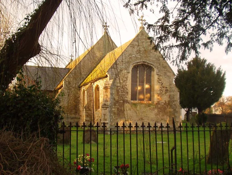
📷 5Historic churches · London
St George's Church, Little Thetford
St George's Church, Little Thetford — church in East Cambridgeshire, England, UK.
 📷 5
📷 5Memorials & monuments · London
Little Thetford War Memorial
Little Thetford War Memorial — Grade II listed building-listed memorial in england-london, United Kingdom.
Caravan parks · London
Two Acres Caravan Site
Two Acres Caravan Site — a caravan park in england london.
 📷 5
📷 5Historic churches · London
River Cam
River Cam — a church in england-london, United Kingdom.
 📷 5
📷 5Viewpoints · London
Sustrans waymark
Sustrans waymark is a viewpoint in the United Kingdom.
More towns in this region
 Flagship📷 10
Towns & cities · London
Aldenham
Aldenham — village and civil parish in Hertfordshire, England.
 Flagship📷 10
Towns & cities · London
Ashdon
Ashdon — village and civil parish in Essex, UK.
 Flagship📷 10
Towns & cities · London
Betchworth
Betchworth — village and civil parish in the Mole Valley district of Surrey, England.
 Flagship📷 10
Towns & cities · London
Boxley
Boxley — village and civil parish in Maidstone District, Kent, England, UK.
Frequently asked questions
- Where is Little Thetford?
- Little Thetford is in Cambridgeshire, London, United Kingdom (postcode CB6), in the parish of Thetford.
- Is Little Thetford a protected site?
- Yes — Little Thetford is part of the Ouse Washes SSSI Site of Special Scientific Interest and the Ouse Washes Ramsar wetland.
- Is Little Thetford free to visit?
- Yes, Little Thetford is free to enter.
- How do I get to Little Thetford?
- The nearest railway station is Ely, about 3.6 km away. Drivers can navigate to postcode CB6.